St. Charles in Kane County, Illinois — The American Midwest (Great Lakes)
Historic St. Charles
Early Industry in St. Charles
Photographed by Sean P. Flynn, October 1, 2024
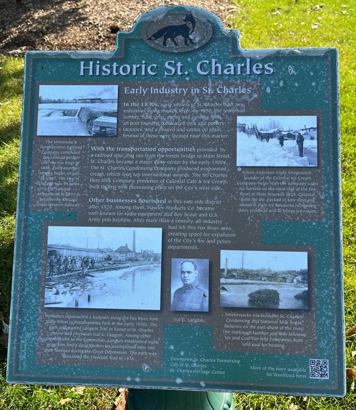
1. Historic St. Charles Marker
With the transportation opportunities provided by a railroad spur that ran from the trestle bridge to Main Street, St. Charles became a major dairy center by the early 1900s. The St. Charles Condensing Company produced evaporated cream, which won top international awards. The St. Charles Pure Milk Company, precursor of Colonial Café & Ice Cream, built its first milk processing plant on the City's west side.
Other businesses flourished in this east side district after 1920. Among them, Hawley Products
this page online
[Caption in the upper left:]
The Minnesota & Northwestern Railroad Company completed this railroad bridge over the Fox River in 1886, and passenger service began on July 31, 1887. The fare to Chicago was 99 cents. The railroad reorganized in 1892 to become the Chicago Great Western Railway.
[Caption in the lower left:]
Workmen constructed a footpath along the Fox River from Malo Street to Pottawatomie Park in the early 1930s. The path was named Langum Trail in honor of St. Charles mayor and physician Ival G. Langum. Among other contributions to the community, Langum established
Photographed by Sean P. Flynn, October 1, 2024
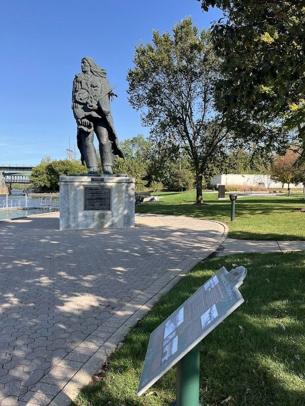
2. Historic St. Charles Marker and Potawatomi statue
[Caption in the upper right:]
Simon Anderson (right foreground), founder of the Colonial Ice Cream Company, helps with the company's last ice harvest on the west side of the Fox River at State Street in 1928. Colonial used the ice, packed in saw dust and stored in their ice house, to refrigerate dairy products and to freeze ice cream.
[Caption in the lower right:]
Smokestacks rise from the St. Charles Condensing and National Milk Sugar factories on the east shore of the river. The Harbaugh Lumber and R.B. Johnson Ice and Coal (far left) companies both sold coal for heating.
Erected 2013 by Downtown St. Charles Partnership; City of St. Charles; St.
Photographed by Sean P. Flynn, October 1, 2024
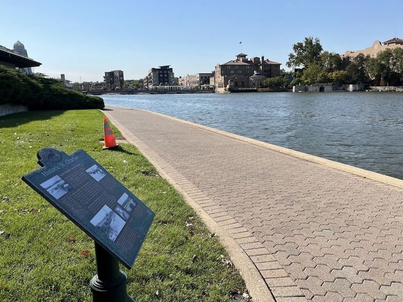
3. Historic St. Charles Marker overlooking the Fox River and downtown St. Charles
Topics. This historical marker is listed in these topic lists: Industry & Commerce • Railroads & Streetcars • Settlements & Settlers • Waterways & Vessels. A significant historical year for this entry is 1833.
Location. 41° 54.94′ N, 88° 18.856′ W. Marker is in St. Charles, Illinois, in Kane County. It is on North Riverside Avenue. The marker is along the pathway on the east side of the Fox River, a short distance from the large Pottowatomi statue. Touch for map. Marker is at or near this postal address: 213 N Riverside Ave, Saint Charles IL 60174, United States of America. Touch for directions.

Regionally, this marker is in Greater Chicago. It is also in the American Midwest. Globally, it is in North America, on the Great Lakes, in the Western Hemisphere, in the

Chicago Daily News Collection, Chicago History Museum, circa 1912
4. St. Charles, east river bank
This early 20th century photo shows the industry along the eastern side of the Fox River in St. Charles. The approximate site of today's historical marker is on the far left side of the photo.
Other nearby markers. At least 8 other markers are within walking distance of this marker: Ēkwabet (a few steps from this marker); The Pottawatomi (a few steps from this marker); Capt. Chuck Cooper (within shouting distance of this marker); Veterans Memorial (within shouting distance of this marker); Shelby School Bell (about 300 feet away, measured in a direct line); The Legend of Charlemagne (about 700 feet away); a different marker also named Historic St. Charles (about 800 feet away); St. Charles, Illinois (about 800 feet away). Touch for a list and map of all markers in St. Charles.
Also see . . .
1. St. Charles History from the city's website. (Submitted on October 4, 2024, by Sean P. Flynn of Oak Park, Illinois.)
2. Ival "Doc" Langum (Findagrave). The listing includes a brief bio of "Doc" Langum, who served seven terms as mayor of St. Charles. (Submitted on October 4, 2024, by Sean P. Flynn of Oak Park, Illinois.)
Credits. This page was last revised on April 23, 2025. It was originally submitted on October 4, 2024, by Sean P. Flynn of Oak Park, Illinois. This page has been viewed 827 times since then and 119 times this year. Photos: 1, 2, 3, 4. submitted on October 4, 2024, by Sean P. Flynn of Oak Park, Illinois.
