Fryeburg in Oxford County, Maine — The American Northeast (New England)
Robert E. Peary Stones
Photographed by Conrad Ward, September 27, 2024
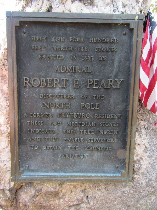
1. Robert E. Peary Stones Marker
Fifty and four hundred feet north lie stones erected in 1883 by
Robert E. Peary
Discoverer of the
North Pole
Topics. This historical marker is listed in these topic lists: Exploration • Science & Medicine. A significant historical year for this entry is 1883.
Location. 44° 1.136′ N, 70° 58.691′ W. Marker is in Fryeburg, Maine, in Oxford County. It is on Main Street (U.S. 302) south of Bradley Street, on the right when traveling south. Touch for map. Marker is at or near this postal address: 686 Main Street, Fryeburg ME 04037, United States of America. Touch for directions.

Regionally, this marker is in the Western Maine Lakes and Mountains Region. It is also in the American Northeast and in New England. Globally, it is in North America, the Great North Woods, the Western Hemisphere, the Western World, and the Anglosphere.
Other nearby markers. At least 8 other markers are within 7 miles of this marker, measured as the crow flies: John Stevens (approx. 0.2
this page online
Also see . . . Robert Peary (Wikipedia). (Submitted on October 14, 2024, by Michael Herrick of Southbury, Connecticut.)
Photographed by Conrad Ward, September 27, 2024
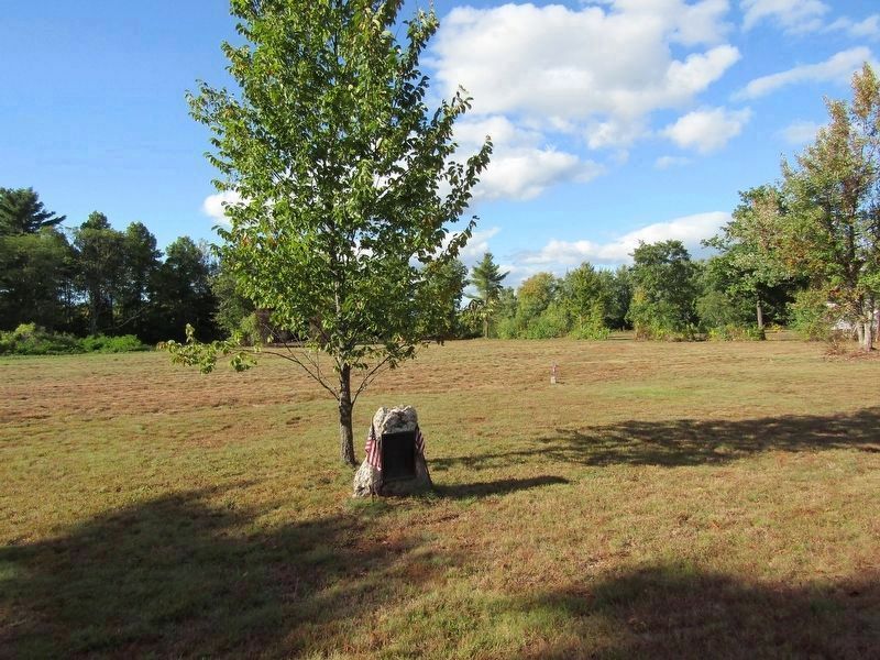
2. Robert E. Peary Stones Marker
Photographed by Conrad Ward, September 27, 2024
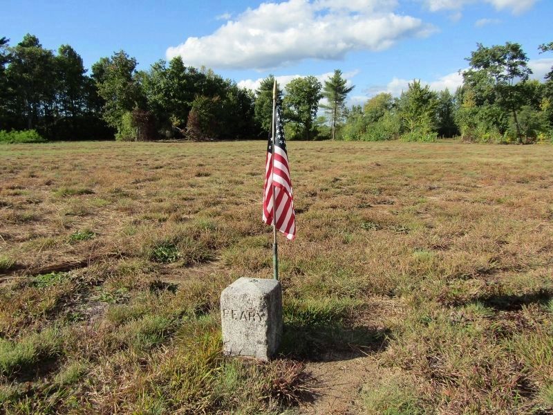
3. The First Stone
Photographed by Conrad Ward, September 27, 2024
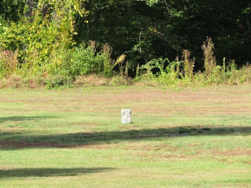
4. The Second Stone
Credits. This page was last revised on October 14, 2024. It was originally submitted on October 5, 2024, by Conrad Ward of Guilford, Connecticut. This page has been viewed 134 times since then and 23 times this year. Photos: 1, 2, 3, 4. submitted on October 5, 2024, by Conrad Ward of Guilford, Connecticut. • Michael Herrick was the editor who published this page.
