Bristol, Virginia — The American South (Mid-Atlantic)
Johnson Street
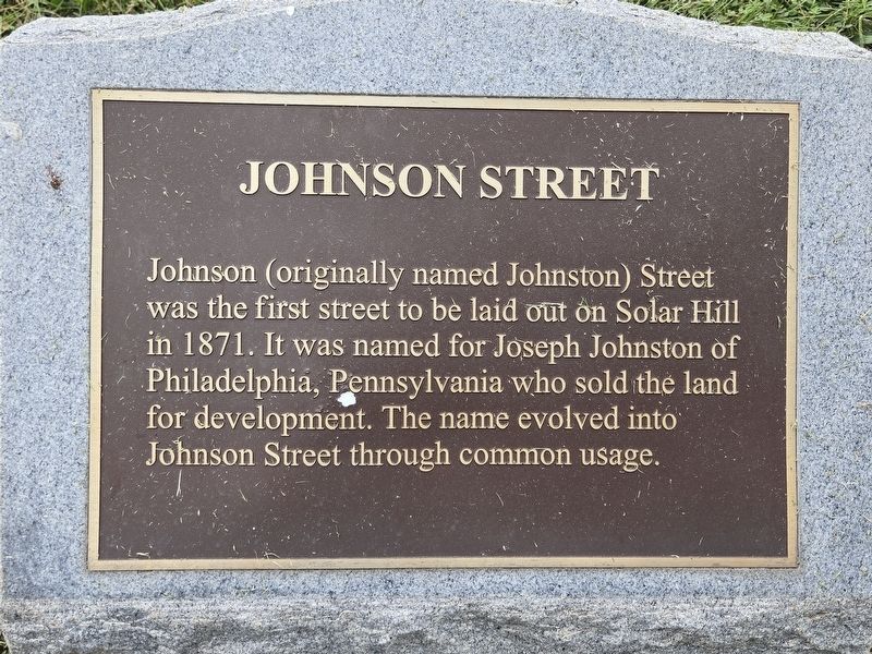
Photographed by Mark Parker, October 4, 2024
1. Johnson Street Marker
Topics. This historical marker is listed in these topic lists: Roads & Vehicles • Settlements & Settlers. A significant historical year for this entry is 1871.
Location. 36° 35.919′ N, 82° 11.038′ W. Marker is in Bristol, Virginia. It is on Johnson Street north of Sycamore Street, on the left when traveling north. The marker is at ground level above the retaining wall adjacent to the sidewalk. Touch for map. Marker is at or near this postal address: 214 Johnson St, Bristol VA 24201, United States of America. Touch for directions.

Regionally, this marker is in the Tri-Cities Area, in Southwest Virginia, and in the Blue Ridge Highlands. It is also in the American South, specifically in the Upper South, in Appalachia, and specifically in Southern Appalachia. Globally, it is in North America, the Western Hemisphere, the Western World, and the Anglosphere.
this page online
Other nearby markers. At least 8 other markers are within walking distance of this marker: The Sunrise House 1895 (a few steps from this marker); King's Alley/Sycamore Street (about 300 feet away, measured in a direct line); Solar Street (about 400 feet away); Scott Street - Servant's Row (about 500 feet away); Solar Observatory (about 500 feet away); Solar Hill (about 600 feet away); Emmanuel Episcopal Church (about 700 feet away); A Tribute to Sgt. Carl Lee Powers, A Korean War Veteran (about 800 feet away). Touch for a list and map of all markers in Bristol.
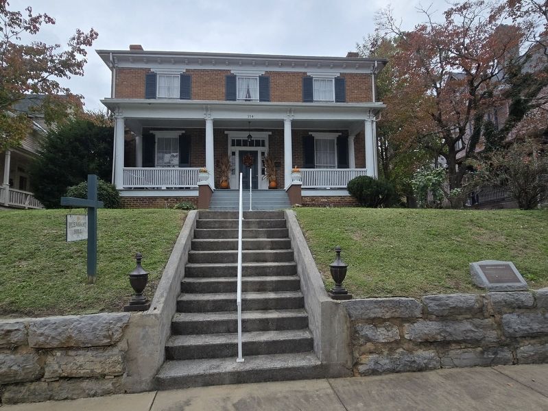
Photographed by Mark Parker, October 4, 2024
2. Full view of Johnson Street Marker with Pleasant Hill House in the background
Credits. This page was last revised on October 6, 2024. It was originally submitted on October 6, 2024, by Mark Parker of Hickory, North Carolina. This page has been viewed 249 times since then and 16 times this year. Photos: 1, 2. submitted on October 6, 2024, by Mark Parker of Hickory, North Carolina. • Bernard Fisher was the editor who published this page.
