
St. Charles in Kane County, Illinois — The American Midwest (Great Lakes)
St. Charles, Illinois
Destinations along the Lincoln Highway
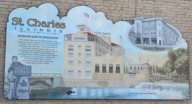
Photographed by Sean P. Flynn, October 1, 2024
1. St. Charles, Illinois Marker
Erected by Illinois Lincoln Highway Commission.
Topics and series. This historical marker is listed in these topic lists: Entertainment • Industry & Commerce • Roads & Vehicles. In addition, it is included in the Lincoln Highway series list.
Location. 41° 54.843′ N, 88° 18.749′ W. Marker is in St. Charles, Illinois, in Kane County. It is at the intersection of Riverside Avenue and Main Street (Illinois Route 64), on the right when traveling north on Riverside Avenue. The marker is affixed to the side of the building that houses Riverside Pizza & Pub. Touch for map. Marker
this page online

Regionally, this marker is in Greater Chicago. It is also in the American Midwest. Globally, it is in North America, on the Great Lakes, in the Western Hemisphere, in the Western World, and in the Anglosphere. Historically, it finds itself in what was once the territory of the Mississippian Culture and also the Northwest Territory.
Other nearby markers. At least 8 other markers are within walking distance of this marker: Historic St. Charles (within shouting distance of this marker); The Legend of Charlemagne (about 400 feet away, measured in a direct line); Wild Rose Farm Bell (about 400 feet away); Shelby School Bell (about 400 feet away); Founders Wall and Eastside Gardens (about 500 feet away); a different marker also named Historic St. Charles (about 800 feet away); Ēkwabet (approx. 0.2 miles away); The Pottawatomi (approx. 0.2 miles away). Touch for a list and map of all markers in St. Charles.
More about this marker. The Lincoln Highway does indeed go through St. Charles, although
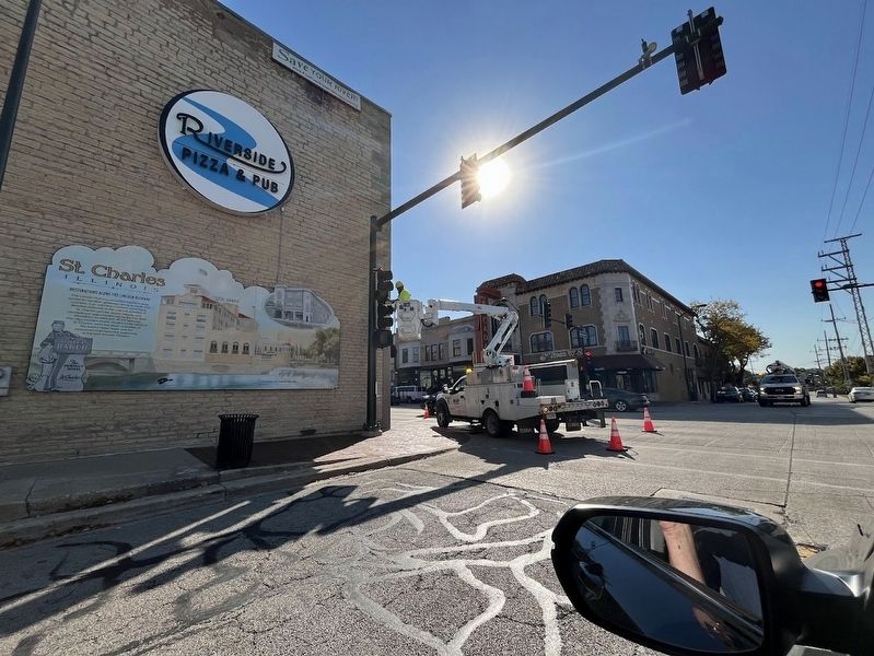
Photographed by Sean P. Flynn, October 1, 2024
2. St. Charles, Illinois Marker
Credits. This page was last revised on May 4, 2025. It was originally submitted on October 6, 2024, by Sean P. Flynn of Oak Park, Illinois. This page has been viewed 279 times since then and 24 times this year. Photos: 1, 2. submitted on October 6, 2024, by Sean P. Flynn of Oak Park, Illinois.
