Newtown in King and Queen County, Virginia — The American South (Mid-Atlantic)
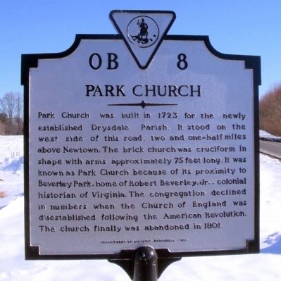
Park Church
Erected 1995 by Department of Historic Resources. (Marker Number OB-8.)
Topics and series. This historical marker is listed in these topic lists: Churches & Religion • Colonial Era. In addition, it is included in the Virginia Department of Historic Resources (DHR) series list. A significant historical year for this entry is 1723.
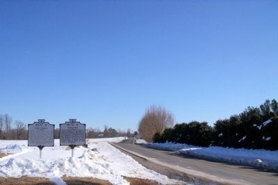
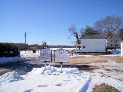
Location. 37° 54.814′ N, 77° 7.672′ W. Marker is in Newtown, Virginia, in King and Queen County. Marker is at the intersection of Newtown Road (Virginia Route 721) and Byrd's Mill Road (Virginia Route 625), on the right when traveling north on Newtown Road. Touch for map. Marker is in this post office area: Newtown VA 23126, United States of America. Touch for directions.
Other nearby markers. At least 8 other markers are within 11 miles of this marker, measured as the crow flies. Newtown (here, next to this marker); Donald Robertson’s School (approx. 2.6 miles away); Clark Home (approx. 8.7 miles away); Apple Tree Church (approx. 8.7 miles away); Cavalry Raids (approx. 9.1 miles away); Montville (approx. 9.8 miles away); Mount Pleasant (approx. 10˝ miles away); Mangohick Church (approx. 10.7 miles away).
Credits. This page was last revised on June 16, 2016. It was originally submitted on December 24, 2009, by Bernard Fisher of Richmond, Virginia. This page has been viewed 1,357 times since then and 27 times this year. Photos: 1, 2, 3. submitted on December 24, 2009, by Bernard Fisher of Richmond, Virginia.


