Crisfield in Somerset County, Maryland — The American Northeast (Mid-Atlantic)
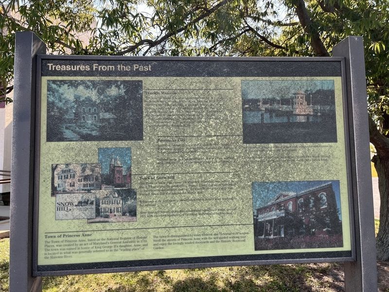
Treasures From The Past
Photographed by Devry Becker Jones (CC0), October 12, 2024
1. Treasures From The Past Marker
The marker has weathered significantly and is hard to read.
Teackle Mansion
The Teackle Mansion is an outstanding example of neoclassic architecture built between 1802 and 1819. The structure has many unique architectural features and houses a collection of 19th century furnishings. The mansion displays one of the finest examples of symmetry in Maryland. It was the home to Littleton Dennis Teackle, a prominent merchant and statesman. The mansion is located in the town of Princess Anne, near the headwaters of the Manokin River.
Pocomoke City
Settled in the late 1690s, it was named Steven's Ferry, Warehouse Landing, Meeting House Landing and Newtown before adopting Pocomoke City in 1878.
Located along the Pocomoke River, it was a vital sail and steamship building center. Shipbuilders took advantage of the extensive native stands of yellow pine, oak cedar and cypress in the manufacture of river and bay vessels.
A one-mile nature and exercise trail at Cypress Park winds through white cedar and cypress and circles the 8 acre Stevenson's Pond.
Town of Snow Hill
Town of Snow Hill The Town of Snow Hill, named for a suburb in London, was settled in the 1670s as a port for
this page online
Schooners were replaced by steamboats which in turn were replaced by the railroad.
More than 100 homes, along tree-shaded and brick-lined walks, pre-date 1875 with excellent examples of Victorian and colonial architecture.
Town of Princess Anne
The Town of Princess Anne, listed on the National Register of Historic Places, was created by an act of Maryland's General Assembly in 1733. The town was named in honor of King George II's daughter, Anne, and is located in what was generally referred to as the "wading place" of the Manokin River.
The town is distinguished by many Federal and Victorian style houses. Stroll the streets of Princess Anne with the self-guided walking tour and enjoy the lovingly tended dooryards and the Historic Boxwood Garden.
Topics. This historical marker is listed in these topic lists: Architecture • Colonial Era • Notable Places • Settlements & Settlers. A significant historical year for this entry is 1802.
Location. 37° 58.703′ N, 75° 51.584′ W.

Regionally, this marker is on the Eastern Shore. It is also in the American Mid-Atlantic, on the Delmarva Peninsula, in the Tidewater, in the Chesapeake Bay Region, and on the Eastern Seaboard. Globally, it is in the North Atlantic Region, North America, the Western Hemisphere, the Western World, and the Anglosphere. Historically, it finds itself in what was once one of the original Thirteen Colonies and also the Antebellum South.
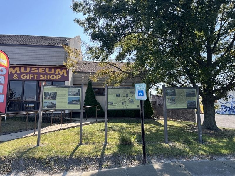
Other nearby markers. At least 8 other markers are within walking distance of this location: Beach to Bay Indian Trail (here, next to this marker); Chesapeake Treasures (here, next to this marker); Watermen of the Tangier Sound (within shouting distance of this marker); Drop Tongs (within shouting distance of this marker); Skipjacks and Bugeyes (within shouting distance of this marker); Oyster Dredges (within shouting distance of this marker); Hand Tongs (within shouting distance of this marker); Crab Shedding Float (within shouting distance of this marker). Touch for a list and map of all markers in Crisfield.
Credits. This page was last revised on October 13, 2024. It was originally submitted on October 13, 2024, by Devry Becker Jones of Washington, District of Columbia. This page has been viewed 157 times since then and 15 times this year. Photos: 1, 2. submitted on October 13, 2024, by Devry Becker Jones of Washington, District of Columbia.
