Mantasoa in Manjakandriana, Analamanga, Madagascar — Africa (Indian Ocean)
Mantasoa
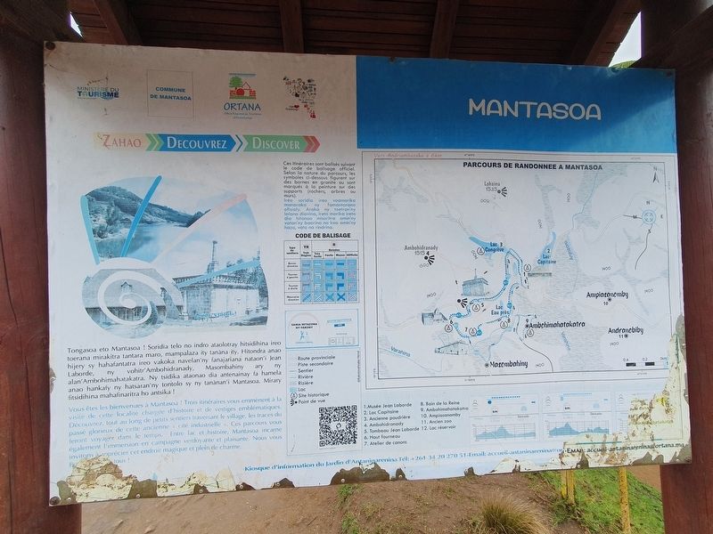
Photographed by J. Makali Bruton, September 6, 2024
1. Mantasoa Marker

Ireo soridia ireo voamarika manaraka ny famantarana ofisialy. Araka ny toetran'ny lalana diavina, ireto marika ireto dia hitanao misoritra amin'ny vatan'ny baorina na koa amin'ny hazo, vato na rindrina.
Vous êtes les bienvenues à Mantasoa ! Trois itinéraires vous emmènent à la visite de cette localité chargée d'histoire et de vestiges emblématiques. Découvrez, tout au long de petits sentiers traversant le village, les traces du passé glorieux de cette ancienne « cité industrielle ». Ces parcours vous feront voyager dans le temps. Entre lac et histoire, Mantasoa incarne également l'immersion en campagne verdoyante et plaisante. Nous vous invitons à apprécier
this page online
Ces itinéraires sont balisés suivant le code de balisage officiel. Selon la nature du parcours, les symboles ci-dessous figurent sur des bornes en granite ou sont marqués à la peinture sur des supports (rochers, arbres ου murs).
Welcome to Mantasoa! Three routes take you to visit this town full of history and emblematic remains. Discover, all along the small paths crossing the village, the traces of the glorious past of this former “industrial city". These routes will help take you back in time. Between the lake and history, Mantasoa embodies also the immersion in the green and pleasant countryside. We invite you to enjoy this magical and charming place. Welcome everyone!
These routes are marked as follows with the official markup code. Depending on the nature of the route, the symbols below are listed on granite bollards where they are marked with paint on supports (rocks, trees, walls etc.)
Topics. This historical marker is listed in these topic lists: Colonial Era • Industry & Commerce.
Location. 19° 0.574′ S,
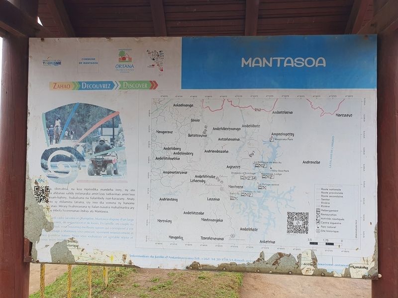
Photographed by J. Makali Bruton, September 6, 2024
2. Mantasoa Marker Reverse

Regionally, it is in Africa, specifically in Sub-Saharan Africa, in the Indian Ocean, at one of the Indian Ocean Islands and on the Swahili Coast. Historically, it finds itself in what was once a French colony.
Other nearby markers. At least 2 other markers are within walking distance of this marker: "Jean Laborde" Museum (within shouting distance of this marker); Soamandrakizay (approx. 0.4 kilometers away).
Also see . . . Former industrial site of Mantasoa at Wikipedia. (Submitted on October 17, 2024.)
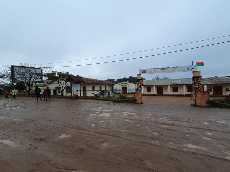
Photographed by J. Makali Bruton, September 6, 2024
3. Mantasoa Marker
Credits. This page was last revised on October 17, 2024. It was originally submitted on October 17, 2024, by J. Makali Bruton of Washington, District of Columbia. This page has been viewed 100 times since then and 15 times this year. Photos: 1, 2, 3. submitted on October 17, 2024, by J. Makali Bruton of Washington, District of Columbia.
