Walnut Grove in Sacramento County, California — The American West (Pacific Coastal)
Sacramento River Exploration
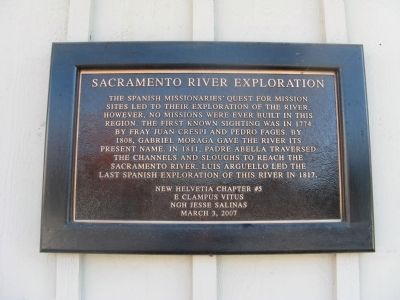
Photographed by Syd Whittle, December 23, 2009
1. Sacramento River Exploration Marker
Erected 2007 by New Helvetia Chapter #5, E Clampus Vitus.
Topics and series. This historical marker is listed in these topic lists: Exploration • Waterways & Vessels. In addition, it is included in the E Clampus Vitus series list. A significant historical month for this entry is March 1853.
Location. 38° 14.518′ N, 121° 30.821′ W. Marker is in Walnut Grove, California, in Sacramento County. It is on Market Street near Bridge Street, on the right when traveling north. Touch for map. Marker is at or near this postal address: 14157 Market Street, Walnut Grove CA 95690, United States of America. Touch for directions.

Regionally, this marker is in California’s Sacramento Metro, in the Sacramento
this page online
Other nearby markers. At least 8 other markers are within walking distance of this marker: Boon-Dox Botel (about 400 feet away, measured in a direct line); Ike's Cafe and Stage Depot - 1916 (about 400 feet away); Delta Transmission Towers/Delta Cross Channel Gates (approx. 0.4 miles away); Charles “Chuck” Tison (approx. 0.4 miles away); Walnut Grove, Est. 1850/Locke, Est. 1915 (approx. 0.4 miles away); Locke (approx. 0.6 miles away); Locke, California (approx. 0.6 miles away); Al the Wop's / Bing Lee's Noodle House (approx. 0.6 miles away). Touch for a list and map of all markers in Walnut Grove.
More about this marker. The marker is mounted on the Tony's Place Restaurant building that sits at the intersection of Market and Bridge Streets.
Regarding Sacramento River Exploration. From
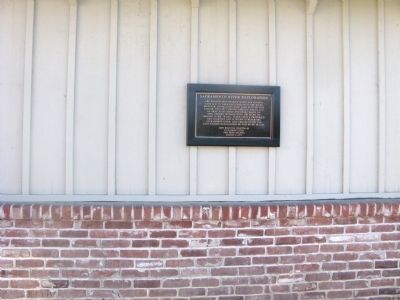
Photographed by Syd Whittle, December 23, 2009
2. Sacramento River Exploration Marker
1808 - Lieutenant Gabriel Moraga and Spanish soldiers from Mission San Jose are the first Europeans to enter the Sacramento Valley. They discover the two rivers (the Sacramento and American) which they name the "Jesus Maria" and the "Sacramento."
Also see . . .
1. "California - Romantic and Resourceful" by John F. Davis (1914). Text and illustrations (Submitted on December 26, 2009, by Syd Whittle of Mesa, Arizona.)
2. Pedro Fages. Military Governor of Alta California from 1770-1774 and again 1782 – 1791. He also served with Portola during the Portola Expedition of 1769. (Submitted on December 26, 2009, by Syd Whittle of Mesa, Arizona.)
3. Fray Juan Crespi. This Find-A-Grave post shows his burial site at the Mission Carmel as well as giving a short biography with emphasis on his contributions to early California history. (Submitted on December 26, 2009, by Syd Whittle of Mesa, Arizona.)
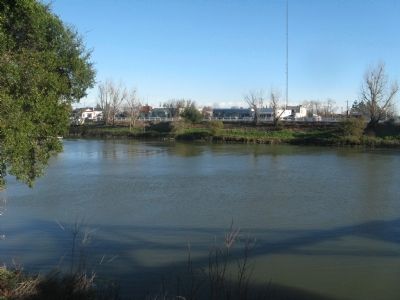
Photographed by Syd Whittle, December 23, 2009
3. The Sacramento River
The town of Walnut Grove is seen across the River.
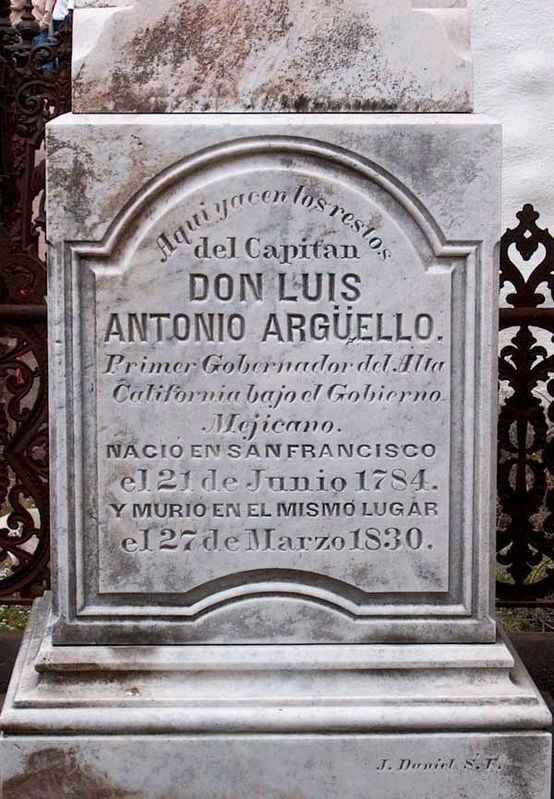
Photographed by Larry Gertner
4. Don Luis Arguello tombstone
Credits. This page was last revised on April 28, 2021. It was originally submitted on December 26, 2009, by Syd Whittle of Mesa, Arizona. This page has been viewed 3,571 times since then and 39 times this year. Photos: 1, 2, 3. submitted on December 26, 2009, by Syd Whittle of Mesa, Arizona. 4. submitted on December 31, 2020, by Larry Gertner of New York, New York.
