Milford in Otsego County, New York — The American Northeast (Mid-Atlantic)
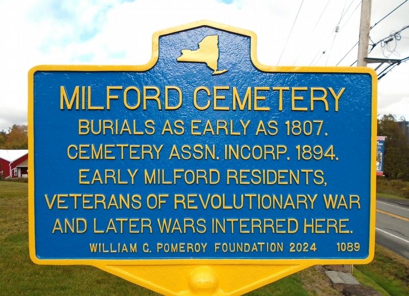
Milford Cemetery
Photographed by William Fischer, Jr., October 16, 2024
1. Milford Cemetery Marker
Cemetery Assn. incorp. 1894.
Early Milford residents,
veterans of Revolutionary War
and later wars interred here.
Erected 2024 by William G. Pomeroy Foundation. (Marker Number 1089.)
Topics and series. This historical marker is listed in these topic lists: Cemeteries & Burial Sites • Patriots & Patriotism. In addition, it is included in the William G. Pomeroy Foundation series list. A significant historical year for this entry is 1807.
Location. 42° 35.525′ N, 74° 56.695′ W. Marker is in Milford, New York, in Otsego County. It is on North Main Street (New York State Route 28) north of East Main Street ( Route 166), on the left when traveling north. Touch for map. Marker is at or near this postal address: 89 North Main Street, Milford NY 13807, United States of America. Touch for directions.

Regionally, this marker is in Upstate New York and in the Mohawk Valley. It is also in the American Northeast, in the Mid-Atlantic, in Appalachia, and specifically in Northern Appalachia. Globally, it is in North America, the Western Hemisphere, the Western World, and the Anglosphere.
this page online
Other nearby markers. At least 8 other markers are within 7 miles of this marker, measured as the crow flies: World War II Memorial (a few steps from this marker); World War Memorial (a few steps from this marker); Hartwick Seminary (approx. 3.7 miles away); Seminary Church (approx. 3.8 miles away); Welcome to Hartwick Seminary (approx. 4.6 miles away); Abner Adams (approx. 5.2 miles away); Colliersville Dam (approx. 6½ miles away); Town of Maryland Civil War Memorial (approx. 6.7 miles away). Touch for a list and map of all markers in Milford.
Also see . . . Milford Cemetery at Find A Grave. (Submitted on October 18, 2024, by William Fischer, Jr. of Reynoldsburg, Ohio.)
Photographed by William Fischer, Jr., October 16, 2024
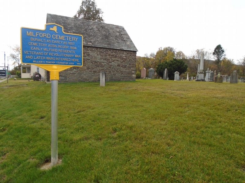
2. Milford Cemetery and Marker
Credits. This page was last revised on October 18, 2024. It was originally submitted on October 18, 2024, by William Fischer, Jr. of Reynoldsburg, Ohio. This page has been viewed 238 times since then and 42 times this year. Photos: 1, 2. submitted on October 18, 2024, by William Fischer, Jr. of Reynoldsburg, Ohio.
