Niles in Berrien County, Michigan — The American Midwest (Great Lakes)
Niles Community
Trail History
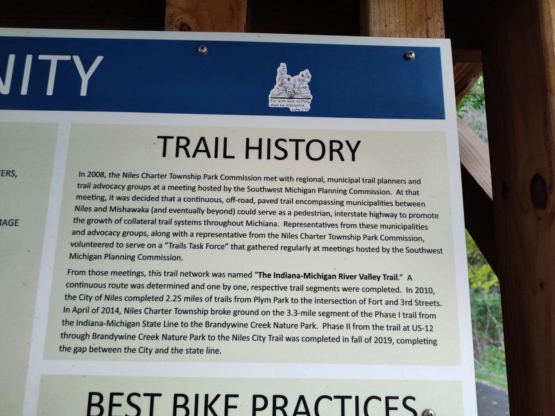
Photographed by Craig Doda, October 12, 2024
1. Niles Community Marker
From those meetings, this trail network was named "The Indiana-Michigan River Valley Trail." A continuous route was determined and one by one, respective trail segments were completed. In 2010, the City of Niles completed 2.25 miles of trails from Plym Park to the intersection of Fort and 3rd Streets. In April of 2014, Niles Charter Township broke ground on the 3.3-mile segment of the Phase I trail
this page online
Topics. This historical marker is listed in this topic list: Parks & Recreational Areas. A significant historical month for this entry is April 2014.
Location. 41° 48.762′ N, 86° 15.269′ W. Marker is in Niles, Michigan, in Berrien County. It is at the intersection of Fort Street and South 3rd Street when traveling west on Fort Street. Touch for map. Marker is at or near this postal address: 290 Fort St, Niles MI 49120, United States of America. Touch for directions.

Regionally, this marker is in Southwest Michigan and specifically in one of the Lake Michigan Shore counties. It is also in the American Midwest. Globally, it is in North America, on the Great Lakes, in the Western Hemisphere, in the Western World, and in the Anglosphere. Historically, it finds itself in what was once the Viceroyalty of New France and also the Northwest Territory.
Other nearby markers. At least 8 other
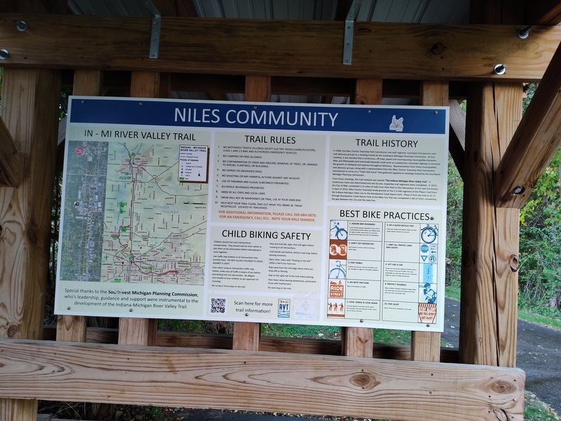
Photographed by Craig Doda, October 12, 2024
2. Niles Community Marker
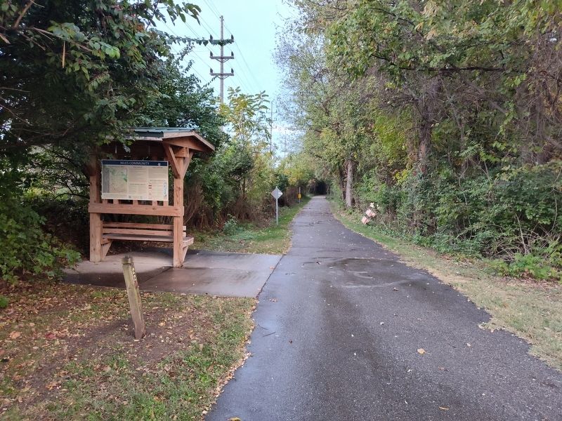
Photographed by Craig Doda, October 12, 2024
3. Niles Community Marker
Credits. This page was last revised on October 19, 2024. It was originally submitted on October 18, 2024, by Craig Doda of Napoleon, Ohio. This page has been viewed 247 times since then and 33 times this year. Photos: 1, 2, 3. submitted on October 18, 2024, by Craig Doda of Napoleon, Ohio. • J. Makali Bruton was the editor who published this page.
