
Oliver Springs in Roane County, Tennessee — The American South (East South Central)
The Rose Terrace House
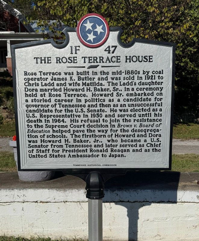
Photographed by David Rozzelle
1. The Rose Terrace House Marker
Erected by Tennessee Historical Commission. (Marker Number 1F47.)
Topics. This historical marker is listed in this topic list: Civil Rights. A significant historical year for this entry is 1921.
Location. 36° 2.759′ N, 84° 20.452′ W. Marker is in Oliver Springs, Tennessee, in Roane County. It is at the intersection of Main
this page online

Regionally, this marker is in East Tennessee and in Greater Knoxville. It is also in the American South, specifically in the Upper South, in Appalachia, and specifically in Southern Appalachia. Globally, it is in North America, the Western Hemisphere, the Western World, and the Anglosphere. Historically, it finds itself in what was once the original Cherokee Nation, the territory of the Mississippian Culture, one of the Confederate States of America, and the Antebellum South.
Other nearby markers. At least 8 other markers are within 5 miles of this marker, measured as the crow flies: Ticket Booth (approx. ¼ mile away); Southern Railroad X574 (approx. ¼ mile away); Guerillas and Foragers (approx. ¼ mile away); O.S. Engine #2 (approx. ¼ mile away); L&N Cowcreel Branch (approx. ¼ mile away); Oak Ridge Schools (approx. 4.2 miles away); The Robertsville Community (approx. 4.3 miles away); First Integrated Public Schools in the Southeast
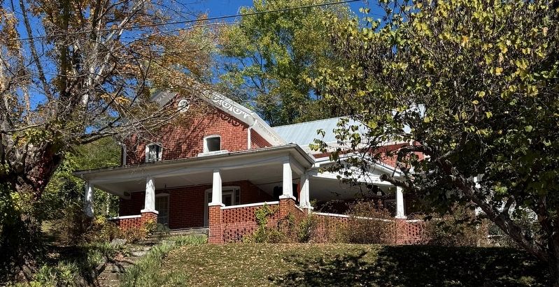
Photographed by David Rozzelle, October 18, 2024
2. The Rose Terrace House Marker
Credits. This page was last revised on October 21, 2024. It was originally submitted on October 18, 2024, by David Rozzelle of Knoxville, Tennessee. This page has been viewed 289 times since then and 30 times this year. Photos: 1, 2. submitted on October 18, 2024, by David Rozzelle of Knoxville, Tennessee. • James Hulse was the editor who published this page.
