
Whitby in Durham Region, Ontario — Central Canada (North America)
Almond Village Commemorative Site
Photographed by Tim Boyd, October 3, 2024
1. Almond Village Commemorative Site Marker
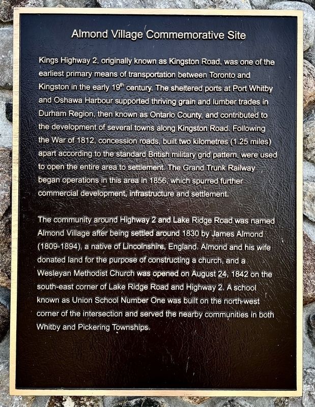
Kings Highway 2, originally known as Kingston Road, was one of the earliest primary means of transportation between Toronto and Kingston in the early 19th century. The sheltered ports at Port Whitby and Oshawa Harbour supported thriving grain and lumber trades in Durham Region, then known as Ontario County, and contributed to the development of several towns along Kingston Road. Following the War of 1812, concession roads, built two kilometres (1.25 miles) apart according to the standard British military grid pattern, were used to open the entire area to settlement. The Grand Trunk Railway began operations in this area in 1856, which spurred further commercial development, infrastructure and settlement.
The community around Highway 2 and Lake Ridge Road was named Almond Village after being settled around 1830 by James Almond (1809-1894), a native of Lincolnshire, England. Almond and his wife donated land for the purpose of constructing a church, and a Wesleyan Methodist Church was opened on August 24, 1842 on the south-east corner of Lake Ridge Road and Highway 2. A school known as Union School Number One was built
this page online
Topics. This historical marker is listed in these topic lists: Roads & Vehicles • Settlements & Settlers. A significant historical year for this entry is 1830.
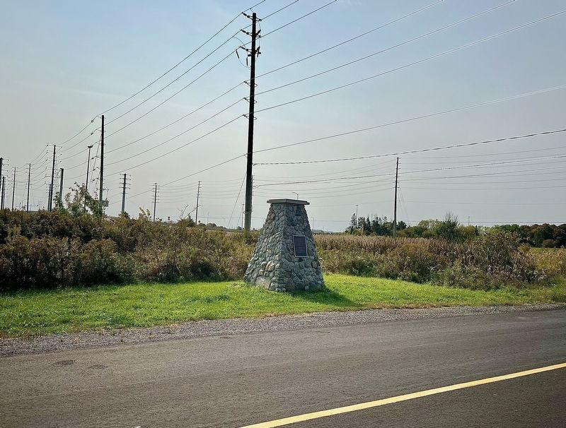
Location. 43° 51.922′ N, 78° 59.039′ W. Marker is in Whitby, Ontario, in Durham Region. It is on Old Lake Ridge Road half a kilometer Kingston Road (Durham Road 2), on the right when traveling south. Touch for map. Marker is at or near this postal address: 69 Old Lake Ridge Road, Whitby ON L1P 1J9, Canada. Touch for directions.

Regionally, this marker is in Greater Toronto, specifically on the Golden Horseshoe, in the York, Durham and Headwaters Area, and in the Toronto Metropolitan Area. It is also in Central Canada. Globally, it is in North America, on the Great Lakes, in the Western Hemisphere, in the Western World, and in the Anglosphere. Historically, it finds itself in what was once a British colony, the Viceroyalty of New France, the Haudenosaunee (Iroquois) Confederacy, and Rupert’s Land.
Other nearby markers. At least 8 other
Photographed by Tim Boyd, October 3, 2024
2. Almond Village Commemorative Site Marker
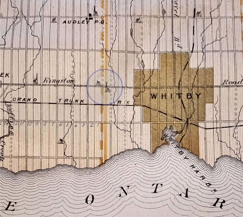
3. Area of Almond Village highlighted on an 1878 map of Ontario County
Credits. This page was last revised on March 20, 2025. It was originally submitted on October 20, 2024, by Tim Boyd of Hamilton, Ontario. This page has been viewed 516 times since then and 52 times this year. Photos: 1, 2, 3. submitted on October 20, 2024, by Tim Boyd of Hamilton, Ontario. • Andrew Ruppenstein was the editor who published this page.
