Near Norris in Anderson County, Tennessee — The American South (East South Central)
The Caleb Crosby Threshing Barn
Photographed by Tom Bosse, October 18, 2024
1. The Caleb Crosby Threshing Barn Marker
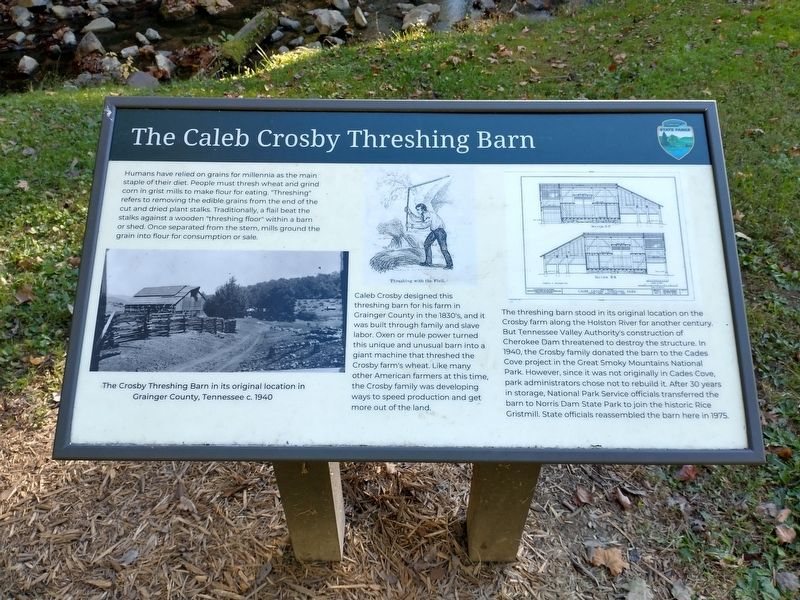
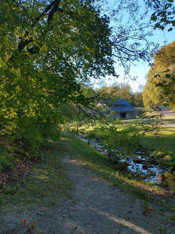
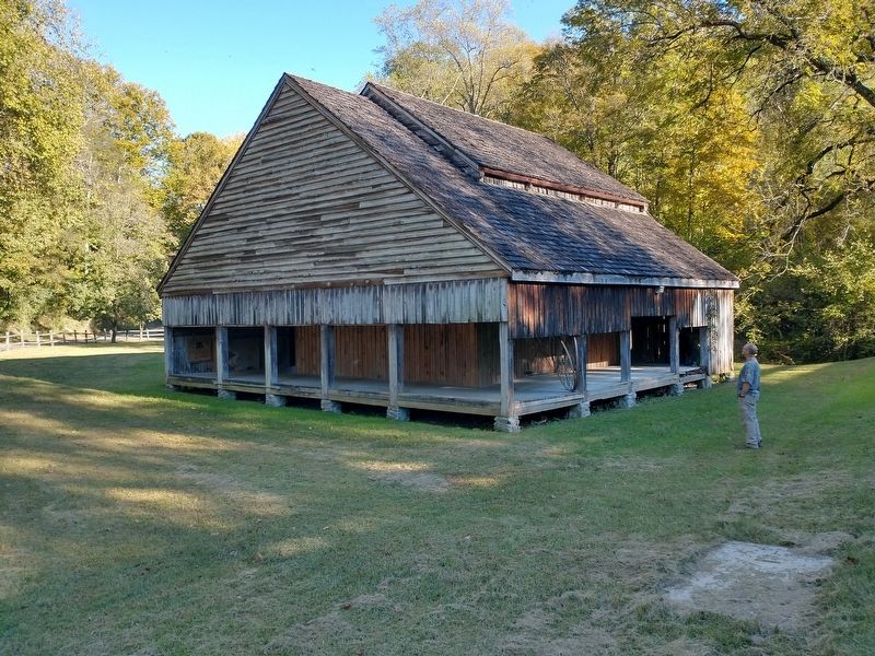
Caleb Crosby designed this threshing barn for his farm in Grainger County in the 1830's, and it was built through family and slave labor. Oxen or mule power turned this unique and unusual barn into a giant machine that threshed the Crosby farm's wheat. Like many other American farmers at this time, the Crosby family was developing ways to speed production and get more out of the land.
The threshing barn stood in its original location on the Crosby farm along the Holston River for another century. But Tennessee Valley Authority's construction of Cherokee Dam threatened to destroy the structure. In 1940, the Crosby family donated the barn to the Cades Cove project in the Great Smoky
this page online
[Caption #1]:
The Crosby Threshing Barn in its original location in Grainger County, Tennessee c. 1940
[Caption #2]: Thrashing with the Flail
Erected by Tennessee State Parks.
Topics. This historical marker is listed in this topic list: Agriculture. A significant historical year for this entry is 1940.
Location. 36° 12.789′ N, 84° 4.366′ W. Marker is near Norris, Tennessee, in Anderson County. It is on Lower Clear Creek Road east of U.S. 441, on the right when traveling east. Marker is located within Norris Dam State Park. Touch for map. Marker is at or near this postal address: 495 Lower Clear Creek Rd, Norris TN 37828, United States of America. Touch for directions.

Regionally, this marker is in East Tennessee and in Greater Knoxville. It is also in the American South, specifically in the Upper South, in Appalachia,

Photographed by Tom Bosse, October 18, 2024
2. The Caleb Crosby Threshing Barn Marker
Other nearby markers. At least 8 other markers are within 5 miles of this marker, measured as the crow flies: Rice 18th Century Grist Mill (here, next to this marker); Caleb Crosby Trashing Barn (here, next to this marker); Trigonia Elm (within shouting distance of this marker); Civil War in Anderson County (about 400 feet away, measured in a direct line); Norris Dam (approx. 1.2 miles away); The Tennessee Valley Authority (approx. 1.2 miles away); The TVA System of Multi-Purpose Dams (approx. 1.4 miles away); Dean Dillon (approx. 4.7 miles away). Touch for a list and map of all markers in Norris.
Photographed by Tom Bosse, October 18, 2024
3. The Caleb Crosby Threshing Barn
Photographed by Tom Bosse, October 18, 2024
4. The Caleb Crosby Threshing Barn
Credits. This page was last revised on October 21, 2024. It was originally submitted on October 20, 2024, by Tom Bosse of Jefferson City, Tennessee. This page has been viewed 360 times since then and 92 times this year. Photos: 1, 2, 3, 4. submitted on October 20, 2024, by Tom Bosse of Jefferson City, Tennessee. • James Hulse was the editor who published this page.
