
Cumberland Township in Round Top in Adams County, Pennsylvania — The American Northeast (Mid-Atlantic)
July 2, 1863
Gettysburg National Military Park
Photographed by Bill Coughlin, October 17, 2024
1. July 2, 1863 Marker
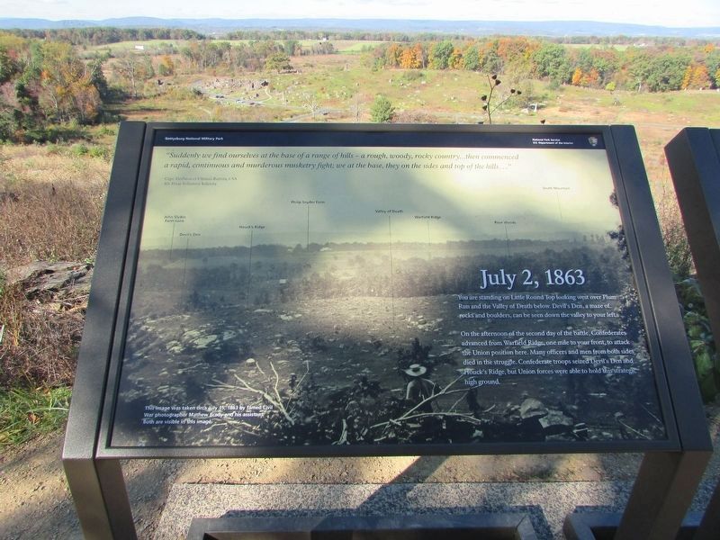
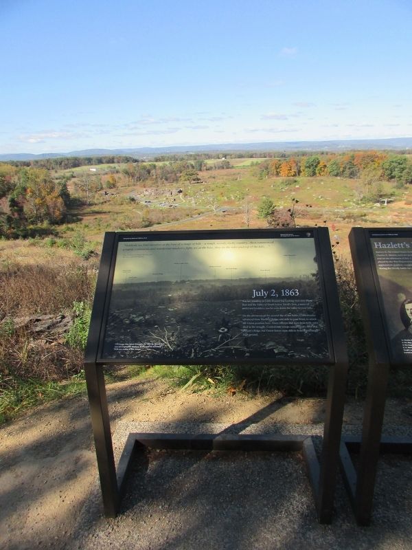
You are standing on Little Round Top looking west over Plum Run and the Valley of Death below. Devil's Den, a maze of rocks and boulders, can be seen down the valley to your left.
On the afternoon of the second day of the battle, Confederates advanced from Warfield Ridge, one mile to your front, to attack the Union position here. Many officers and men from both sides died in the struggle. Confederate troops seized Devil's Den and Houck's Ridge, but Union forces were able to hold this strategic high ground.
"Suddenly we find ourselves at the base of a range of hills - a rough, woody, rocky country . . . then commenced a rapid, continuous and murderous musketry fight; we at the base, they on the sides and top of the hills . . ."
Capt. Decimus et Ultimus Barziza, CSA
4th Texas Volunteer Infantry
Erected by Gettysburg National Military Park.
Topics. This historical marker is listed in this topic list: War, US Civil. A significant historical date for this entry is July 2, 1863.
Location. 39° 47.544′ N, 77° 14.203′ W. Marker is in Round Top, Pennsylvania, in Adams County. It is in Cumberland Township. It can be reached from Sykes Avenue,
this page online

Regionally, this marker is in South-Central Pennsylvania. It is also in the American Northeast, in the Mid-Atlantic, in Appalachia, and specifically in Northern Appalachia. Globally, it is in North America, the Western Hemisphere, the Western World, and the Anglosphere. Historically, it finds itself in what was once the Haudenosaunee (Iroquois) Confederacy and also one of the original Thirteen Colonies.
Other nearby markers. At least 8 other markers are within walking distance of this marker: Hazlett's Battery (here, next to this marker); The Eye of General Warren (a few steps from this marker); Warren (a few steps from this marker); The Union Fishhook (a few steps from this marker); Signal Corps U.S.A. (a few steps from this marker); The Valley of Death (within shouting distance of this marker); 91st Pennsylvania Infantry (within shouting distance of this marker); C. E. Hazlett (within shouting distance of this marker).
Photographed by Bill Coughlin, October 17, 2024
2. July 2, 1863 Marker
Other markers no longer nearby. The Eye of General Warren (was a few steps from this marker but has been confirmed missing); a different marker also named The Union Fishhook (was a few steps from this marker but has been permanently removed).
More about this marker. The background of the marker contains a 1863 photograph of the view from the marker. Landmarks indicated on the photograph include the John Slyder Farm Lane, Devil's Den, Houck's Ridge, Philip Snyder Farm, Valley of Death, Warfield Ridge and Rose Woods. The caption reads "This image was taken circa July 15, 1863 by famed Civil War photographer Matthew Brady and his assistant. Both are visible in this image."
Photographed by Bill Coughlin, October 17, 2024
3. Marker on Little Round Top
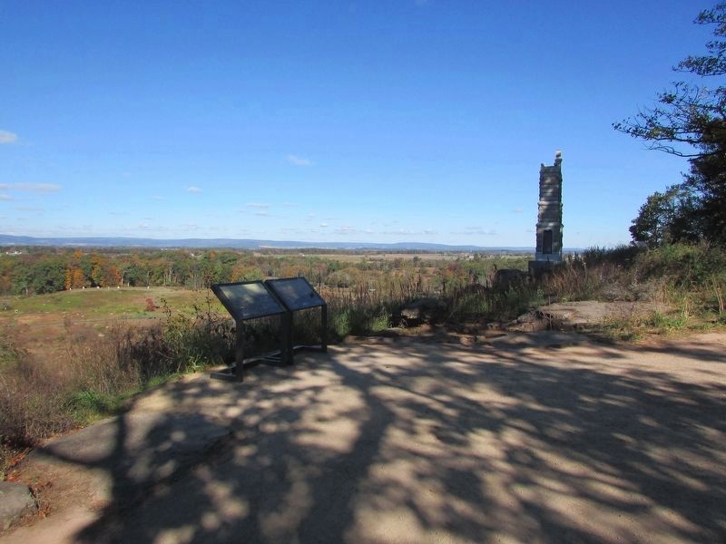
Two markers are found at this location. The July 2, 1863 marker is seen on the left.
Credits. This page was last revised on May 22, 2025. It was originally submitted on October 22, 2024, by Bill Coughlin of Woodland Park, New Jersey. This page has been viewed 270 times since then and 30 times this year. Photos: 1, 2, 3. submitted on October 22, 2024, by Bill Coughlin of Woodland Park, New Jersey.
