Georgetown in Williamson County, Texas — The American South (West South Central)
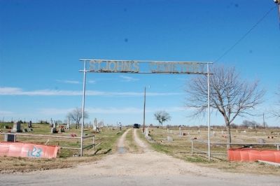
St. Johnís Cemetery
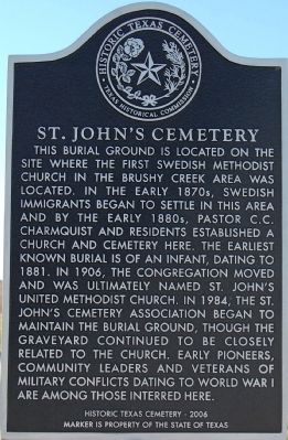
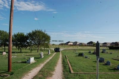
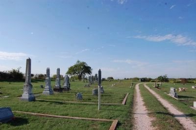
This burial ground is located on the site where the first Swedish Methodist church in the Brushy Creek area was located. In the early 1870s, Swedish immigrants began to settle in this area and by the early 1880s, Pastor C.C. Charmquist and residents established a church and cemetery here. The earliest known burial is of an infant, dating to 1881. In 1906, the congregation moved and was ultimately named St. Johnís United Methodist Church. In 1984, the St. Johnís Cemetery Association began to maintain the burial ground, though the graveyard continued to be closely related to the church. Early pioneers, community leaders and veterans of military conflicts dating to World War I are among those interred here.
Historic Texas Cemetery - 2006
Erected 2006 by Texas Historical Commission. (Marker Number 15064.)
Topics. This historical marker is listed in this topic list: Cemeteries & Burial Sites. A significant historical year for this entry is 1881.
Location. 30° 35.278′ N, 97° 39.548′ W. Marker is in Georgetown, Texas, in Williamson County. Marker can be reached from the intersection of County Road 111 and Farm to Market Road (Route 1460). Touch for map. Marker is in this post office area: Round Rock TX 78665, United States of America. Touch for directions.
Other nearby markers. At least 8 other markers are within 4 miles of this marker, measured as the crow flies. Inner Space Cavern (approx. 2.2 miles away); William Cornelius Dalrymple (approx. 2.7 miles away); John McQueen Taylor (approx. 2.8 miles away); Judge Harry N. Graves (approx. 3 miles away); Amos-Godbey House (approx. 3 miles away); Easley Home (approx. 3.1 miles away); A. W. Sillure House (approx. 3.1 miles away); Page-Decrow-Weir House (approx. 3.1 miles away). Touch for a list and map of all markers in Georgetown.
Credits. This page was last revised on November 29, 2020. It was originally submitted on December 28, 2009, by Keith Peterson of Cedar Park, Texas. This page has been viewed 1,144 times since then and 49 times this year. Photos: 1. submitted on December 28, 2009, by Keith Peterson of Cedar Park, Texas. 2, 3. submitted on October 12, 2013, by Keith Peterson of Cedar Park, Texas. 4. submitted on December 28, 2009, by Keith Peterson of Cedar Park, Texas. • Syd Whittle was the editor who published this page.


