Bellwood in Blair County, Pennsylvania — The American Northeast (Mid-Atlantic)
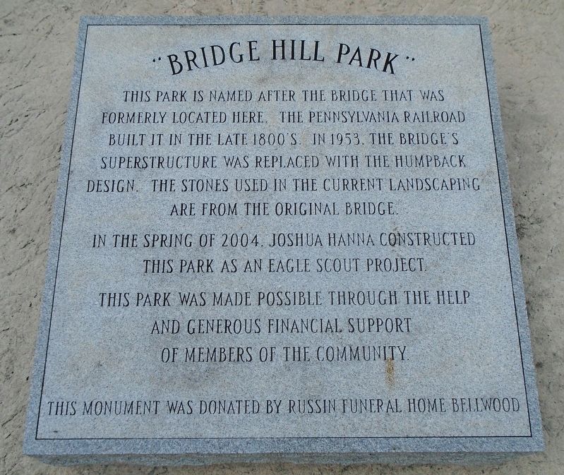
"Bridge Hill Park"
Photographed by William Fischer, Jr., October 25, 2024
1. "Bridge Hill Park" Marker
In the spring of 2004. Joshua Hanna constructed this park as an Eagle Scout Project.
This park was made possible through the help and generous financial support of members of the community.
This monument was donated by Russin Funeral Home Bellwood.
Erected 2004 by Joshua Hanna, Russin Funeral Home, and Concerned Citizens and Organizations.
Topics. This historical marker is listed in these topic lists: Bridges & Viaducts • Charity & Public Work • Parks & Recreational Areas. A significant historical year for this entry is 1953.
Location. 40° 36.029′ N, 78° 19.992′ W. Marker is in Bellwood, Pennsylvania, in Blair County. It is at the intersection of Main Street and Cambria Street, on the right when traveling south on Main Street. Touch for map. Marker is at or near this postal address: 500 Main Street, Bellwood PA 16617, United States
this page online

Regionally, this marker is in the American Northeast, in the Mid-Atlantic, in Appalachia, and specifically in Northern Appalachia. Globally, it is in North America, the Western Hemisphere, the Western World, and the Anglosphere. Historically, it finds itself in what was once the Haudenosaunee (Iroquois) Confederacy and also one of the original Thirteen Colonies.
Other nearby markers. At least 8 other markers are within 4 miles of this marker, measured as the crow flies: Veterans Memorial (within shouting distance of this marker); War Memorial (within shouting distance of this marker); Sgt. William S. Sitman (within shouting distance of this marker); Miss R Track Dedication (approx. half a mile away); a different marker also named War Memorial (approx. half a mile away); a different marker also named War Memorial (approx. 0.6 miles away); Fort Roberdeau (approx. 1.2 miles away); Conestoga Wagon & Pennsylvania Barn (approx. 3.3 miles away). Touch for a list and map of all markers in Bellwood.
Also see . . . Dismantling the Old "Bridge Hill".
Photographed by William Fischer, Jr., October 25, 2024
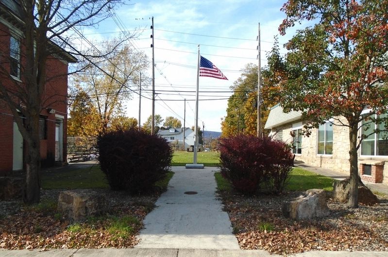
2. "Bridge Hill Park" and Marker
Credits. This page was last revised on October 25, 2024. It was originally submitted on October 25, 2024, by William Fischer, Jr. of Reynoldsburg, Ohio. This page has been viewed 185 times since then and 32 times this year. Photos: 1, 2. submitted on October 25, 2024, by William Fischer, Jr. of Reynoldsburg, Ohio.
