Thomaston in Knox County, Maine — The American Northeast (New England)
Sails to Catch the Wind
Thomaston, Maine
| — | The Museum in the Streets | — |
Photographed by Darren Jefferson Clay, October 15, 2024
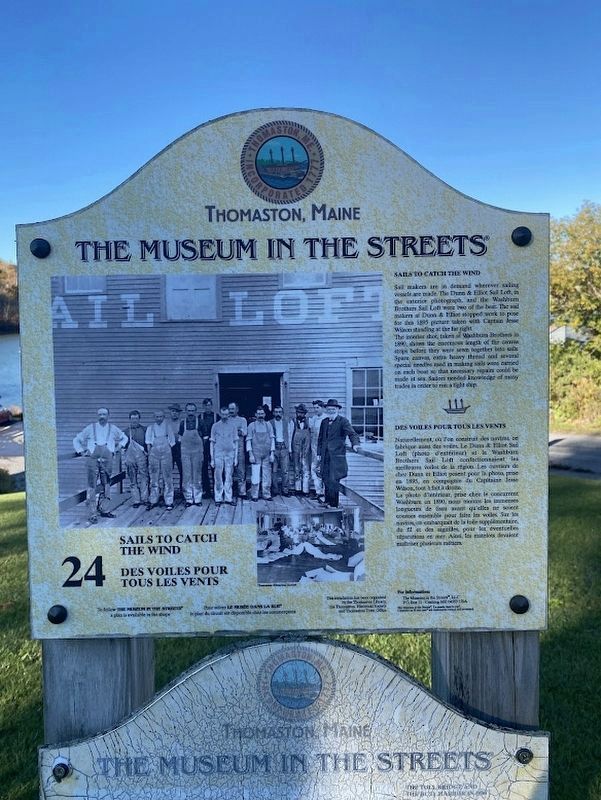
1. Sails to Catch the Wind Marker
Sails to Catch the Wind
Sail makers are in demand wherever sailing vessels are made. The Dunn & Elliot Sail Loft, in the exterior photograph, and the Washburn Brothers Sail Loft were two of the best. The sail makers at Dunn & Elliot stopped work to pose for this 1895 picture taken with Captain Jesse Wilson standing at the far right.
The interior shot, taken at Washburn Brothers in 1890, shows the enormous length of the canvas strips before they were sewn together into sails. Spare canvas, extra heavy thread and several special needles used in making sails were carried on each boat so that necessary repairs could be made at sea. Sailors needed knowledge of many trades in order to run a tight ship.
Des voiles pour tous les vents
Naturellement, où l'on construit des navires, on fabrique aussi des voiles. Le Dunn & Elliot Sail Loft (photo d'extérieur) et le Washburn Brothers Sail Loft confectionnaient les meilleures voiles de la région. Les ouvriers de chez Dunn et Elliot posent pour la photo, prise en 1895, en compagnie du Capitaine Jesse Wilson, tout à fait à droite La photo d'intérieur, prise chez le concurrent Washburn
this page online
Erected by The Museum in the Streets. (Marker Number 24.)
Topics. This historical marker is listed in these topic lists: Industry & Commerce • Waterways & Vessels.
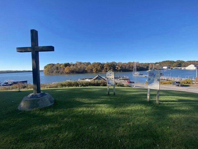
Location. 44° 4.338′ N, 69° 10.93′ W. Marker is in Thomaston, Maine, in Knox County. It is on Water Street near Public Landing, on the right when traveling east. Touch for map. Marker is in this post office area: Thomaston ME 04861, United States of America. Touch for directions.

Regionally, this marker is in Midcoast Maine and on Penobscot Bay. It is also in the American Northeast, in New England, and on the Eastern Seaboard. Globally, it is in the North Atlantic Region, North America, the Western Hemisphere, the Western World, and the Anglosphere.
Other nearby markers. At least 8 other markers are within
Photographed by Darren Jefferson Clay, October 15, 2024
2. Sails to Catch the Wind Marker
Credits. This page was last revised on October 31, 2024. It was originally submitted on October 26, 2024, by Darren Jefferson Clay of Duluth, Georgia. This page has been viewed 115 times since then and 11 times this year. Photos: 1, 2. submitted on October 26, 2024, by Darren Jefferson Clay of Duluth, Georgia. • Michael Herrick was the editor who published this page.
