Thomaston in Knox County, Maine — The American Northeast (New England)
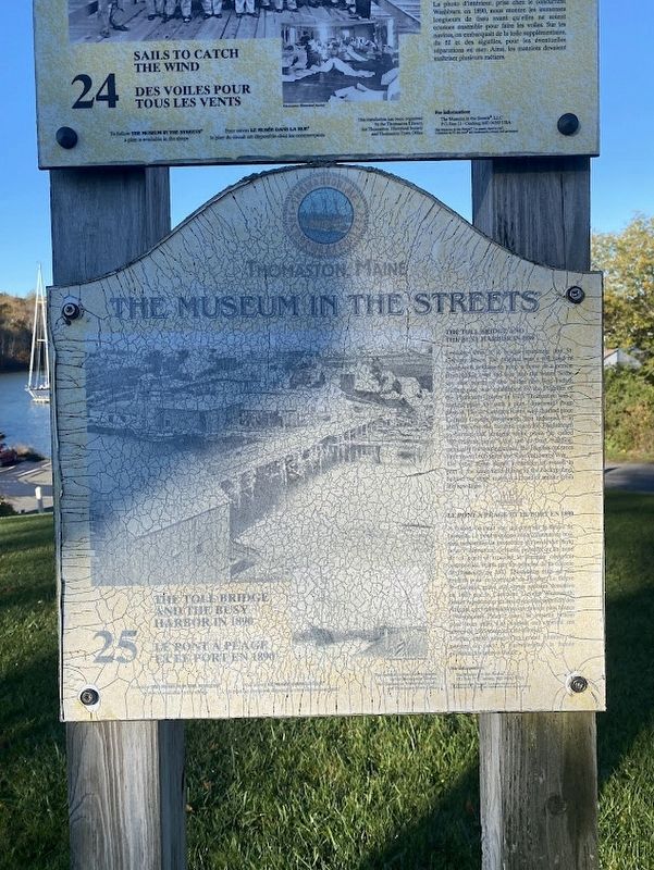
The Toll Bridge and the Busy Harbor in 1890
Thomaston, Maine
| — | The Museum in the Streets | — |
Photographed by Darren Jefferson Clay, October 15, 2024
1. The Toll Bridge and the Busy Harbor in 1890 marker
Looking west is a bridge spanning the St. Georges River. The original was a toll road of wood with nothing to keep a horse or a person from falling over the side into the water. Some say that north of the bridge the first Indian trading post was established by the Pilgrims of the Plymouth Colony in 1623. Thomaston was a natural place for such a post downeast from Boston. The St. Georges River well charted since Captain George Weymouth first explored it in 1605, became the favorite place for Englishmen to harvest tall, straight white pines [indecipherable] called "Weymouth pines" for use in boat building, especially for making masts. The English cut trees here around 1605 until the Revolutionary War. The other scene shows a number of vessels in port at the same time. Rising in the background behind the ships' masts is a cloud of smoke from the limekilns.
Erected by The Museum in the Streets. (Marker Number 25.)
Topics. This historical marker is listed in these topic lists: Industry & Commerce • Waterways & Vessels.
Location. 44° 4.338′ N, 69° 10.93′ W. Marker
this page online

Regionally, this marker is in Midcoast Maine and on Penobscot Bay. It is also in the American Northeast, in New England, and on the Eastern Seaboard. Globally, it is in the North Atlantic Region, North America, the Western Hemisphere, the Western World, and the Anglosphere.
Other nearby markers. At least 8 other markers are within walking distance of this marker: Sails to Catch the Wind (here, next to this marker); The Town that Went to Sea / "La Ville Tournée vers la mer" (here, next to this marker); Burning Lime (here, next to this marker); Captain George Waymouth's Landing (here, next to this marker); Montpelier (about 700 feet away, measured in a direct line); One of the original buildings of the Knox Estate (about 700 feet away); An Overlock House (approx. 0.2 miles away); The Wealthiest Man in Town (approx. 0.3 miles away). Touch for a list and map of all markers in Thomaston.
Photographed by Darren Jefferson Clay, October 15, 2024
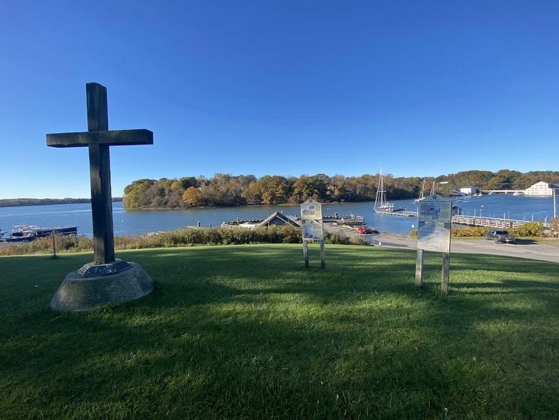
2. The Toll Bridge and the Busy Harbor in 1890 marker
Credits. This page was last revised on October 31, 2024. It was originally submitted on October 26, 2024, by Darren Jefferson Clay of Duluth, Georgia. This page has been viewed 142 times since then and 19 times this year. Photos: 1, 2. submitted on October 26, 2024, by Darren Jefferson Clay of Duluth, Georgia. • Michael Herrick was the editor who published this page.
