Shockoe Bottom in Richmond, Virginia — The American South (Mid-Atlantic)
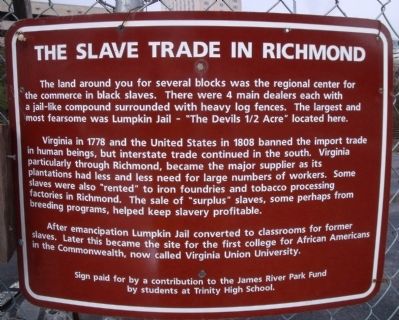
The Slave Trade In Richmond
Virginia in 1778 and the United States in 1808 banned the import trade in human beings, but interstate trade continued in the south. Virginia particularly through Richmond, became the major supplier as its plantations had less and less need for large numbers of workers. Some slaves were also "rented" to iron foundries and tobacco processing factories in Richmond. The sale of "surplus" slaves, some perhaps from breeding programs, helped keep slavery profitable.
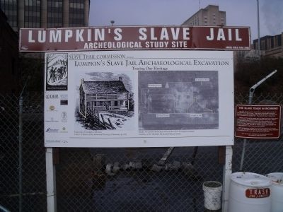
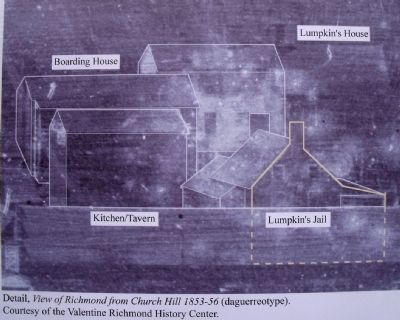
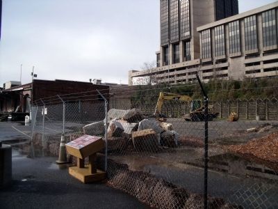
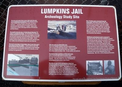
After emancipation Lumpkin Jail converted to classrooms for former slaves. Later this became the site for the first college for African Americans in the Commonwealth, now called Virginia Union University.
Sign paid for by a contribution to the James River Park Fund by students at Trinity High School
Erected by James River Park Fund.
Topics and series. This historical marker is listed in these topic lists: African Americans • Education • Industry & Commerce • Law Enforcement. In addition, it is included in the Historically Black Colleges and Universities series list. A significant historical year for this entry is 1778.
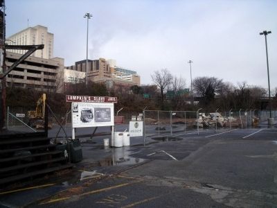
Location. This marker has been replaced by another marker nearby. It was located near 37° 32.175′ N, 77° 25.723′ W. Marker was in Richmond, Virginia. It was in Shockoe Bottom. Marker could be reached from East Franklin Street near North 15th Street. This marker is located in a parking lot between E Franklin St and Broad St just east of I-95. Touch for map. Marker was in this post office area: Richmond VA 23219, United States of America. Touch for directions.
Other nearby markers. At least 8 other markers are within walking distance of this location. Winfree Cottage (a few steps from this marker); Lumpkin's Jail (within shouting distance of this marker); Slave Rebellion leader Gabriel Prasser… (about 400 feet away, measured in a direct line); Execution of Gabriel (about 400 feet away); The Triangle (about 700 feet away); Richmond's African Burial Ground (about 700 feet away); Kahal Kadosh Beth Shalome (about 700 feet away); Odd Fellows Hall (about 700 feet away). Touch for a list and map of all markers in Richmond.
Related marker. Click here for another marker that is related to this marker. New Marker At This Location titled "Lumpkin's Jail".
Also see . . . Lumpkin's Jail Project. The James River Institute for Archaeology, Inc. (Submitted on December 28, 2009.)
Credits. This page was last revised on February 1, 2023. It was originally submitted on December 28, 2009, by Bernard Fisher of Richmond, Virginia. This page has been viewed 2,342 times since then and 24 times this year. Photos: 1, 2, 3, 4, 5. submitted on December 28, 2009, by Bernard Fisher of Richmond, Virginia. 6. submitted on January 4, 2010, by Bernard Fisher of Richmond, Virginia.
