
Salem Township near Plymouth in Washtenaw County, Michigan — The American Midwest (Great Lakes)
South Salem Stone School
⎯⎯⎯
Dickerson Barn

Photographed by Joel Seewald, October 27, 2024
1. South Salem Stone School side of marker
South Salem Stone School
This schoolhouse was built here in 1857 on land deeded to the school district by Welcome J. Partelo. The unusual use of fieldstone for a schoolhouse contrasted with the earlier log cabin structure it replaced. The school was temporarily named Jarvis School for William Jarvis, an early board member for South Salem Stone School. Enrollment ranged from fifteen to thirty-five students from grades one through eight. A 1941 addition housed bathrooms, coatracks, and storage. This was the oldest school still operating in Washtenaw County when it closed in 1967. The school sat vacant and deteriorating until 1978, when the Salem Area Historical Society bought and restored it to function as the society's headquarters. The 1887 out building was re-created in 2005 based on historical photographs.
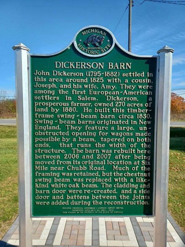
Dickerson Barn
John Dickerson (1795-1882) settled in this area around 1825 with a cousin, Joseph, and his wife, Amy. They were among the first European-American settlers in Salem. Dickerson, a prosperous farmer, owned 270 acres of land by 1880. He built this timber-frame swing-beam barn circa 1830. Swing-beam
this page online
Erected 2023 by Michgan Historical Commission — Michigan History Center. (Marker Number L2357.)
Topics. This historical marker is listed in these topic lists: Agriculture • Architecture • Education • Settlements & Settlers. A significant historical year for this entry is 1857.
Location. 42° 22.037′ N, 83° 36.452′ W. Marker is near Plymouth, Michigan, in Washtenaw County. It is in Salem Township. It is on Curtis Road near North Territorial Road, on the left when traveling north. Touch for map. Marker is at or near this postal address: 7991 N Territorial Rd, Plymouth MI 48170, United States of
Photographed by Joel Seewald, October 27, 2024
2. Dickerson Barn side of marker

Regionally, this marker is in Southeast Michigan and in Greater Detroit. It is also in the American Midwest. Globally, it is in North America, the Western Hemisphere, the Western World, and the Anglosphere. Historically, it finds itself in what was once the Northwest Territory.
Other nearby markers. At least 8 other markers are within 5 miles of this marker, measured as the crow flies: South Salem Stone School (a few steps from this marker); Jarvis Stone School (a few steps from this marker); Geer School (approx. 2.7 miles away); John Wesley Conant House (approx. 3 miles away); Rider House (approx. 3 miles away); Salem Township Veterans Memorial (approx. 3.1 miles away); Oak Grove Cemetery (approx. 4.3 miles away); Dixboro United Methodist Church (approx. 4½ miles away). Touch for a list and map of all markers in Plymouth.
Also see . . . Jarvis Stone School. Wikipedia article with a history of the school and information about the 1995-1999 renovation project. (Submitted on October 27, 2024, by Joel Seewald of Madison Heights, Michigan.)
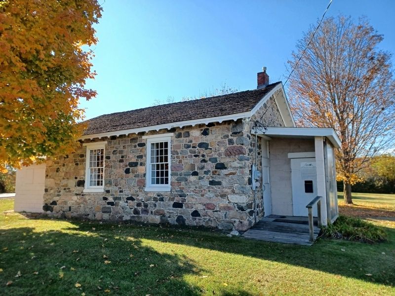
Photographed by Joel Seewald, October 27, 2024
3. South Salem Stone School
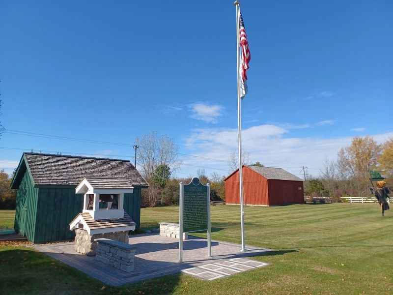
Photographed by Joel Seewald, October 27, 2024
4. South Salem Stone School / Dickerson Barn Marker
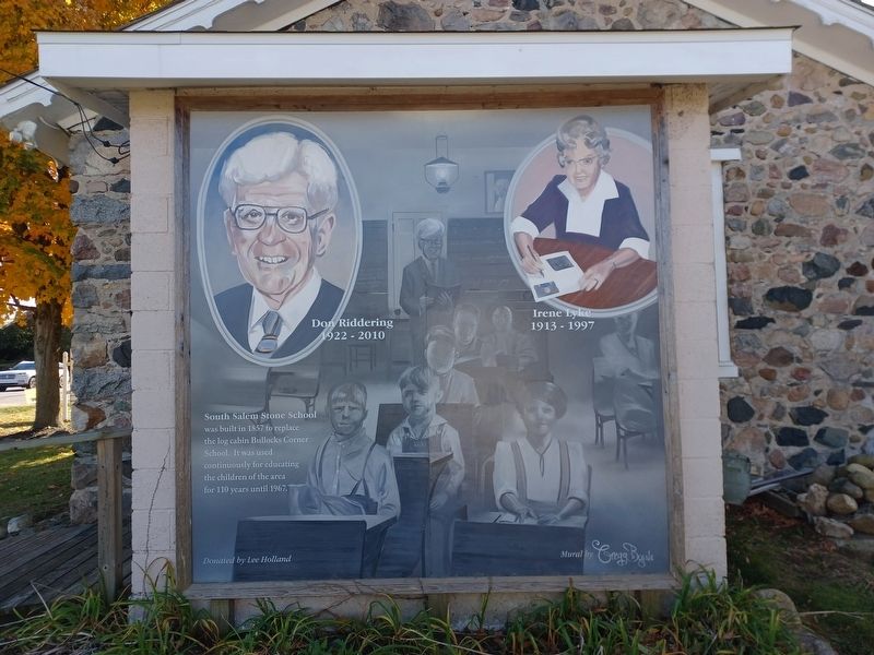
Photographed by Joel Seewald, October 27, 2024
5. South Salem Stone School Mural
Mural on north side of the school — South Salem Stone School was built to replace the log cabin Bullocks Corner School. It was used continuously for educating the children of the area for 110 years until 1967.
Credits. This page was last revised on October 27, 2024. It was originally submitted on October 27, 2024, by Joel Seewald of Madison Heights, Michigan. This page has been viewed 252 times since then and 34 times this year. Photos: 1, 2, 3, 4, 5. submitted on October 27, 2024, by Joel Seewald of Madison Heights, Michigan.
