Greenville in Greenville County, South Carolina — The American South (South Atlantic)
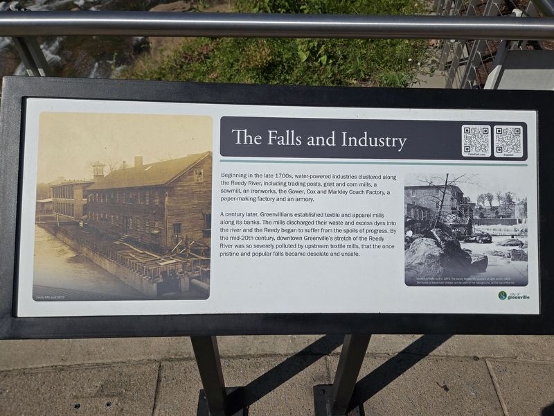
The Falls and Industry
Photographed by Mark Parker, October 25, 2024
1. The Falls and Industry Marker
A century later, Greenvillians established textile and apparel mills along its banks. The mills discharged their waste and excess dyes into the river and the Reedy began to suffer from the spoils of progress. By the mid-20th century, downtown Greenville's stretch of the Reedy River was so severely polluted by upstream textile mills, that the once pristine and popular falls became desolate and unsafe.
(captions)
Vardy Mill, built 1873
Vardy Mill (left), built in 1873. The Vardy McBee Mill appears at right, built 1829. The home of Alexander McBee can be seen in the background, at the top of the hill.
Erected by City of Greenville.
Topics. This historical marker is listed in these topic lists: Environment • Industry & Commerce.
Location. 34° 50.69′ N, 82° 24.037′ W. Marker is in Greenville, South Carolina, in Greenville
this page online

Regionally, this marker is in Upstate. It is also in the American South, specifically in the Deep South, in Appalachia, and specifically in Southern Appalachia. Globally, it is in North America, the Western Hemisphere, the Western World, and the Anglosphere. Historically, it finds itself in what was once the original Cherokee Nation, the territory of the Mississippian Culture, one of the original Thirteen Colonies, one of the Confederate States of America, and the Antebellum South.
Other nearby markers. At least 8 other markers are within walking distance of this marker: The Falls Forgotten (a few steps from this marker); Richard Pearis (a few steps from this marker); Camperdown Mill (a few steps from this marker); Cradle of Greenville (a few steps from this marker); The Falls Reclaimed (a few steps from this
Photographed by Mark Parker, October 25, 2024
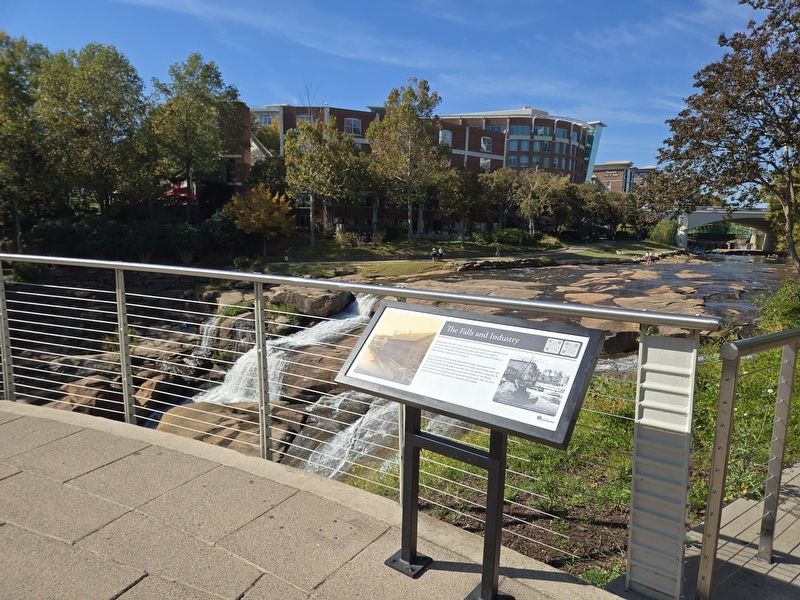
2. The Falls and Industry Marker at the overlook. The falls are in the background
Other markers no longer nearby. The Falls and Industry 1800’s – 1960 (was here, next to this marker but has been replaced with another marker now near it); The Falls Forgotten 1960 - 2002 (was a few steps from this marker but has been replaced with another marker now near it); Falls Reclaimed and the Liberty Bridge 2004 (was a few steps from this marker but has been replaced with another marker now near it).
Related marker. Click here for another marker that is related to this marker. Old Marker At This Location titled "The Falls and Industry 1800's-1960 ".
Photographed by Mark Parker, October 25, 2024
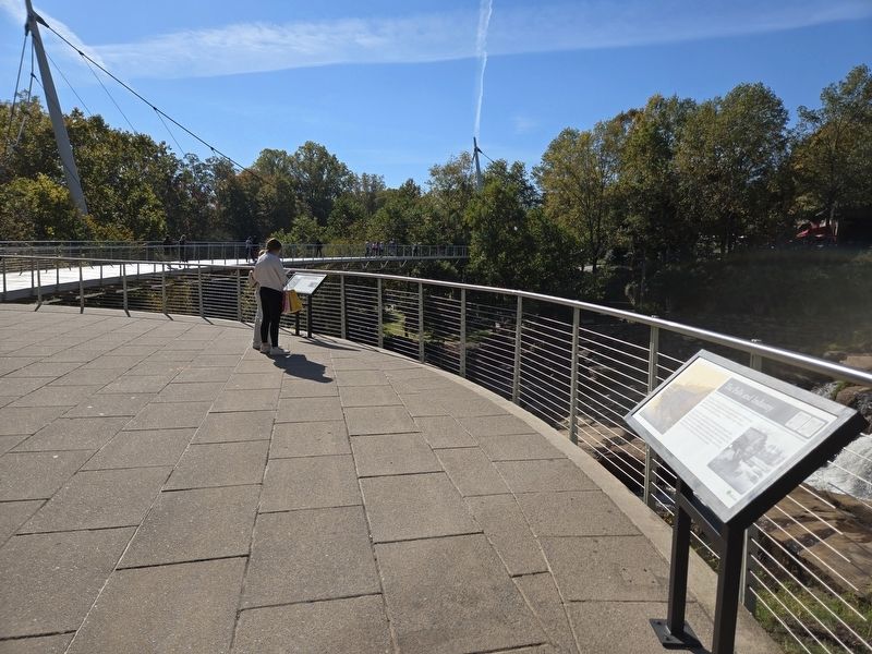
3. The Falls and Industry Marker looking towards Liberty Bridge.
The Forgotten Falls marker is in the background
Credits. This page was last revised on October 29, 2024. It was originally submitted on October 27, 2024, by Mark Parker of Hickory, North Carolina. This page has been viewed 242 times since then and 22 times this year. Photos: 1, 2, 3. submitted on October 27, 2024, by Mark Parker of Hickory, North Carolina. • Bernard Fisher was the editor who published this page.
