Ridgeland in Madison County, Mississippi — The American South (East South Central)
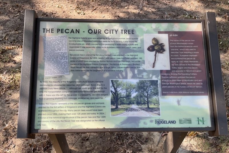
The Pecan – Our City Tree
| — | Ridgeland History Trail | — |
Photographed by Mark Hilton, October 25, 2024
1. The Pecan – Our City Tree Marker
The Highland Colony area was settled for its agricultural promise, and it quickly became one of Mississippi's principal areas for truck farming. It was known for its adaptable soil, which was perfect for producing a wide variety of fruits and vegetables. It was especially noted for its strawberry fields and peach, pear, and pecan orchards.
The pecan tree is one of the first documented crops planted in the Highland Colony of Ridgeland. By 1898, nearly 1,400 pecan trees had been planted, 100 acres of which were planted by Gorton Nichols and R.H. Thompson, two of the owners of the Highland Colony Company. The Nichols & Thompson's Grafted Stock Pecan, as they named it, was a large, fancy, paper-shelled pecan that they believed to be the beginnings of a lucrative industry.
By 1905, the majority of the Ridgeland agriculture industry became dominated by strawberries, peaches, and cabbage. According to a Jackson Daily News article, "...although we could grow fine stuff by the time the transportation companies and commission men got through with it, there was little left for the grower. Consequently, we were
this page online
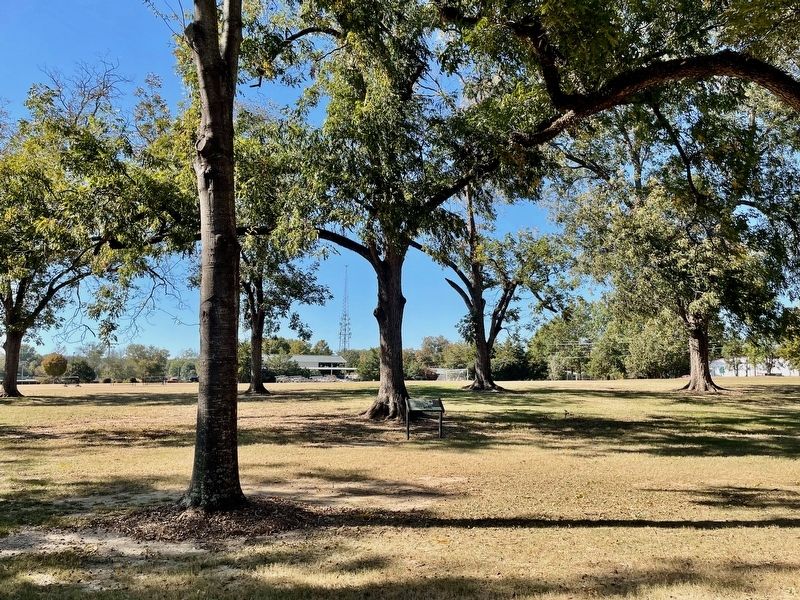
Today, the majestic remnants of the old pecan groves and orchards planted by the first settlers of Ridgeland and the Highland Colony are scattered throughout the city. Many pecan trees would have been planted circa 1896, making them over 125 years old today. In 2024, in honor of the historical significance of the pecan tree and the 125th anniversary of the city, the Pecan Tree was designated as the official city tree.
[Inset]
pĭ-kän
The name of the pecan tree (Carya illinoinensis) comes from the Native American word 'pacane,' which was used to describe "nuts requiring a stone to crack." European explorers encountered the pecan as early as 1541 when Hernando De Soto arrived in the Mississippi Valley region and the pecan was popular in French-occupied Louisiana. Among the Founding Fathers, Thomas Jefferson admired the pecan enough to plant trees at Monticello and sent George Washington seeds, which he used to plant pecans in his nursery at Mount Vernon.
Special Collections, USDA National Agricultural Library
Erected 2024
Photographed by Mark Hilton, October 25, 2024
2. Marker amongst some of the pecan trees.
Topics. This historical marker is listed in these topic lists: Agriculture • Horticulture & Forestry. A significant historical year for this entry is 1898.
Location. 32° 25.25′ N, 90° 8.274′ W. Marker is in Ridgeland, Mississippi, in Madison County. It can be reached from the intersection of West School Street and Commerce Park Drive, on the left when traveling west. Located within Freedom Ridge Park. Touch for map. Marker is at or near this postal address: 253 W School St, Ridgeland MS 39157, United States of America. Touch for directions.

Regionally, this marker is in Natchez Trace Corridor and in Greater Jackson. It is also in the American South and specifically in the Deep South. Globally, it is in North America, a Gulf of Mexico state, the Western Hemisphere, the Western World, and the Anglosphere. Historically, it finds itself in what was once the territory of the Mississippian Culture, one of the Confederate States of America, and the Antebellum South.
Other nearby markers. At least 8 other markers are within walking distance of this marker: Ridgeland (approx. ¼
Photographed by Mark Hilton, October 25, 2024
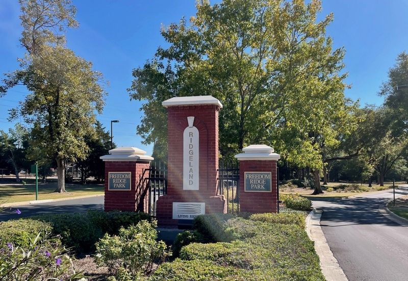
3. Freedom Park Ridge entrance & some of the pecan trees in background.
Credits. This page was last revised on October 28, 2024. It was originally submitted on October 28, 2024, by Mark Hilton of Montgomery, Alabama. This page has been viewed 231 times since then and 31 times this year. Photos: 1, 2, 3. submitted on October 28, 2024, by Mark Hilton of Montgomery, Alabama.
