Trinity-Bellwoods in Toronto, Ontario — Central Canada (North America)
St. Hilda’s College
1899

Photographed by Tim Boyd, October 24, 2024
1. St. Hilda’s College Marker
Erected 2018 by Heritage Toronto.
Topics and series. This historical marker is listed in these topic lists: Education • Women. In addition, it is included in the Canada, Toronto Heritage series list. A significant historical year for this entry is 1888.
Location. 43° 38.907′ N, 79° 24.934′ W. Marker is in Toronto, Ontario. It is in Trinity-Bellwoods. It
this page online

Regionally, this marker is in Greater Toronto and on the Golden Horseshoe. It is also in Central Canada. Globally, it is in North America, on the Great Lakes, in the Western Hemisphere, in the Western World, and in the Anglosphere. Historically, it finds itself in what was once a British colony, the Viceroyalty of New France, the Haudenosaunee (Iroquois) Confederacy, and Rupert’s Land.
Other nearby markers. At least 8 other markers are within walking distance of this marker: The Church of the Good Samaritan (here, next to this marker); John Gibson House (here, next to this marker); Trinity College (approx. 0.4 kilometers away); Major-General the Hon. Aeneas Shaw (approx. 0.4 kilometers away); Muhammad Ali vs. George Chuvalo (approx. 0.4 kilometers away); Rediscovering Garrison Creek (approx. 0.4 kilometers away); Memorial Wall Plaques Dedicated to Patient Labourers (approx.
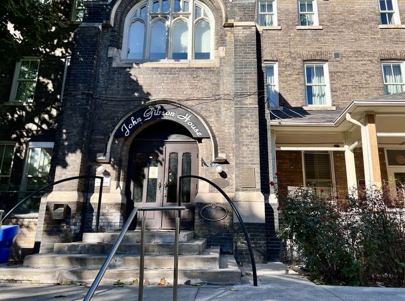
Photographed by Tim Boyd, October 24, 2024
2. St. Hilda’s College Marker
To the right of the bottom of the door
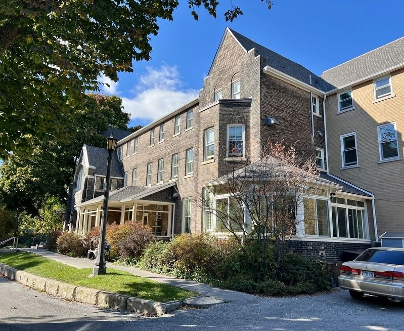
Photographed by Tim Boyd, October 24, 2024
3. The Former St. Hilda’s College, 2024

October 29, 2024
4. Old St. Hilda’s College, pre-1925
Source: National Gallery of Canada (Public Domain)
Credits. This page was last revised on February 24, 2026. It was originally submitted on October 29, 2024, by Tim Boyd of Hamilton, Ontario. This page has been viewed 383 times since then and 90 times this year. Photos: 1, 2, 3, 4. submitted on October 29, 2024, by Tim Boyd of Hamilton, Ontario. • Andrew Ruppenstein was the editor who published this page.
