Kanab in Kane County, Utah — The American Mountains (Southwest)
John Wesley Powell
Photographed by Tom Bosse, July 25, 2024
1. John Wesley Powell Marker
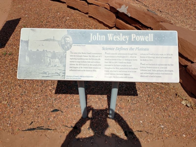
John Wesley Powell
The name John Wesley Powell is synonymous with the Colorado Plateau. His 1869 and 1871 exploring expeditions were the first scientific surveys to map southern Utah and northern Arizona. His 1879 Report on the Lands of the Arid Region of the United States remains an influential work on the American West.
Science Defines the Plateau
Powell’s scientific achievements brought him to prominence in Washington D.C., where he served as director of the U.S. Geological Survey from 1881 to 1894. Powell was deeply interested in the Native peoples he met throughout the West, particularly the Southern Paiute, who lived in and around what is now Grand Staircase-Escalante National Monument. His fascination with human cultures led Powell to help create, in 1879, the Bureau of Ethnology, which he headed until his death in 1902.
Powell and his band of explorers were the first to bring Western science to a raw and unknown land. Today geologists, ethnologists, and archaeologists continue that tradition in what is still a land of mystery.
[Caption]: Members of Powell’s 1869 trip of exploration down the Colorado
this page online
Topics. This historical marker is listed in these topic lists: Anthropology & Archaeology • Exploration. A significant historical year for this entry is 1869.
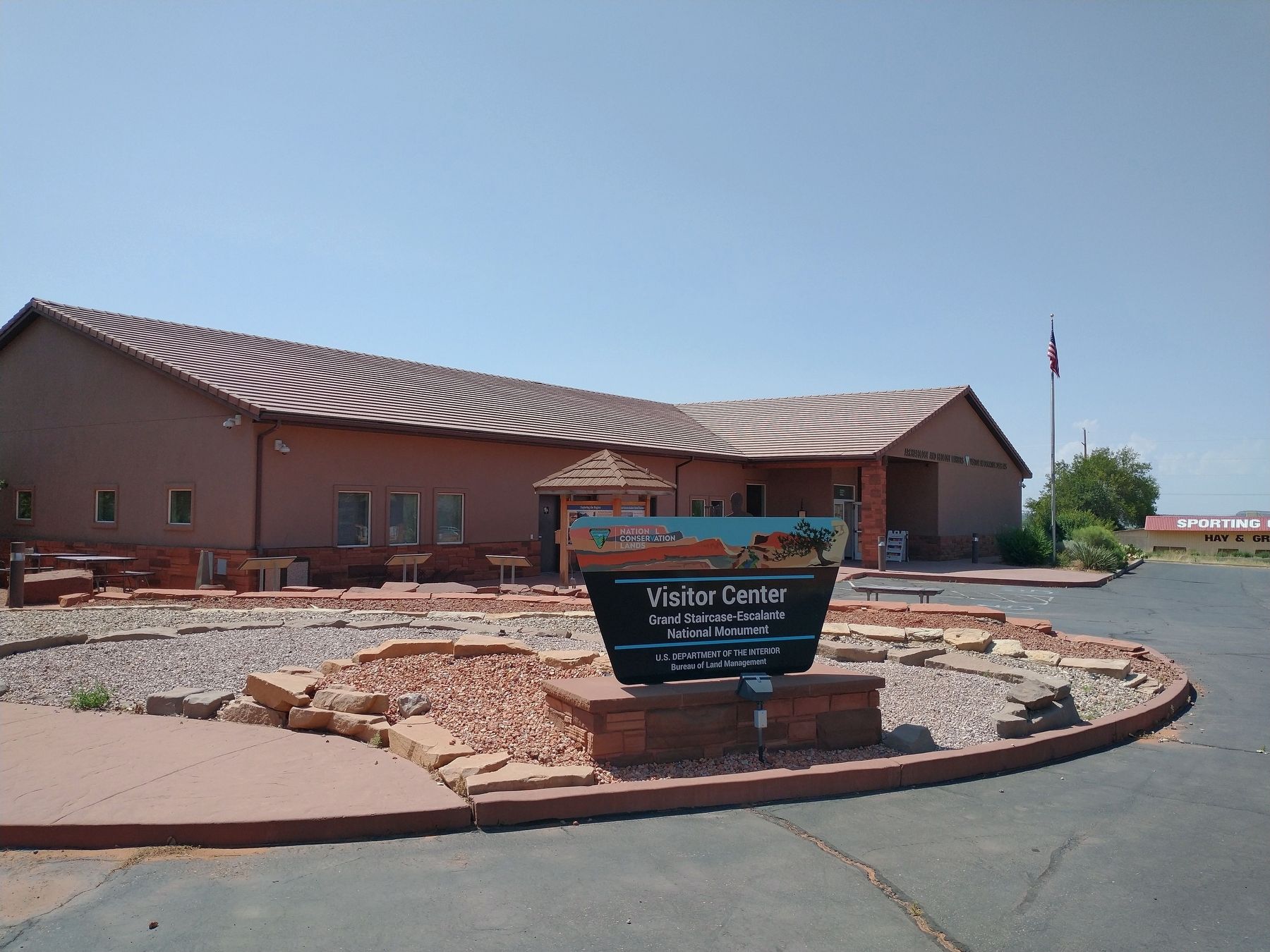
Location. 37° 2.558′ N, 112° 30.742′ W. Marker is in Kanab, Utah, in Kane County. It can be reached from U.S. 89, on the right when traveling west. Marker is located outside the Grand Staircase-Escalante National Monument Visitors Center. Touch for map. Marker is at or near this postal address: 745 U.S 89, Kanab UT 84741, United States of America. Touch for directions.

Regionally, this marker is in Utah’s Color Country. It is also in the American Southwest, in the Mountain West, on the Colorado Plateau, and at the Four Corners. Globally, it is in North America, the Western Hemisphere, the Western World, and the Anglosphere. Historically, it finds itself in what was once New Spain and also Mexico’s Alta California.
Other nearby markers. At least 8 other markers are within walking distance of this marker: Unknown Lands (here, next to this marker); Israel and Charlotte Cox Heaton (approx. ¾ mile away); Lisa Montell (approx. ¾ mile away); Forrest Tucker
Photographed by Tom Bosse, July 25, 2024
2. John Wesley Powell Marker
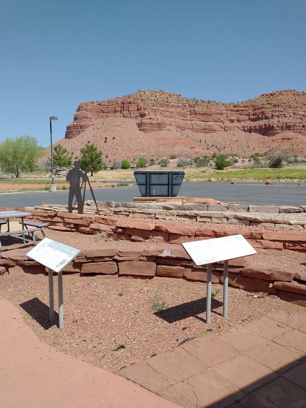
Marker is on the right.
Also see . . .
1. John Wesley Powell. (Submitted on October 31, 2024, by Tom Bosse of Jefferson City, Tennessee.)
2. John Wesley Powell, Western Explorer, Born (1834). (Submitted on October 31, 2024, by Tom Bosse of Jefferson City, Tennessee.)
Photographed by Tom Bosse, July 25, 2024
3. John Wesley Powell Marker
Back of marker is visible.
Credits. This page was last revised on November 1, 2024. It was originally submitted on October 31, 2024, by Tom Bosse of Jefferson City, Tennessee. This page has been viewed 204 times since then and 25 times this year. Photos: 1, 2, 3. submitted on October 31, 2024, by Tom Bosse of Jefferson City, Tennessee. • Andrew Ruppenstein was the editor who published this page.
