Kanab in Kane County, Utah — The American Mountains (Southwest)
Unknown Lands
Putting Science on the Map
Photographed by Tom Bosse, July 25, 2024
1. Unknown Lands Marker
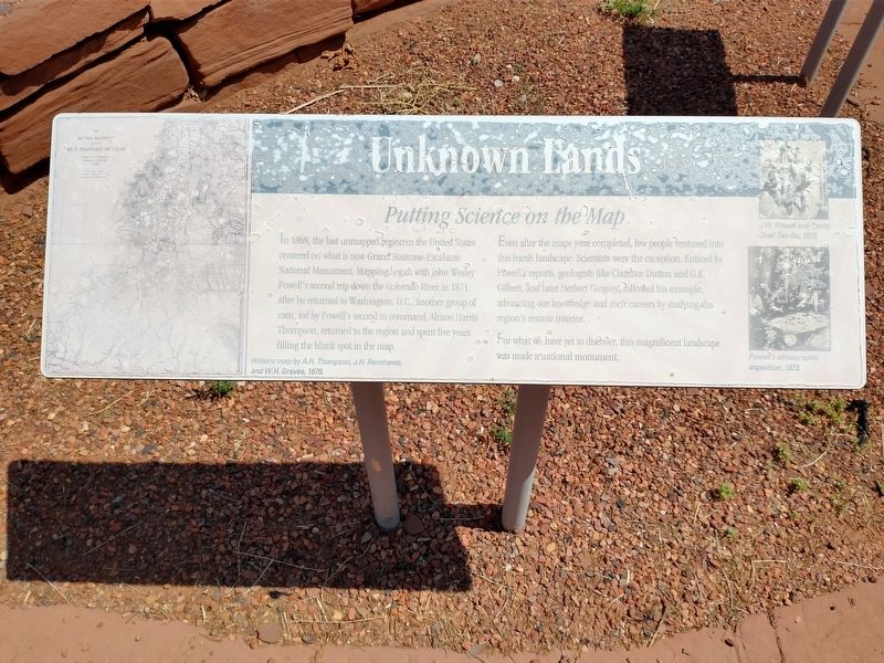
In 1868, the last unmapped region in the United States centered on what is now Grand Staircase-Escalante National Monument. Mapping began with John Wesley Powell’s second trip down the Colorado River in 1871. After he returned to Washington, D.C., another group of men, led by Powell’s second in command, Almon Harris Thompson, returned to the region and spent five years filling the blank spot in the map.
Even after the maps were completed, few people ventured into this harsh landscape. Scientist were the exception. Enticed by Powell’s reports, geologists like Clarence Dutton and G.K. Gilbert, and later Herbert Gregory, followed his example, advancing our knowledge and their careers by studying the region’s remote interior.
For what we have yet to discover, this magnificent landscape was made a national monument.
[Caption]: Historic map by A.H. Thompson, J.H. Renshawe, and W.H. Graves, 1879
[Caption]: J.W. Powell and Paiute Chief Tau-Gu, 1873
[Caption]: Powell’s ethnographic expedition, 1873.
Topics. This historical marker is listed in these topic lists: Exploration • Science & Medicine. A significant historical year for this entry is 1868.
Location. 37° 2.559′ N,
this page online

Regionally, this marker is in Utah’s Color Country. It is also in the American Southwest, in the Mountain West, on the Colorado Plateau, and at the Four Corners. Globally, it is in North America, the Western Hemisphere, the Western World, and the Anglosphere. Historically, it finds itself in what was once New Spain and also Mexico’s Alta California.
Other nearby markers. At least 8 other markers are within walking distance of this marker: John Wesley Powell (here, next to this marker); Israel and Charlotte Cox Heaton (approx. ¾ mile away); Lisa Montell (approx. ¾ mile away); Forrest Tucker (approx. ¾ mile away); Peter Ford (approx. ¾ mile away); "Henry Silva" (approx. 0.8 miles away); The Proud Rebel (approx. 0.8 miles away); Gregory Peck (approx. 0.8 miles
Photographed by Tom Bosse, July 25, 2024
2. Unknown Lands Marker
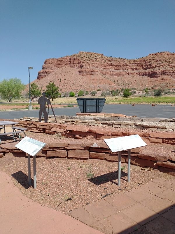
Marker is on the left.
Photographed by Tom Bosse, July 25, 2024
3. Unknown Lands Marker
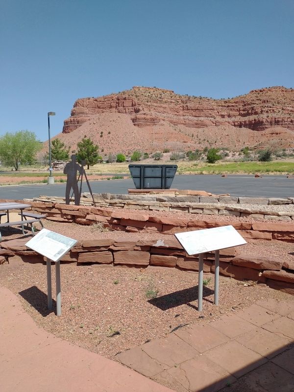
Back of marker is visible.
Credits. This page was last revised on November 1, 2024. It was originally submitted on October 31, 2024, by Tom Bosse of Jefferson City, Tennessee. This page has been viewed 119 times since then and 21 times this year. Photos: 1, 2, 3. submitted on October 31, 2024, by Tom Bosse of Jefferson City, Tennessee. • Andrew Ruppenstein was the editor who published this page.
