
Near Troy in Miami County, Ohio — The American Midwest (Great Lakes)
Miami and Erie Canal
Bike Trail Historical Lock No. 14
Photographed by Rev. Ronald Irick, July 2, 2019
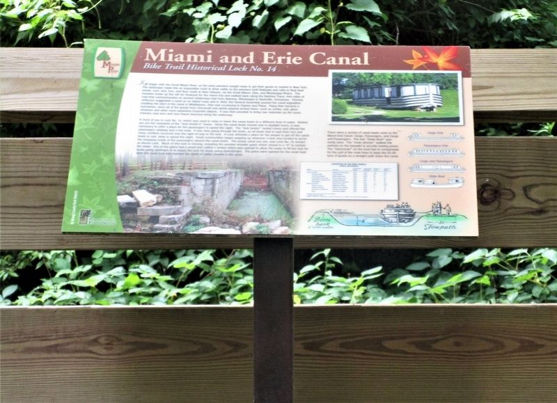
1. Miami and Erie Canal Marker
full view of marker in small rest area along bike path
It all began with the Great Miami River, as the early pioneers sought ways to get their goods to market in New York. The landscape made this an impossible route to drive cattle so the pioneers built flatboats and rafts to float their wheat, corn, lard, furs and flour south to New Orleans, via the Great Miami, Ohio and Mississippi Rivers. The travelers broke up the raft for firewood for the return trip and walked back along the Natchez Trace, 444 miles of road that commemorates an ancient wilderness trail from Natchez, Mississippi to Nashville, Tennessee. Thomas Jefferson suggested a canal as an inland route and in 1825, the General Assembly passed the canal legislation enabling the start of the canal in Middletown, Ohio and continuing to Dayton and Piqua. Piqua then became a boomtown, since all of the goods from Cincinnati and points beyond arrived there: such as coffee, salt, glass windows and other more expensive imported objects. It was then possible to bring raw materials up the canal. Industry was born and new towns bloomed along the waterway.
In front of you is Lock No. 14, which was used to raise or lower the
this page online
Photographed by Rev. Ronald Irick, July 2, 2019
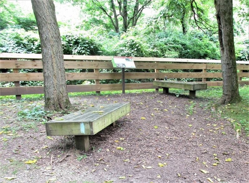
2. Miami and Erie Canal Marker
marker as seen from bike path
Erected by Miami County Foundation Miami County Park District.
Topics and series. This historical marker is listed in this topic list: Waterways & Vessels. In addition, it is included in the The Miami & Erie Canal series list. A significant historical year for this entry is 1825.
Location. 40° 0.125′ N, 84° 11.512′ W. Marker is near Troy, Ohio, in Miami County. It can be reached from Miami and Erie Canal Bike Path. marker is on the Miami and Erie Canal Bike Path 2.1 miles South of Dye Mill Road, East of County Road 25A. Touch for map. Marker is at or near this postal address: 25A S Counts St, Troy OH 45373, United States of America. Touch for directions.

Regionally, this marker is in Ohio’s Dayton Metro, in the Miami Valley, and in the
Photographed by Rev. Ronald Irick, July 2, 2019
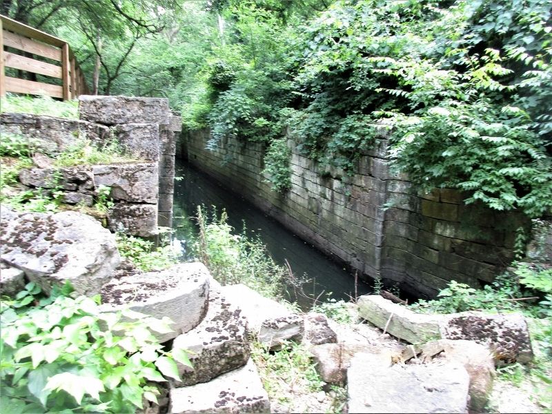
3. Miami and Erie Canal Marker
remnants of Lock #14
Other nearby markers. At least 8 other markers are within 3 miles of this marker, measured as the crow flies: WACO (approx. 0.9 miles away); WACO Aircraft Company (approx. 0.9 miles away); Concord Township Pioneer Cemetery (approx. 1.3 miles away); Troy (approx. 1.8 miles away); Col. Nancy J. Currie (approx. 1.8 miles away); Ohio Department of Natural Resources 75th Anniversary (approx. 2.2 miles away); Junior Girls Canteen 1943-1946 (approx. 2.2 miles away); Dilts Warehouse Plant No. 1 (approx. 2.2 miles away). Touch for a list and map of all markers in Troy.
Another marker is no longer nearby. Thomas Cemetery / Abraham Thomas (was approx. 1.4 miles away but has been confirmed missing).

Photographed by Craig Doda, October 27, 2024
4. Remnant of lock tenders house
South of the lock a few feet.
Credits. This page was last revised on November 6, 2024. It was originally submitted on July 2, 2019, by Rev. Ronald Irick of West Liberty, Ohio. This page has been viewed 582 times since then and 56 times this year. Last updated on November 1, 2024, by Craig Doda of Napoleon, Ohio. Photos: 1, 2, 3. submitted on July 2, 2019, by Rev. Ronald Irick of West Liberty, Ohio. 4. submitted on November 1, 2024, by Craig Doda of Napoleon, Ohio. • Devry Becker Jones was the editor who published this page.
