Concord Township in Troy in Miami County, Ohio — The American Midwest (Great Lakes)
Ferry & Bridges

Photographed by Craig Doda, October 27, 2024
1. Ferry & Bridges Marker
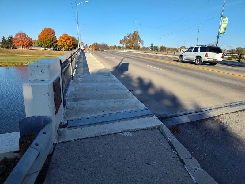
First Bridge was of wood. one lane wide. Second was wooden, two-lane, Covered Bridge, built 1859, and replaced by steel two-lane Bridge 1887. Present Bridge, completed 1961.
Erected 1969 by The Troy Historical Society.
Topics. This historical marker is listed in these topic lists: Bridges & Viaducts • Waterways & Vessels. A significant historical year for this entry is 1859.
Location. 40° 2.469′ N, 84° 12.136′ W. Marker is in Troy, Ohio, in Miami County. It is in Concord Township. It is at the intersection of North Market Street (Ohio Route 55) and West Water Street, on the right when traveling south on North Market Street. Touch for map. Marker is at or near this postal address: 113 N Market St, Troy OH 45373, United States of America. Touch for directions.

Regionally, this marker is in Ohio’s Dayton Metro, in the Miami Valley, and in the Till Plains. It is also in the American Midwest and in the Corn Belt. Globally, it is in North America,
this page online
Other nearby markers. At least 8 other markers are within walking distance of this marker: The John Kitchen House 1847 (about 600 feet away, measured in a direct line); Troy's Public Square & Third Courthouse (about 700 feet away); Overfield Tavern (about 700 feet away); Statue Of Transportation (about 800 feet away); Statue Of Industry (approx. 0.2 miles away); Courthouses and Jail (approx. 0.2 miles away); Sheriff’s House and Jail (approx. 0.2 miles away); Miami County War Savings Quota Plaque (approx. 0.2 miles away). Touch for a list and map of all markers in Troy.
Photographed by Craig Doda, October 27, 2024
2. Ferry & Bridges Marker

Photographed by Craig Doda, October 27, 2024
3. Market Street Bridge
Credits. This page was last revised on November 19, 2024. It was originally submitted on November 1, 2024, by Craig Doda of Napoleon, Ohio. This page has been viewed 164 times since then and 24 times this year. Photos: 1, 2, 3. submitted on November 1, 2024, by Craig Doda of Napoleon, Ohio. • Bill Pfingsten was the editor who published this page.
