Waverly in Sussex County, Virginia — The American South (Mid-Atlantic)
The Cattle (Beefsteak) Raid
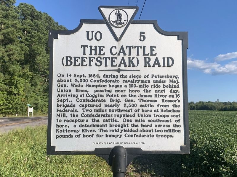
Photographed by Tim Fillmon, September 10, 2024
1. The Cattle (Beefsteak) Raid Marker
Erected 2016 by Department of Historic Resources. (Marker Number UO-5.)
Topics and series. This historical marker is listed in this topic list: War, US Civil. In addition, it is included in the Virginia Department of Historic Resources (DHR) series list. A significant historical date for this entry is September 14, 1864.
Location. 36° 59.424′ N, 77° 15.287′ W. Marker is in Waverly, Virginia, in Sussex County. It is on Jerusalem Plank Road (Virginia Route 35) just north of Neblett Mill Road ( Route 626). Touch for map. Marker
this page online

Regionally, this marker is in Coastal Virginia. It is also in the American South, specifically in the Upper South, and in the Tidewater. Globally, it is in North America, the Western Hemisphere, the Western World, and the Anglosphere. Historically, it finds itself in what was once the territory of the Mississippian Culture, one of the original Thirteen Colonies, one of the Confederate States of America, and the Antebellum South.
Other nearby markers. At least 8 other markers are within 9 miles of this marker, measured as the crow flies: Prince George County / Sussex County (approx. 4.4 miles away); Sussex County Confederate Monument (approx. 5.4 miles away); Sussex County War Memorial (approx. 5.4 miles away); Sussex County Courthouse (approx. 5.4 miles away); a different marker also named Prince George County / Sussex County (approx. 7.6 miles away); Hunting Quarter Baptist Church (approx. 8.1 miles away); Reams Station (approx. 8.2 miles away); History At Stony Creek (approx. 8.2 miles away).
Another marker is no longer
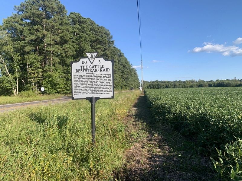
Photographed by Tim Fillmon, September 10, 2024
2. The Cattle (Beefsteak) Raid Marker
Related marker. Click here for another marker that is related to this marker. Old Marker At This Location also titled "The Cattle (Beefsteak) Raid".
Also see . . . Beefsteak Raid. (Submitted on November 1, 2024, by Tim Fillmon of Webster, Florida.)
Credits. This page was last revised on December 4, 2025. It was originally submitted on November 1, 2024, by Tim Fillmon of Webster, Florida. This page has been viewed 258 times since then and 45 times this year. Photos: 1, 2. submitted on November 1, 2024, by Tim Fillmon of Webster, Florida.
