
Coldwater in Simcoe County, Ontario — Central Canada (North America)
The Chippewas of Lakes Huron and Simcoe & the War of 1812

Photographed by Cosmos Mariner, June 7, 2024
1. The Chippewas of Lakes Huron and Simcoe & the War of 1812 Marker
In June of 1812, United States President James Madison signed into law a Declaration of War against Great Britain and the colonies of Upper and Lower Canada. Former U.S. President Thomas Jefferson believed: “The acquisition of Canada this year as far as the neighborhood of Quebec, will be a mere matter of marching, and will give us the experience for the attack on Halifax, the next and final expulsion of England from the American continent.”
Sir George Prevost, serving as both the Governor General of civic affairs and Commander in Chief of military forces in British North America, had decided on a defensive strategy with the safety of Quebec being the highest priority. At the outbreak of war, there were 6,034 British Army Regulars in Upper and Lower Canada, 4,400 were garrisoned at Quebec. Major General Sir Isaac Brock was in command of the remaining 1,634 British Regulars with orders to defend all of Upper Canada — a vast territory stretching from modern-day Montreal to Sault Ste. Marie to Windsor to Niagara — from American invasion.
British Indian Agent and fur trader Robert Dickson created a list of “Indian Warriors”
this page online
Map image courtesy of Simcoe County Archives.
Erected by Canadian Heritage / Patrimoine canadien.
Topics and series. This historical marker is listed in these topic lists: Indigenous Peoples and Communities • War of 1812. In addition, it is included in the Former U.S. Presidents: #03 Thomas Jefferson, and the Former U.S. Presidents: #04 James Madison series lists. A significant historical month for this entry is June 1812.
Location. 44° 42.48′ N, 79° 38.652′ W. Marker is in Coldwater, Ontario, in Simcoe County. It is on
Photographed by Cosmos Mariner, June 7, 2024
2. The Chippewas of Lakes Huron and Simcoe & the War of 1812 Marker
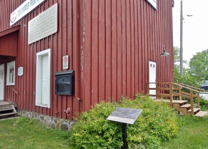
The marker is located beside the northwest corner of the Coldwater Mill.

Regionally, this marker is in Central Ontario Cottage Country and specifically in Georgian Bay Country. It is also in Central Canada. Globally, it is in North America, on the Great Lakes, in the Western Hemisphere, in the Western World, and in the Anglosphere. Historically, it finds itself in what was once a British colony, the Viceroyalty of New France, the Haudenosaunee (Iroquois) Confederacy, and Rupert’s Land.
Other nearby markers. At least 8 other markers are within 13 kilometers of this marker, measured as the crow flies: The Coldwater Mill (here, next to this marker); George R. Gray (about 90 meters away, measured in a direct line); The Rick Hansen Bridge (about 180 meters away); St. Ignace II (approx. 6 kilometers away); Ataronchronon Village (approx. 11.1 kilometers away); The Arrival of the Jesuits in New France (approx.
Photographed by Cosmos Mariner, June 7, 2024
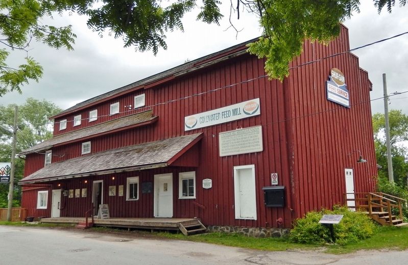
3. The Coldwater Mill (northwest elevation)
Looking southeast from Mill Street; the marker is beside the northwest corner of the building.
Also see . . .
1. War of 1812 begins (www.history.com).
Excerpt: June 18, 1812: The day after the Senate followed the House of Representatives in voting to declare war against Great Britain, President James Madison signs the declaration into law—and the War of 1812 begins. The American war declaration, opposed by a sizable minority in Congress, had been called in response to the British economic blockade of France, the induction of American seaman into the British Royal Navy against their will, and the British support of Indian tribes along the Great Lakes frontier.(Submitted on November 3, 2024, by Cosmos Mariner of Cape Canaveral, Florida.)
2. "Acquisition of Canada this year will be a mere matter of marching" (National Park Service).
Excerpt: Thomas Jefferson could be extremely overconfident. In August 1812, the former President boasted to the editor of a Philadelphia newspaper that “the acquisition of Canada …will be a mere matter of marching.” Jefferson and other optimists overlooked a number of realities. Jefferson’s assessment proved wrong on just about every count. Americans went to war based on faulty assumptions about Canadian geography, weather, the fitness of its ground forces, and the attitudes of the Canadian population toward “liberation.” Jefferson worked to drum up support for the invasion through correspondence with key members of the press, and managed to spread his over confidence to the larger public. Those efforts positioned them for a rude awakening as the reality of war sank in and American fortunes slipped.(Submitted on November 3, 2024, by Cosmos Mariner of Cape Canaveral, Florida.)
Credits. This page was last revised on November 3, 2024. It was originally submitted on November 2, 2024, by Cosmos Mariner of Cape Canaveral, Florida. This page has been viewed 254 times since then and 25 times this year. Photos: 1, 2, 3. submitted on November 3, 2024, by Cosmos Mariner of Cape Canaveral, Florida.
