
Coldwater in Simcoe County, Ontario — Central Canada (North America)
The Coldwater Mill
1833
Photographed by Cosmos Mariner, June 7, 2024
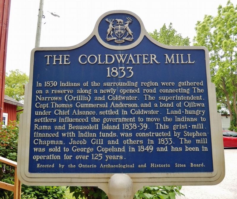
1. The Coldwater Mill Marker
In 1830 Indians of the surrounding region were gathered on a reserve along a newly opened road connecting The narrows (Orillia) and Coldwater. The superintendent, Capt. Thomas Gummersal Anderson, and a band of Ojibwa under chief Aisance, settled in Coldwater. Land-hungry settlers influenced the government to move the Indians to Rama and Beausoleil Island 1838-39. This grist-mill, financed with Indian funds, was constructed by Stephen Chapman, Jacob Gill and others in 1833. The mill was sold to George Copeland in 1849 and has been in operation for over 125 years.
Erected by Ontario Archaeological and Historic Sites Board.
Topics and series. This historical marker is listed in these topic lists: Indigenous Peoples and Communities • Industry & Commerce • Settlements & Settlers. In addition, it is included in the Canada, Ontario Heritage Trust series list. A significant historical year for this entry is 1833.
Location. 44° 42.478′ N, 79° 38.652′ W. Marker is in Coldwater, Ontario, in Simcoe County. It is on Mill Street just west of Coldwater Road (County Road 17), on the left when traveling west. The marker is
this page online

Regionally, this marker is in Central Ontario Cottage Country and specifically in Georgian Bay Country. It is also in Central Canada. Globally, it is in North America, on the Great Lakes, in the Western Hemisphere, in the Western World, and in the Anglosphere. Historically, it finds itself in what was once a British colony, the Viceroyalty of New France, the Haudenosaunee (Iroquois) Confederacy, and Rupert’s Land.
Other nearby markers. At least 8 other markers are within 13 kilometers of this marker, measured as the crow flies: The Chippewas of Lakes Huron and Simcoe & the War of 1812 (here, next to this marker); George R. Gray (about 90 meters away, measured in a direct line); The Rick Hansen Bridge (about 180 meters away); St. Ignace II (approx. 6 kilometers away); Ataronchronon Village (approx. 11.1 kilometers away); The Arrival of the Jesuits in New France (approx. 11.1 kilometers away); Port Severn Swing Bridge, Lock 45
Photographed by Cosmos Mariner, June 7, 2024
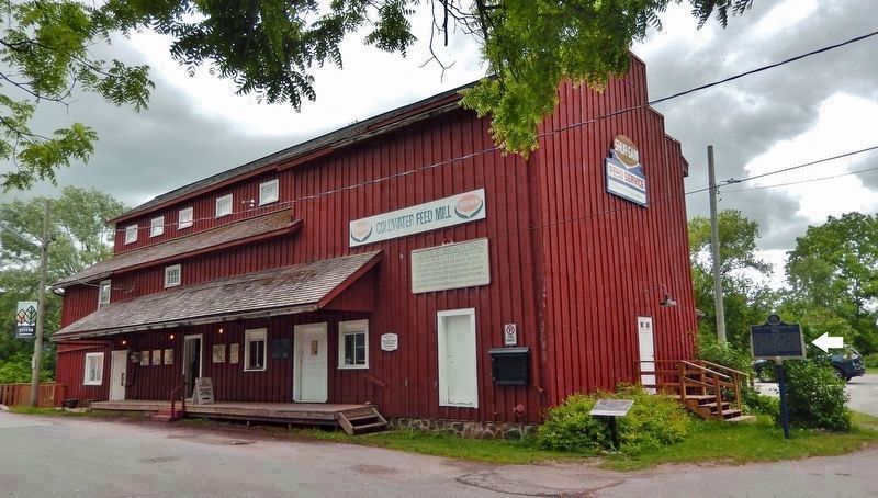
2. Coldwater Mill (northwest elevation)
Looking southeast from Mill Street; the marker is near the stairs on the right [west] side of the building.
More about this marker. Both sides of this marker have the same English inscription.
Also see . . .
1. Coldwater Mill History.
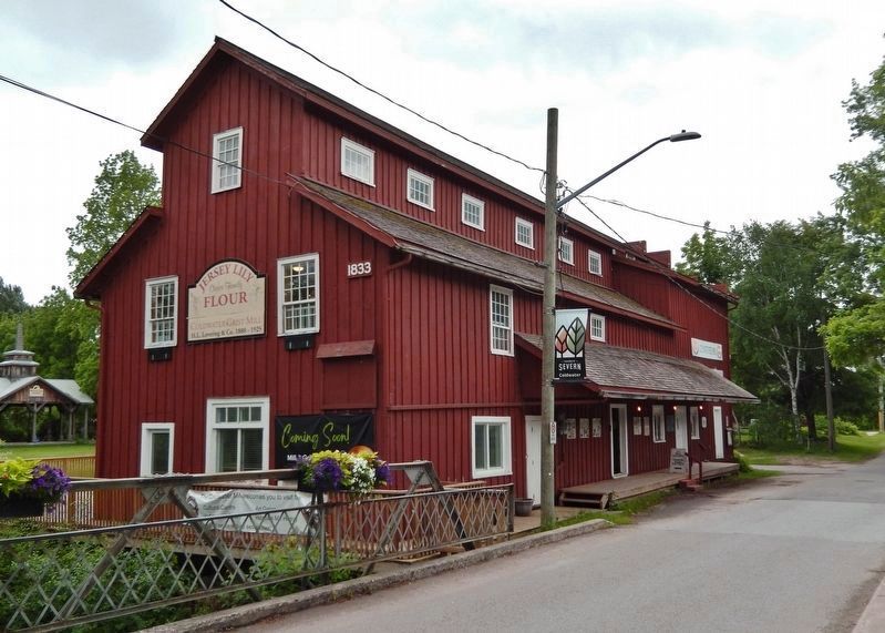
Excerpt: This Landmark Grist Mill was constructed in 1833-34 for the Ojibway who had been settled on 3969 hectares between the Coldwater River and the Narrows at Orillia on the western side of Lake Couchiching. By 1831 a good start had been made on farming in the area and some five hundred bushels of grain had been harvested and it was evident that it was of little use unless a Grist Mill was established in the area. A master carpenter named Bell prepared the estimates for the construction of the Grist Mill for the Department of Indian Affairs. The mill was constructed under the supervision of a man named Anderson, the foreman was Jacob Gill and the Millwright was Henry Hodgson. The Grist Mill was built entirely with Native money. Givens also charged them for the millstones and irons sent up the year before. The building was(Submitted on November 3, 2024, by Cosmos Mariner of Cape Canaveral, Florida.)completed by the end of August 1833.Photographed by Cosmos Mariner, June 7, 20243. Coldwater Mill (northeast elevation)
2. Coldwater: A Brief History.
Excerpt: The Coldwater area was set up in 1830 as part of the Ojibwa Indigenous Land under Chief John Aisance. The Ojibwa named the area “Gis-si-nau-se-bing”, meaning Cold River or Cold Water. The Indigenous People moved off the reserve to Beausoleil Island and Christian Island in 1836 and white pioneers began to take over the farming establishments, including the Grist Mill. The name “Coldwater” was retained, and the area became part of the Township of Medonte.(Submitted on November 3, 2024, by Cosmos Mariner of Cape Canaveral, Florida.)
3. Beausoleil Island.
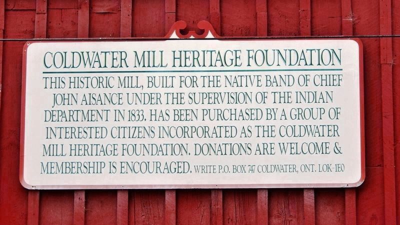
Excerpt: Beausoleil Island National Historic Site of Canada is the largest island in Georgian Bay Islands National Park of Canada, located at Severn Sound, southern Ontario. The island is named after Louis Beausoleil, a Métis settler whose 1819 homestead stood at the island’s southern tip. The island was well-known to Aboriginal peoples as a bad weather refuge and stopping place and supported two villages(Submitted on November 3, 2024, by Cosmos Mariner of Cape Canaveral, Florida.)during the Reserve period (1838-1856). Chief John Assance led his people to Beausoleil Island after having ceded their lands at Coldwater. Assance’s band settled on the island`s leeward side at Cedar Spring.Photographed by Cosmos Mariner, June 7, 20244. Coldwater Mill Heritage Foundation(mounted over door near northwest corner of the building) This historic mill, built for the native band of Chief John Aisance under the supervision of the Indian Department in 1833, has been purchased by a group of interested citizens incorporated as the Coldwater Mill Heritage Foundation. Donations are welcome & membership is encouraged. Write P.O. Box 747, Coldwater, Ont. L0K 1E0.
Photographed by Cosmos Mariner, June 7, 2024
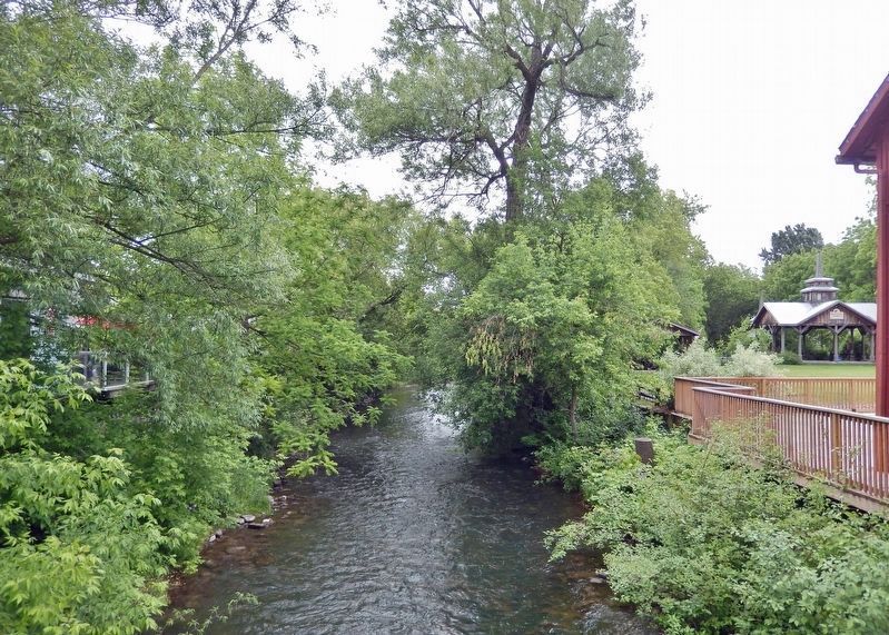
5. Coldwater Mill Stream
The mill stream runs north-south along the east side of the building.
Photographed by Cosmos Mariner, June 7, 2024
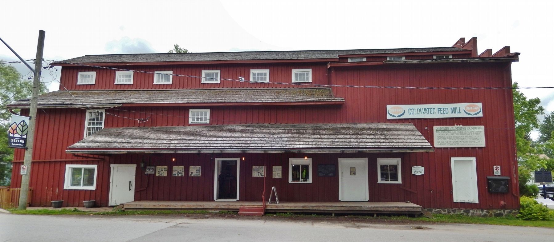
6. Coldwater Mill (north elevation — facing Mill Street)
The marker is visible in the shadows at the far-right [west] end of the building.
Credits. This page was last revised on November 3, 2024. It was originally submitted on November 2, 2024, by Cosmos Mariner of Cape Canaveral, Florida. This page has been viewed 168 times since then and 30 times this year. Photos: 1, 2, 3, 4, 5, 6. submitted on November 3, 2024, by Cosmos Mariner of Cape Canaveral, Florida.
