
Putnamville in Putnam County, Indiana — The American Midwest (Great Lakes)
The Cumberland Road · The National Road · U.S. Highway 40

Photographed by Jason Voigt, October 30, 2024
1. The Cumberland Road - The National Road - U.S. Highway 40 Marker
In 1840 John Parsons wrote in a tour through Indiana: "The National Road, here in a very good condition, is a most interesting spectacle, with its red stage coaches, passing frequently; its barns, for the horses are always changed here, the wagons pushing on to the west; the 'movers', the merchants with their goods, a continual stream of travel from sunrise to sunset. "…I continue to wonder at the aggregation of men of fine education and excellent family who have gathered into this place."
Erected by Putnam County Community Foundation.
Topics and series. This historical marker is listed in this topic list:
this page online
Location. 39° 34.457′ N, 86° 51.891′ W. Marker is in Putnamville, Indiana, in Putnam County. It can be reached from the intersection of U.S. 40 and Indiana Route 243. Touch for map. Marker is at or near this postal address: 822 U.S Hwy 40, Greencastle IN 46135, United States of America. Touch for directions.

Regionally, this marker is in Central Indiana. It is also in the American Midwest and in the Corn Belt. Globally, it is in North America, the Western Hemisphere, the Western World, and the Anglosphere. Historically, it finds itself in what was once the territory of the Mississippian Culture and also the Northwest Territory.
Other nearby markers. At least 8 other markers are within 4 miles of this marker, measured as the crow flies: Dr. Amos H. Horn (here, next to this marker); Putnamville School (here, next to this marker); Putnamville (here, next to this marker); Putnamville United Methodist Church (within shouting distance of this marker); Putnam County Veterans Memorial (approx.
Photographed by Jason Voigt, October 30, 2024
2. The Cumberland Road · The National Road · U.S. Highway 40 Marker
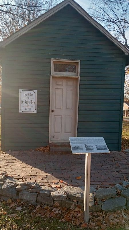
Marker is in front of Dr. Amos Horn office, which is now a museum.
Credits. This page was last revised on November 2, 2024. It was originally submitted on November 2, 2024, by Jason Voigt of Glen Carbon, Illinois. This page has been viewed 301 times since then and 48 times this year. Photos: 1, 2. submitted on November 2, 2024, by Jason Voigt of Glen Carbon, Illinois.
