East Side in San Antonio in Bexar County, Texas — The American South (West South Central)
The SNCC Legacy Project
Photographed by James Hulse, October 29, 2024
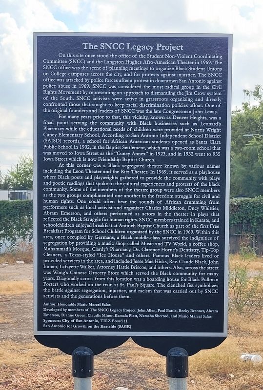
1. The SNCC Legacy Project Marker
On this site once stood the office of the Student Non-Violent Coordinating Committee (SNCC) and the Langston Hughes Afro-American Theater in 1969. The SNCC office was the scene of planning meetings to organize Black Student Unions on College campuses across the city, and for protests against injustice. The SNCC office was attacked by police forces after a protest in downtown San Antonio against police abuse in 1969. SNCC was considered the most radical group in the Civil Rights Movement by representing an approach to dismantling the Jim Crow system of the South. SNCC activists were active in grassroots organizing and directly confronted those that sought to keep racial discrimination policies afloat. One of the original founders and leaders of SNCC was the late Congressman John Lewis.
For many years prior to that, this vicinity, known as Denver Heights, was a focal point serving the community with Black businesses such as Leonard's Pharmacy while the educational needs of children were provided at Norris Wright Cuney Elementary School. According to San Antonio Independent School District (SAISD) records, a school for African American students opened as Santa Clara Public School in 1902, in the Baptist Settlement, which was a two-room school that was moved to Iowa Street as the "Cuney Annex" in 1923, and in 1932 went to 935 Iowa Street which is now Friendship Baptist Church.
At this corner was a Black segregated theater known by various names including the Leon Theater and the Ritz Theater. In 1969, it served as a playhouse where Black poets and playwrights gathered to provide the community with plays and poetic readings that spoke to the cultural experiences and protests of the black community. Some of the members of the theatre group were also SNCC members as the two groups complimented one another
this page online
Photographed by James Hulse, October 29, 2024
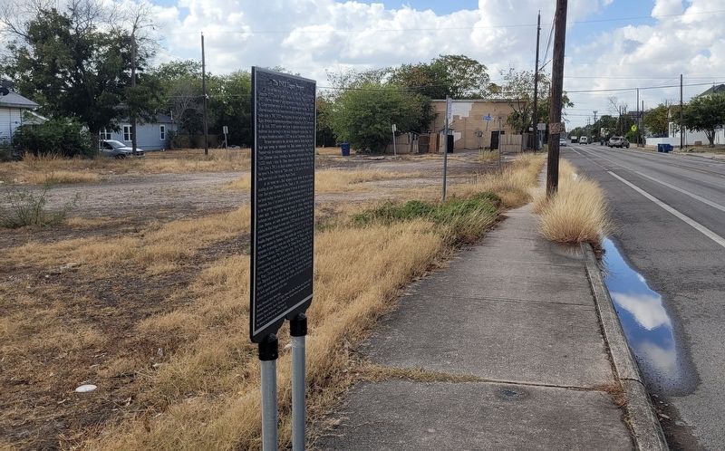
2. The view of the SNCC Legacy Project Marker along the street
Author: Honorable Mario Marcel Salas
Developed by members of The SNCC Legacy Project: John Allen, Paul Battle, Becky Brenner, Abram Emerson, Dianne Green, Claudis Minor, Kamala Platt, Natasha Sherrod, and Mario Marcel Salas
Erected by City of San Antonio, TIRZ Board 11 and San Antonio for Growth on the Eastside (SAGE).
Topics. This historical marker is listed in these topic lists: African Americans • Civil Rights • Education. A significant historical year for this entry is 1969.
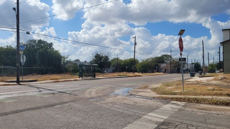
Location. 29° 24.715′ N, 98° 28.231′ W. Marker has been damaged. Marker is in San Antonio, Texas, in Bexar County. It is in the East Side. It is at the intersection of Iowa Street and South Pine Street, on the right when traveling east on Iowa Street. The marker is located along the street next to a bus stop. Touch for map. Marker is at or near this postal address: 709 S Pine St, San Antonio TX 78203, United States of America.
Photographed by James Hulse, October 29, 2024
3. The view of the SNCC Legacy Project Marker from across the street

Regionally, this marker is in South Texas. It is also in the American South. Globally, it is in North America, a Gulf of Mexico state, the Western Hemisphere, the Western World, and the Anglosphere. Historically, it finds itself in what was once New Spain, the Republic of Texas, and one of the Confederate States of America.
Other nearby markers. At least 8 other markers are within walking distance of this location: John Inman Fighter for Human Rights (approx. 0.2 miles away); Frederick Douglass School (approx. ¼ mile away); Col. Edward Miles (approx. half a mile away); Adina Emilia de Zavala (approx. half a mile away); Old Powder Mill (approx. half a mile away); John Lang Sinclair (approx. half a mile away); Clara Driscoll (approx. 0.6 miles away); D.A. (Jack) Harris (approx. 0.6 miles away). Touch for a list and map of all markers in San Antonio.
Also see . . . City of San Antonio historical marker sustains damage, police say. The "SNCC Legacy Project" marker was reported vandalized and broken at its base on August 1st, 2026. The historical marker has since been removed from the area for safety and assessment. (Submitted on August 7, 2026, by Mark Hilton of Montgomery, Alabama.)
Credits. This page was last revised on August 12, 2026. It was originally submitted on November 4, 2024, by James Hulse of Medina, Texas. This page has been viewed 354 times since then and 127 times this year. Photos: 1, 2, 3. submitted on November 5, 2024, by James Hulse of Medina, Texas.
Editor’s want-list for this marker. Photo of marker when replaced. • Can you help?
