Pearson in Atkinson County, Georgia — The American South (South Atlantic)
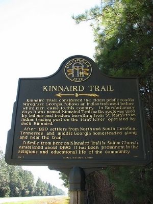
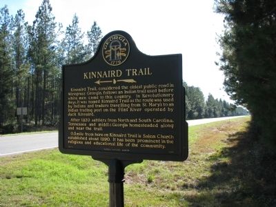
Kinnaird Trail
After 1820, settlers from North and South Carolina, Tennessee and middle Georgia homesteaded on and along the trail.
0.5 mile from here on Kinnaird Trail is Salem Church established about 1890. It has been prominent in the religious and educational life of the community.
Erected 1992 by State of Georgia. (Marker Number 002-2.)
Topics and series. This historical marker is listed in this topic list: Roads & Vehicles. In addition, it is included in the Georgia Historical Society series list. A significant historical year for this entry is 1820.
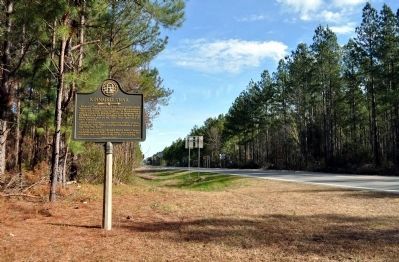
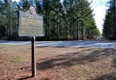
Location. 31° 12.049′ N, 82° 54.912′ W. Marker is in Pearson, Georgia, in Atkinson County. Marker is at the intersection of U.S. 221 and Kinnaird Trail (County Road 29), on the right when traveling south on U.S. 221. Touch for map. Marker is in this post office area: Pearson GA 31642, United States of America. Touch for directions.
Other nearby markers. At least 8 other markers are within 12 miles of this marker, measured as the crow flies. Salem Church (approx. half a mile away); Guest Mill Pond (approx. 4.1 miles away); a different marker also named Guest Mill Pond (approx. 4.1 miles away); Bethany Baptist Church (approx. 6˝ miles away); Atkinson Court House (approx. 7˝ miles away); Confederate Soldier Memorial (approx. 7˝ miles away); Minnie F. Corbitt Memorial Museum (approx. 7.7 miles away); First Court in Clinch County (approx. 11.7 miles away). Touch for a list and map of all markers in Pearson.
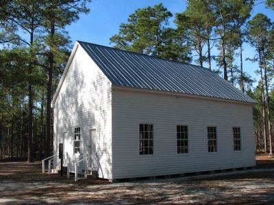
Photographed By Brian Brown, December 29, 2009
3. Salem Church
Built in 1889 by Martin S. Corbitt, Salem Church also served the community as a schoolhouse in its earliest days. Corbitt later moved to Pearson and served as the town's first mayor. Services are now held once annually at a reunion of the pioneer congregation's descendants. 0.5 mile from Kinnaird Trail marker.
Credits. This page was last revised on June 16, 2016. It was originally submitted on December 30, 2009, by Brian Brown of Fitzgerald, Georgia. This page has been viewed 2,364 times since then and 55 times this year. Photos: 1, 2, 3. submitted on December 30, 2009, by Brian Brown of Fitzgerald, Georgia. 4, 5. submitted on March 1, 2012, by David Seibert of Sandy Springs, Georgia. • Kevin W. was the editor who published this page.
