Bar Harbor in Hancock County, Maine — The American Northeast (New England)
Grant Park
Photographed by Darren Jefferson Clay, October 16, 2024
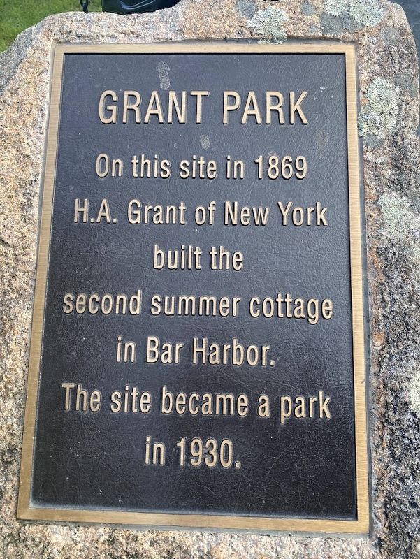
1. Grant Park marker
On this site in 1869 H.A. Grant of New York built the second summer cottage in Bar Harbor. The site became a park in 1930.
Topics. This historical marker is listed in this topic list: Parks & Recreational Areas.
Location. 44° 23.319′ N, 68° 12.069′ W. Marker is in Bar Harbor, Maine, in Hancock County. It is on Albert Meadow east of Compass Harbor Lane, on the right when traveling north. Touch for map. Marker is at or near this postal address: 21 Albert Meadow, Bar Harbor ME 04609, United States of America. Touch for directions.

Regionally, this marker is on Mount Desert Island and in Downeast Maine. It is also in the American Northeast, in New England, and on the Eastern Seaboard. Globally, it is in the North Atlantic Region, North America, the Great North Woods, the Western Hemisphere, the Western World, and the Anglosphere. Historically, it finds itself in what was once the Viceroyalty of New France and also Acadia.
Other nearby markers. At least 8 other markers are within walking distance of this marker: A different marker also named Grant Park (within
this page online
Photographed by Darren Jefferson Clay, October 16, 2024
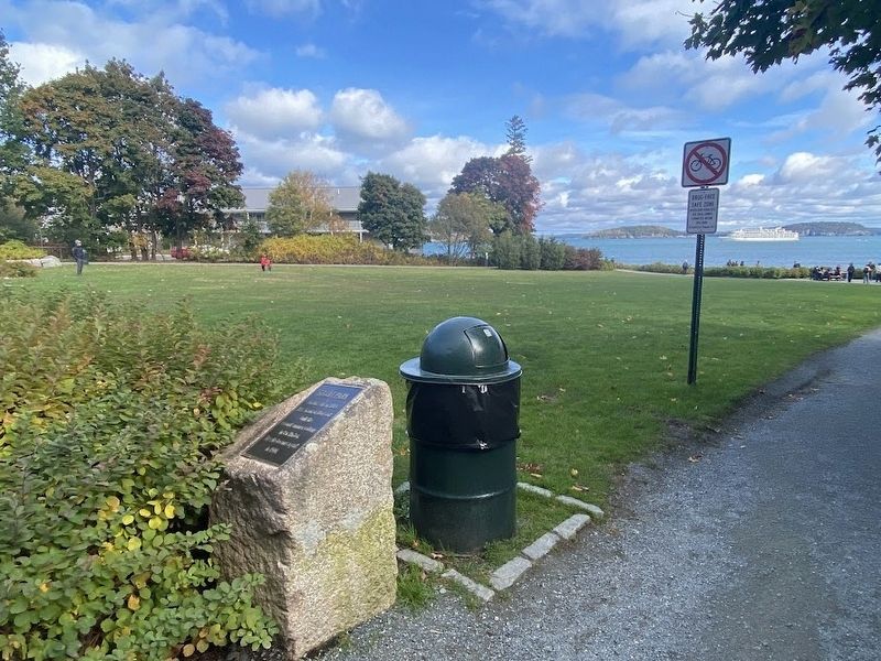
2. Grant Park marker
Credits. This page was last revised on November 10, 2024. It was originally submitted on November 4, 2024, by Darren Jefferson Clay of Duluth, Georgia. This page has been viewed 168 times since then and 33 times this year. Photos: 1, 2. submitted on November 4, 2024, by Darren Jefferson Clay of Duluth, Georgia. • Michael Herrick was the editor who published this page.
