Tyrone Township near York Springs in Adams County, Pennsylvania — The American Northeast (Mid-Atlantic)
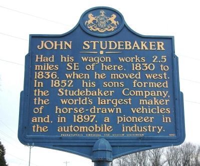
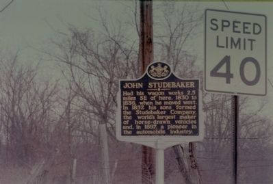
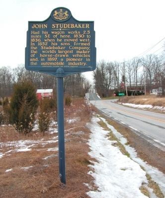
John Studebaker
Erected 1948 by Pennsylvania Historical and Museum Commission. (Marker Number 372.)
Topics and series. This historical marker is listed in these topic lists: Industry & Commerce • Roads & Vehicles. In addition, it is included in the Pennsylvania Historical and Museum Commission series list. A significant historical year for this entry is 1830.
Location. Marker has been reported missing. It was located near 39° 56.904′ N, 77° 7.901′ W. Marker was near York Springs, Pennsylvania, in Adams County. It was in Tyrone Township. Marker was on Oxford Road, 0 miles south of East Berlin Road (Pennsylvania Route 234), on the right when traveling south. Marker is about 100 yards south of the intersection, on the West side of Oxford Road. Touch for map. Marker was at or near this postal address: 4000 Oxford Rd, York Springs PA 17372, United States of America. Touch for directions.
Other nearby markers. At least 8 other markers are within 5 miles of this location, measured as the crow flies. Gettysburg Campaign (approx. ¾ mile away); a different marker also named Gettysburg Campaign (approx. 0.8 miles away); Rock Chapel (approx. one mile away); Original Studebaker Wagon Shop (approx. 2 miles away); Presbyterian Church Cemetery (approx. 3.9 miles away); a different marker also named Gettysburg Campaign (approx. 4.1 miles away); Christ Church Episcopal (approx. 4.1 miles away); Great Conewago Presbyterian Church (approx. 4½ miles away). Touch for a list and map of all markers in York Springs.
Related markers. Click here for a list of markers that are related to this marker. Studebaker's Shops - Pennsylvania and Ohio
Credits. This page was last revised on February 7, 2023. It was originally submitted on March 19, 2006, by J. J. Prats of Powell, Ohio. This page has been viewed 2,469 times since then and 49 times this year. Last updated on December 30, 2009, by Karl Stelly of Gettysburg, Pennsylvania. Photos: 1. submitted on December 30, 2009, by Karl Stelly of Gettysburg, Pennsylvania. 2. submitted on March 19, 2006, by J. J. Prats of Powell, Ohio. 3. submitted on December 30, 2009, by Karl Stelly of Gettysburg, Pennsylvania. • Kevin W. was the editor who published this page.


