
Sparta in Elgin County, Ontario — Central Canada (North America)
Eli Mann Cairn
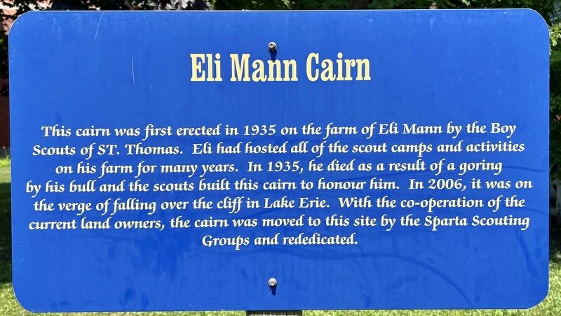
Photographed by Tim Boyd, July 27, 2024
1. Eli Mann Cairn Marker
Topics. This historical marker is listed in these topic lists: Charity & Public Work • Fraternal or Sororal Organizations • Man-Made Features. A significant historical year for this entry is 1935.
Location. 42° 42.156′ N, 81° 4.867′ W. Marker is in Sparta, Ontario, in Elgin County. It is on Sparta Line (County Road 27) 0.2 kilometers west of Quaker Road, on the right when traveling west. Touch for map. Marker is at or near this postal address: 46284 County Road 27, Sparta ON N5P 3S8, Canada. Touch for directions.

Regionally, this marker is in the Southwest Ontario Area and in Southwestern Ontario. It is also in Central Canada. Globally,
this page online
Other nearby markers. At least 8 other markers are within walking distance of this marker: Hiram Burley Smith Early Home and Store (within shouting distance of this marker); Quilt Block: Drunkard’s Path (within shouting distance of this marker); Baptist Parsonage (within shouting distance of this marker); Ye Olde Forge & Anvil (about 90 meters away, measured in a direct line); The Abbey (about 120 meters away); Israel Doan House (about 120 meters away); The Sparta Settlement (about 150 meters away); The Sparta House (about 150 meters away). Touch for a list and map of all markers in Sparta.
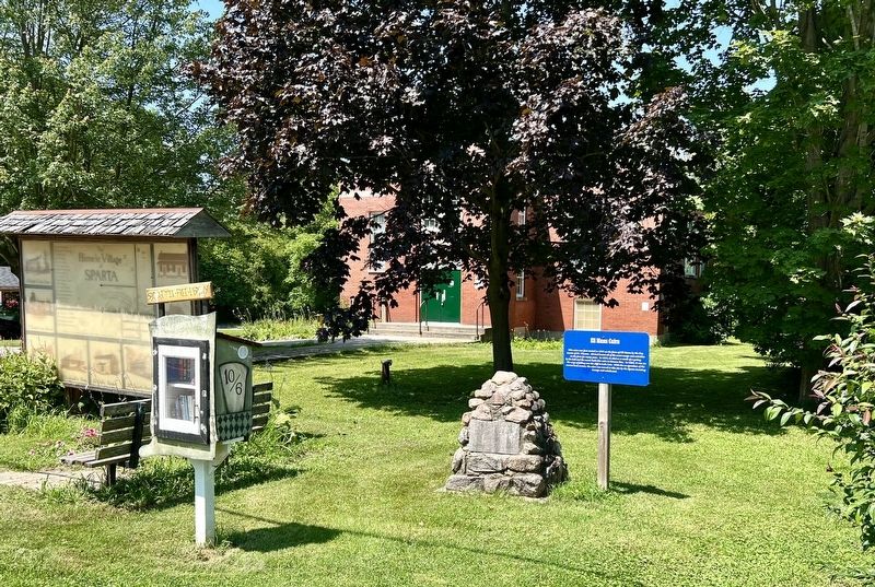
Photographed by Tim Boyd, July 27, 2024
2. Eli Mann Cairn Marker
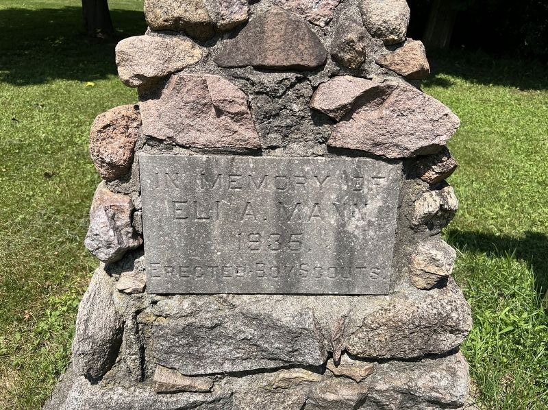
Photographed by Tim Boyd, July 27, 2024
3. Eli Mann Cairn
Credits. This page was last revised on October 25, 2026. It was originally submitted on November 6, 2024, by Tim Boyd of Hamilton, Ontario. This page has been viewed 102 times since then and 10 times this year. Photos: 1, 2, 3. submitted on November 6, 2024, by Tim Boyd of Hamilton, Ontario. • Andrew Ruppenstein was the editor who published this page.
