Mitte in Nürnberg, Bavaria, Germany — Central Europe
St. Klara Kirche
⎯⎯⎯
St. Klara Church
Photographed by James Hulse, September 30, 2024
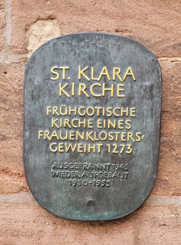
1. St. Klara Kirche / St. Klara Church Marker

Frühgotische kirche eines frauen klosters geweiht 1273. Ausgebrannt 1945 wieder aufgebaut 1950-1953.
Early Gothic church of a women's monastery consecrated in 1273. Burned out in 1945, rebuilt in 1950-1953.
Topics. This historical marker is listed in these topic lists: Religion & Religious Structures • War, World II • Women. A significant historical year for this entry is 1273.
Location. 49° 26.953′ N, 11° 4.714′ E. Marker is in Nürnberg, Bayern (Bavaria). It is in Mitte. It is at the intersection of Königstraße and Klaragasse, on the left when traveling north on Königstraße. The marker is located at the side entrance to the church. Touch for map. Marker is at or near this postal address: Königstraße 66, Nürnberg BY 90402, Germany. Touch for directions.

Regionally, this marker is in German Franconia. Globally, it is in Europe, the European Union, Atlantic Europe, Central Europe, the Schengen Area, Western Europe, and the Western World. Historically, it finds itself in what was once the Holy Roman Empire and also the former West Germany.
Other nearby markers. At
this page online
Photographed by James Hulse, September 30, 2024
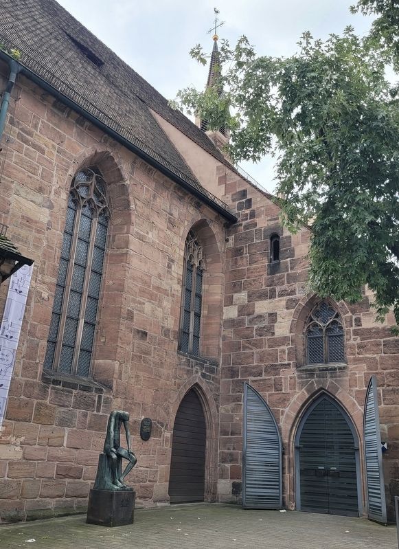
2. The St. Klara Church and Marker
Photographed by James Hulse, September 30, 2024
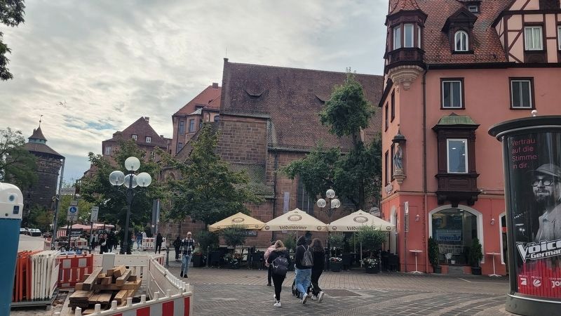
3. The St. Klara Church is in the background on the right of the street
Credits. This page was last revised on November 6, 2024. It was originally submitted on November 6, 2024, by James Hulse of Medina, Texas. This page has been viewed 210 times since then and 37 times this year. Photos: 1, 2, 3. submitted on November 6, 2024, by James Hulse of Medina, Texas.
