Northborough in Worcester County, Massachusetts — The American Northeast (New England)
John Brigham Saw Mill Site
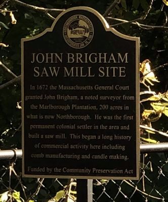
Photographed by Duane and Tracy Marsteller, September 30, 2024
1. John Brigham Saw Mill Site Marker
Erected by Town of Northborough, MA.
Topics. This historical marker is listed in these topic lists: Colonial Era • Industry & Commerce • Settlements & Settlers. A significant historical year for this entry is 1672.
Location. 42° 19.458′ N, 71° 38.587′ W. Marker is in Northborough, Massachusetts, in Worcester County. It is on Whitney Street, on the left when traveling south. Marker is at pedestrian bridge across Howard Brook. Touch for map. Marker is at or near this postal address: 56 Whitney St, Northborough MA 01532, United States of America. Touch for directions.

Regionally, this marker is in the Quiet Corner and in Greater Worcester. It is also in the American Northeast and in New England. Globally, it is in North America, the Western Hemisphere, the Western World,
this page online
Other nearby markers. At least 8 other markers are within walking distance of this marker: Peter Whitney Parsonage Historic District (within shouting distance of this marker); Old Burial Map of the Howard Street Cemetery (approx. 0.2 miles away); Northborough Veterans Memorial (approx. 0.2 miles away); Northborough World War I Memorial (approx. ¼ mile away); PFC. Neil R. Ellsworth (approx. ¼ mile away); Northborough's First and Second Meeting House (approx. ¼ mile away); Cold Harbor Brook Bridge (approx. ¼ mile away); Boston Post Road (approx. 0.3 miles away). Touch for a list and map of all markers in Northborough.
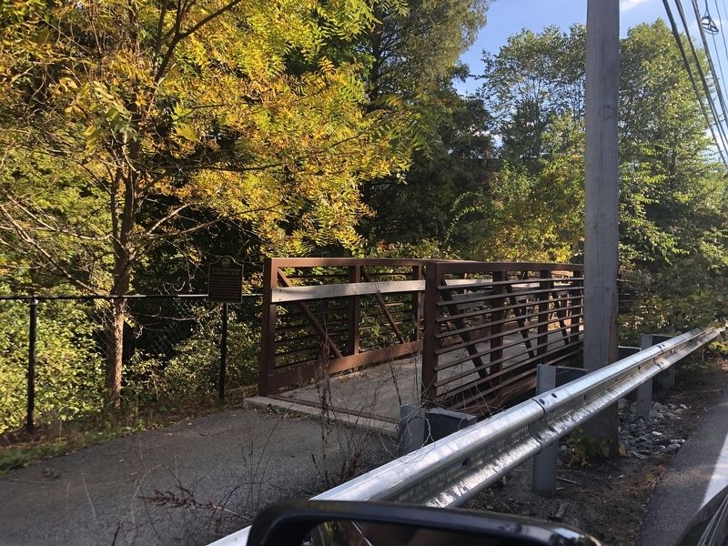
Photographed by Duane and Tracy Marsteller, September 30, 2024
2. John Brigham Saw Mill Site Marker
Credits. This page was last revised on November 7, 2024. It was originally submitted on November 7, 2024, by Duane and Tracy Marsteller of Murfreesboro, Tennessee. This page has been viewed 256 times since then and 24 times this year. Photos: 1, 2. submitted on November 7, 2024, by Duane and Tracy Marsteller of Murfreesboro, Tennessee.
