Bar Harbor in Hancock County, Maine — The American Northeast (New England)
Mt. Desert Island
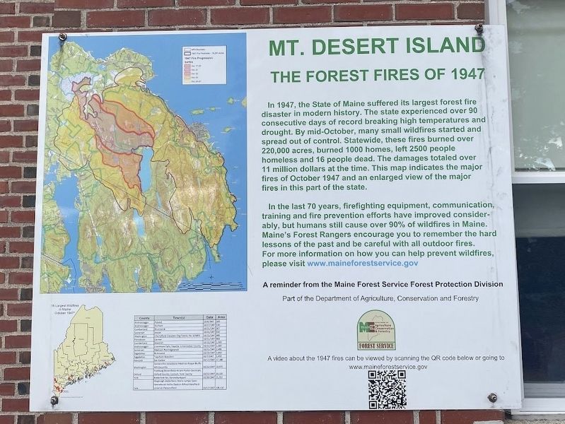
The Forest Fires of 1947
Photographed by Darren Jefferson Clay, October 16, 2024
1. Mt. Desert Island marker
In the last 70 years, firefighting equipment, communication, training and fire prevention efforts have improved considerably, but humans still cause over 90% of wildfires in Maine. Maine's Forest Rangers encourage you to remember the hard lessons of the past and be careful with all outdoor fires. For more information on how you can help prevent wildfires, please visit www.maineforestservice.gov
A reminder from the Maine Forest Service Forest Protection Division Part of the Department of Agriculture, Conservation and Forestry
Topics. This historical marker is listed in these
this page online
Location. 44° 23.294′ N, 68° 12.336′ W. Marker is in Bar Harbor, Maine, in Hancock County. It is on Firefly Lane, on the right when traveling west. Touch for map. Marker is at or near this postal address: 37 Firefly Lane, Bar Harbor ME 04609, United States of America. Touch for directions.

Regionally, this marker is on Mount Desert Island and in Downeast Maine. It is also in the American Northeast, in New England, and on the Eastern Seaboard. Globally, it is in the North Atlantic Region, North America, the Great North Woods, the Western Hemisphere, the Western World, and the Anglosphere. Historically, it finds itself in what was once the Viceroyalty of New France and also Acadia.
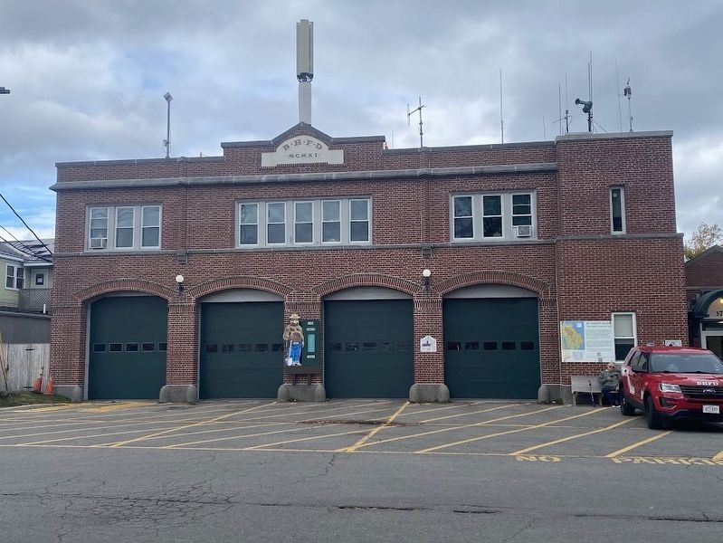
Other nearby markers. At least 8 other markers are within walking distance of this marker: The Bar Harbor Fire Department / Les Pompiers de Bar Harbor (here, next to this marker); Donald A. Wood Band Stand (within shouting distance of this marker); Village Green (about 300 feet away, measured in a direct line); a different marker also named Village Green (about
Photographed by Darren Jefferson Clay, October 16, 2024
2. Mt. Desert Island Markem
Credits. This page was last revised on November 22, 2024. It was originally submitted on November 9, 2024, by Darren Jefferson Clay of Duluth, Georgia. This page has been viewed 151 times since then and 28 times this year. Photos: 1, 2. submitted on November 9, 2024, by Darren Jefferson Clay of Duluth, Georgia. • Andrew Ruppenstein was the editor who published this page.
