Near Tropic in Garfield County, Utah — The American Mountains (Southwest)
Bringing Water to the Desert

Photographed by Tom Bosse, July 26, 2024
1. Bringing Water to the Desert Marker
Erected by National Park Service, U.S. Department of the Interior.
Topics. This historical marker is listed in these topic lists: Man-Made Features • Settlements & Settlers. A significant historical date for this entry is May 23, 1892.
Location. 37° 39.881′ N, 112° 6.885′ W. Marker is near Tropic, Utah, in Garfield County. It is on Mossy Creek Trail, on the right when traveling north. Touch for map. Marker is in this post office area: Tropic UT 84776, United States of America. Touch for directions.

Regionally, this marker is in Canyon Country

this page online
Other nearby markers. At least 8 other markers are within 4 miles of this marker, measured as the crow flies: Hike the Hoodoos (within shouting distance of this marker); Water Canyon (about 600 feet away, measured in a direct line); Mossy Cave (approx. ¼ mile away); Historic Tropic Ditch (approx. 2.4 miles away); Tropic Pioneers (approx. 3.2 miles away); Stephen Tyng Mather (approx. 3.4 miles away); Tragedy and Triumph (approx. 3.7 miles away); Bryce Airport (approx. 3.7 miles away). Touch for a list and map of all markers in Tropic.

Photographed by Tom Bosse, July 26, 2024
2. Bringing Water to the Desert Marker

Photographed by Tom Bosse, July 26, 2024
3. Tropic Ditch Falls

Photographed by Tom Bosse, July 26, 2024
4. Tropic Ditch
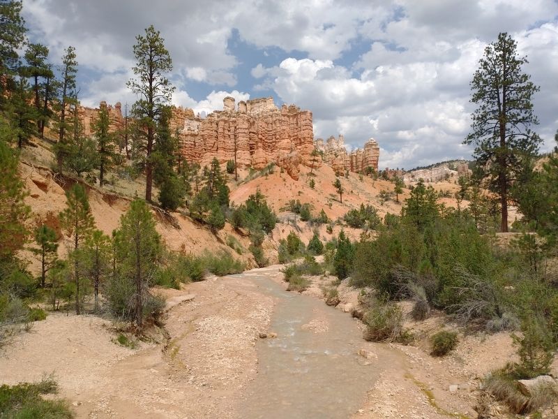
Photographed by Tom Bosse, July 26, 2024
5. Tropic Ditch

Photographed by Tom Bosse, July 26, 2024
6. Tropic Ditch
Credits. This page was last revised on November 10, 2024. It was originally submitted on November 9, 2024, by Tom Bosse of Jefferson City, Tennessee. This page has been viewed 133 times since then and 15 times this year. Photos: 1, 2, 3, 4, 5, 6. submitted on November 9, 2024, by Tom Bosse of Jefferson City, Tennessee. • Andrew Ruppenstein was the editor who published this page.
