Near Kingston in Piute County, Utah — The American Mountains (Southwest)
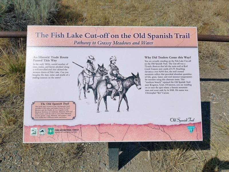
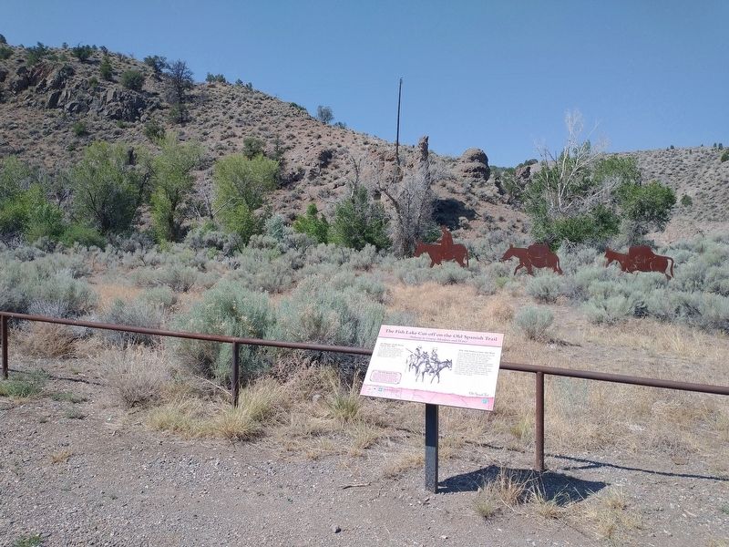
The Fish Lake Cut-off on the Old Spanish Trail
Pathway to Grassy Meadows and Water
Photographed by Tom Bosse, July 27, 2024
1. The Fish Lake Cut-off on the Old Spanish Trail Marker
An Historic Trade Route Passed This Way
In the early 1800s, untold number of men, mules, and horses plodded along a well-travelled trail that skirted the western shores of Fish Lake. Can you imagine the dust, noise and smells of a trading caravan on the move?"
Why Did Traders Come this Way?
You are actually standing on the Fish Lake Cut-off on the Old Spanish Trail. The Cut-off was a 72-mile shortcut that left the main trail at Red Creek Canyon now south of 1-70. Reaching elevation over 9,000 feet, the trail crossed mountain valleys that provided abundant quantities of fish, grass, water, and cool summer temperatures for travelers using this alternate route. This "southern branch" rejoined the Old Spanish Trail near Kingston, Utah. Of interest, you are standing on or near the spot where a famous mountain man and scout rode by in 1848. His name was Christopher "Kit" Carson.
[Caption]: The Old Spanish Trail
This pack trail known as the Old Spanish Trail, stretched 1,200 miles and linked Santa Fe, New Mexico, and the Pablo de Los Angeles in the Mexican Territory of California. Between 1829 and 1848, traders used
this page online
Erected by Utah DNR - State Parks & Recreation, Old Spanish Trail, U.S. Forest Service.
Topics and series. This historical marker is listed in this topic list: Roads & Vehicles. In addition, it is included in the Old Spanish National Trail series list. A significant historical year for this entry is 1829.
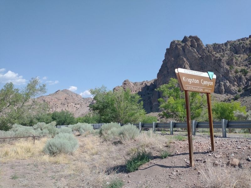
Location. 38° 11.996′ N, 112° 9.196′ W. Marker is near Kingston, Utah, in Piute County. It is on Utah Route 62, on the left when traveling west. Marker is located at the Kingston Canyon Recreation Area. Touch for map. Marker is in this post office area: Kingston UT 84743, United States of America. Touch for directions.

Regionally, this marker is in andspecifically he Central Utah Valleys in Color Country. It is also in the American Mountain West and on the Colorado Plateau. Globally, it is in North America, the Western Hemisphere, the Western World, and the Anglosphere. Historically, it finds itself in what was once New Spain and also Mexico’s Alta California.
Other nearby markers. At least
Photographed by Tom Bosse, July 27, 2024
2. The Fish Lake Cut-off on the Old Spanish Trail Marker
Also see . . . Old Spanish Trail (trade route). (Submitted on November 10, 2024, by Tom Bosse of Jefferson City, Tennessee.)
Photographed by Tom Bosse, July 27, 2024
3. Kingston Canyon Recreation Area
Credits. This page was last revised on November 14, 2024. It was originally submitted on November 10, 2024, by Tom Bosse of Jefferson City, Tennessee. This page has been viewed 155 times since then and 23 times this year. Photos: 1, 2, 3. submitted on November 10, 2024, by Tom Bosse of Jefferson City, Tennessee. • Andrew Ruppenstein was the editor who published this page.
