Hanover Township near Loudonville in Ashland County, Ohio — The American Midwest (Great Lakes)
High Water Mark
July 10, 2006

Photographed by Joel Seewald, November 10, 2024
1. July 10, 2006 Marker
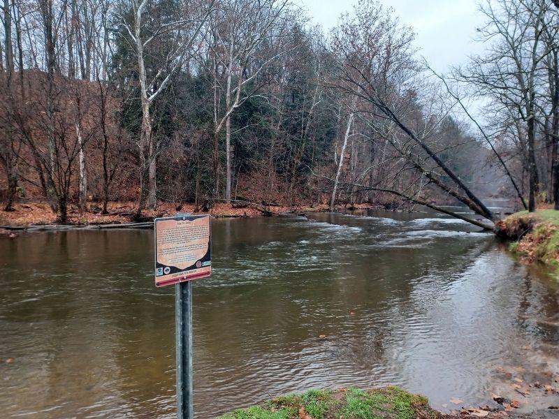
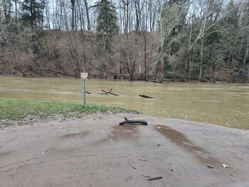
The flash flood event of 2006 was the result of torrential rainfall from a cluster of strong afternoon thunderstorms that took aim at the Mohican State Forest. The heaviest rain fell between 3 PM and 5 PM, with storm total amounts ranging from 4.5 to 5.5 inches. This excessive amount of water roared out of the area hills, spilling into the valley below turning the creek into a rampaging torrent in minutes. The Clear Fork here saw water level rises of over 6 feet in a matter of hours, with water inundating all the way to State Route 3.
The National Weather Service will issue Flood Warning when flash flooding is occurring or is imminent in a specified area. If your locale is placed under a warning, you should move to safe ground immediately.
National Weather Service Cleveland www.weather.gov/CLE
Ohio River Forecast Center www.weather.gov/ohrfc
USGS Ohio Water Science Center www.oh.water.usgs.gov
High Water Mark
Erected by National Oceanic and Atmospheric Administration, National Weather Service, Ohio Department of Natural Resources, United States Geological Survey.
Topics and series.
this page online
Location. 40° 36.527′ N, 82° 16.016′ W. Marker is near Loudonville, Ohio, in Ashland County. It is in Hanover Township. It is on Ohio Route 3. The marker is at the paddling access point at the Class A Campground in Mohican State Park. Touch for map. Marker is at or near this postal address: 3116 OH-3, Loudonville OH 44842, United States of America. Touch for directions.

Regionally, this marker is in Amish Country. It is also in the American Midwest. Globally, it is in North America, the Western Hemisphere, the Western World, and the Anglosphere. Historically, it finds itself in what was once the Haudenosaunee (Iroquois) Confederacy, the territory of the Mississippian Culture, and the Northwest Territory.
Other nearby markers. At least 8 other markers are within walking distance of this marker: Cline Cabin (approx. 0.4 miles away); The Outhouse (approx. half a mile away); The Smokehouse (approx. half a mile away);
Photographed by Joel Seewald, November 10, 2024
2. July 10, 2006 Marker
View looking toward the northwest along the Clear Fork of the Mohican River.
Also see . . . Flash Floods of June and July 2006. Information about a series of flash floods on the National Weather Service website.
Beginning with the extreme flood of late June, northern Ohio and northwestern Pennsylvania entered an unusually active flash flood season that lasted through the month of July. Two consecutive days of heavy thunderstorms in late June brought the worst flooding many areas in northern Ohio had seen in nearly 40 years. When all was done six counties in Ohio (Cuyahoga, Erie, Huron, Lucas, Sandusky, and Stark) had been declared major disaster areas. Periods of torrential rains continued into July. In a little more than 5 weeks, at least 6 major flash flood events took place across the area. Three flood-related fatalities were reported during the month, and damage to homes and infrastructure totaled in the hundreds of(Submitted on November 15, 2024, by Joel Seewald of Madison Heights, Michigan.)millions.Photographed by Joel Seewald, November 10, 20243. July 10, 2006 Marker

Photographed by Craig Doda, April 5, 2025
4. July 10, 2006 Marker
Credits. This page was last revised on October 30, 2025. It was originally submitted on November 15, 2024, by Joel Seewald of Madison Heights, Michigan. This page has been viewed 380 times since then and 85 times this year. Photos: 1, 2, 3. submitted on November 15, 2024, by Joel Seewald of Madison Heights, Michigan. 4. submitted on April 9, 2025, by Craig Doda of Napoleon, Ohio.
