Near New Vrindaban in Marshall County, West Virginia — The American South (Appalachia)
McCreary Cemetery
Photographed by Barry Swackhamer, May 1, 2022
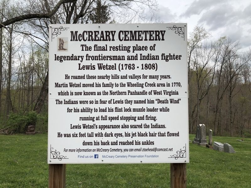
1. McCreary Cemetery Marker
Lewis Wetzel (1763-1808)
He roamed these nearby hills and valleys for many years. Martin Wetzel moved his family to the Wheeling Creek area in 1770, which is now known as the Northern Panhandle of West Virginia. The Indians were so in fear of Lewis that they named him "Death Wind" for his ability to load his flint lock muzzle loader while running at full speed stopping and firing. Lewis Wetzel's appearance also scared the Indians. He was six feet tall with dark eyes, his jet black hair that flowed down his back and reached his ankles.
For more information on McCreary Cemetery, you can email [email protected]
Erected by McCreary Cemetery Preservation Foundation.
Topics. This historical marker is listed in this topic list: Cemeteries & Burial Sites. A significant historical year for this entry is 1770.
Location. 39° 58.12′ N, 80° 36.45′ W. Marker is near New Vrindaban, West Virginia, in Marshall County. It is at the intersection of Big Wheeling Creek Road and McCreary's Ridge Road, on the left when traveling north on Big Wheeling Creek
this page online

Regionally, this marker is in the Northern Panhandle and in the High Valley. It is also in the American South, specifically in the Upper South, in the Ohio River Valley, in Appalachia, and specifically in Northern Appalachia. Globally, it is in North America, the Western Hemisphere, the Western World, and the Anglosphere. Historically, it finds itself in what was once the territory of the Mississippian Culture.
Other nearby markers. At least 8 other markers are within 6 miles of this marker, measured as the crow flies: Fort Wetzel (approx. 3.1 miles away); Sherrard Clemens (approx. 3.8 miles away); Revolutionary War Soldiers (approx. 5 miles away in Pennsylvania); Grand Army of Republic (approx. 5½ miles away); a different marker also named Revolutionary War Soldiers (approx. 5.6 miles away); Monument Place (approx. 5.8 miles away); Osiris Temple Legion of Honor (approx. 5.8 miles away); a different marker also named “Monument Place” (approx. 5.8 miles away).
Photographed by Barry Swackhamer, May 1, 2022
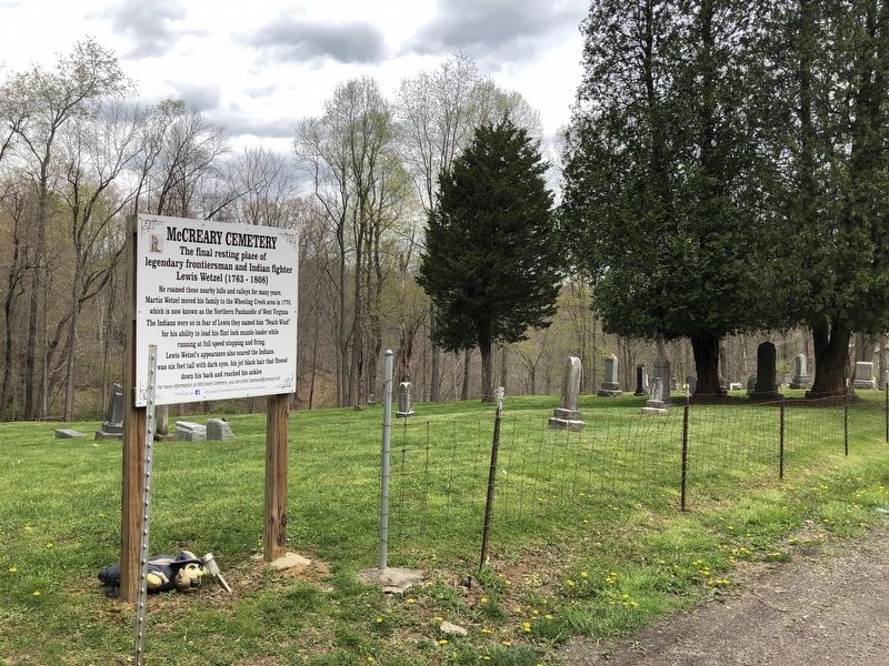
2. McCreary Cemetery Marker
Photographed by Barry Swackhamer, May 1, 2022
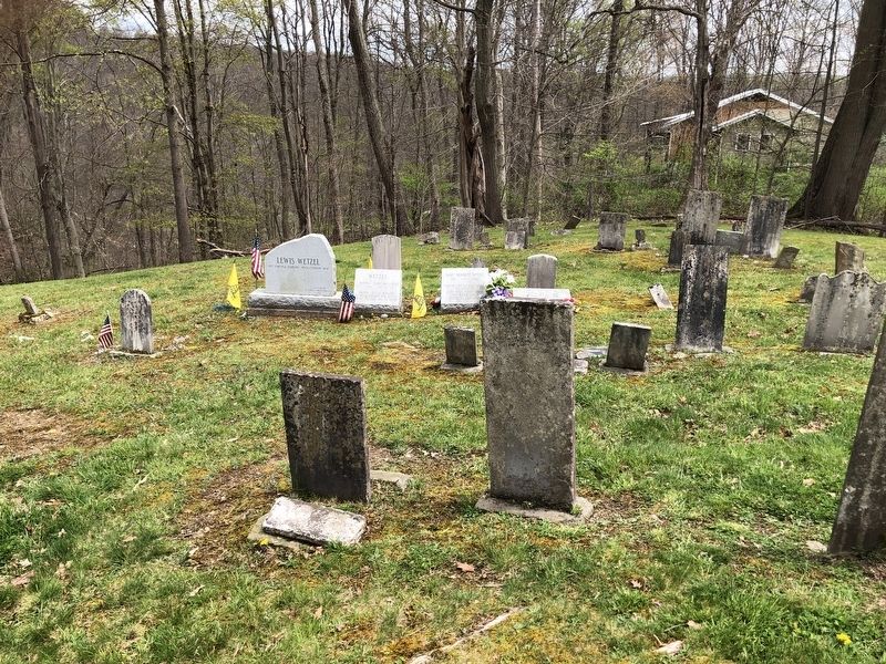
3. McCreary Cemetery Marker
Credits. This page was last revised on August 22, 2026. It was originally submitted on November 16, 2024, by Barry Swackhamer of Brentwood, California. This page has been viewed 757 times since then and 149 times this year. Photos: 1, 2, 3. submitted on November 16, 2024, by Barry Swackhamer of Brentwood, California.
