Villette in Paris in Département de Paris, Île-de-France, France — Western Europe
La Bassin de Villette
| — | Histoire de Paris | — |
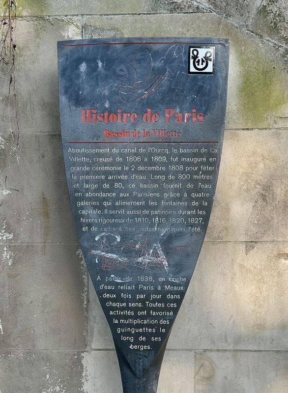
Photographed by Andrew Ruppenstein, November 1, 2024
1. La Bassin de Villette Marker

The culmination of the Ourcq Canal, the La Villette basin, dug from 1806 to 1809, was inaugurated with great ceremony on December 2, 1808 to celebrate the first arrival of water. 800 meters long and 80 wide, this basin provided water in abundance to Parisians thanks to four galleries that fed the fountains of the capital. It also served as an ice rink during the harsh winters of 1810, 1816, 1820, 1827, and as a setting for water jousts in the
this page online
Erected by Ville de Paris.
Topics and series. This historical marker is listed in this topic list: Waterways & Vessels. In addition, it is included in the Histoire de Paris series list. A significant historical date for this entry is December 2, 1808.
Location. 48° 53.038′ N, 2° 22.158′ E. Marker is in Paris, Île-de-France, in Département de Paris. It is in Villette. It is at the intersection of Quai de la Seine and Avenue de Flandre on Quai de la Seine. Touch for map. Marker is at or near this postal address: 4 Quai de la Seine, Paris, Île-de-France 75019, France. Touch for directions.

Regionally, it is in the North Atlantic Region, Europe, the European Union, Atlantic Europe, the Schengen Area, Western Europe, a coastal Mediterranean country, and the Western World. Historically, it finds itself in what was once a French colony and also the Roman Empire.
Other nearby markers. At least 8 other markers are within walking distance of
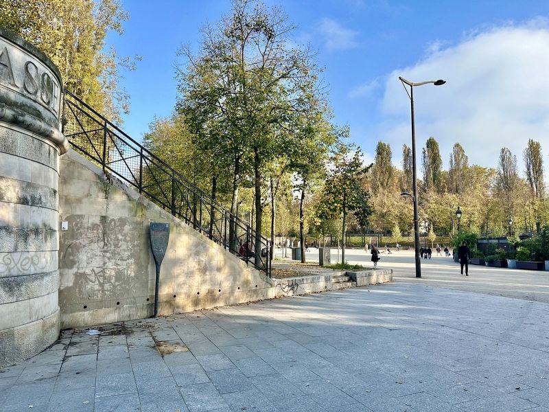
Photographed by Andrew Ruppenstein, November 1, 2024
2. La Bassin de Villette Marker - wide view
Also see . . . Bassin de la Villette (Wikipedia). (Submitted on November 17, 2024.)
Additional keywords. panneau

Photographed by Andrew Ruppenstein, November 1, 2024
3. La Bassin de Villette, looking northeast from marker site
The Bassin de la Villette (La Villette Basin) is the largest artificial lake in Paris. It was filled with water on 2 December 1808. Located in the 19th arrondissement of the capital, it links the Canal de l'Ourcq to the Canal Saint-Martin, and it represents one of the elements of the Réseau des Canaux Parisiens (Parisian Canal Network), a public-works authority operated by the city...- Wikipedia
Credits. This page was last revised on April 15, 2025. It was originally submitted on November 17, 2024, by Andrew Ruppenstein of Lamorinda, California. This page has been viewed 132 times since then and 18 times this year. Photos: 1, 2, 3. submitted on November 17, 2024, by Andrew Ruppenstein of Lamorinda, California.
