
Pelican Rapids in Otter Tail County, Minnesota — The American Midwest (Upper Plains)
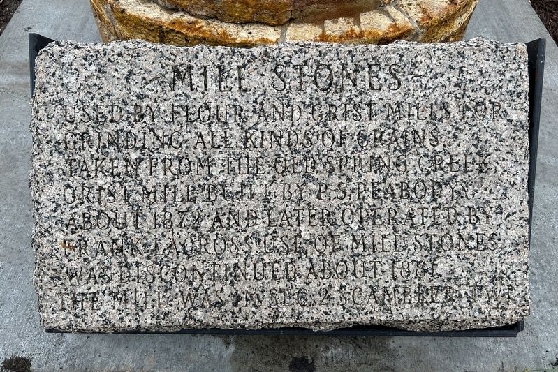
Mill Stones
October 24, 2024
1. Mill Stones Marker
Erected 1946.
Topics. This historical marker is listed in this topic list: Agriculture. A significant historical year for this entry is 1872.
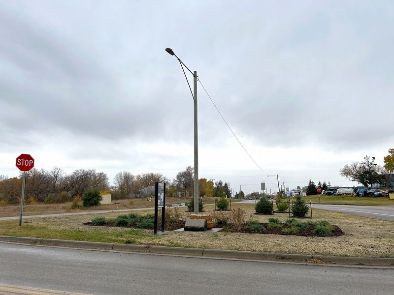
Location. 46° 34.82′ N, 96° 5.008′ W. Marker is in Pelican Rapids, Minnesota, in Otter Tail County. It is on County Highway 9 north of U.S. 59, on the right when traveling north. Located at the Pelican Rapids Village Historical Marker Wayside area. Touch for map. Marker is in this post office area: Pelican Rapids MN 56572, United States of America. Touch for directions.

Regionally, this marker is in the American Midwest and in the Corn Belt. Globally, it is in North America, the Western Hemisphere, the Western World, and the Anglosphere. Historically, it finds itself in what was once Rupert’s Land, the territory of the Mississippian Culture, and the Louisiana Purchase.
Other nearby markers. At least 8 other
this page online
Also see . . . Pelican Rapids Village Historical Marker - MNDOT Historic Roadside Structures Inventory (PDF). Excerpt:
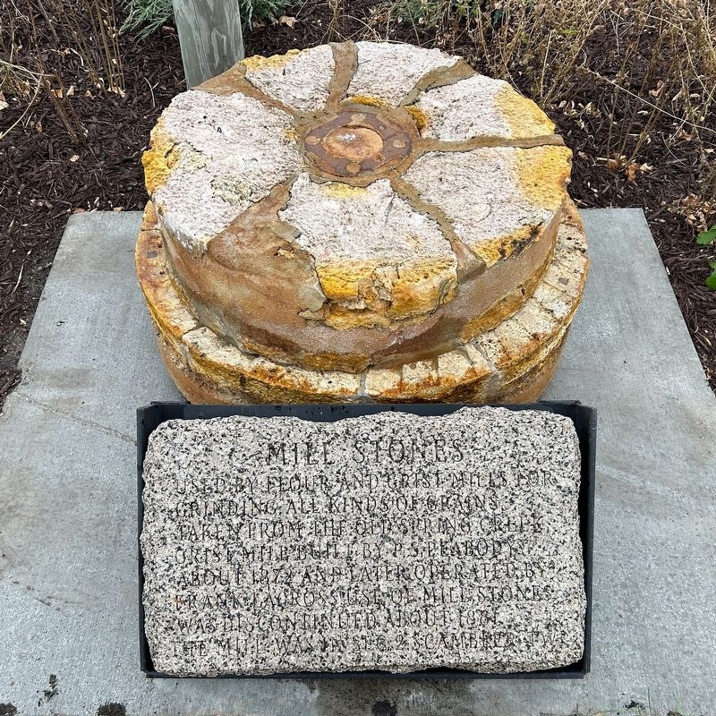
"Two millstones were used to grind grain. The lower one was stationary and was called the bedder. The upper stone, called the runner, was driven by the large water wheel. Grain was poured into a bin, then flowed onto a moving belt with cups or buckets, was carried to the top of a chute, and then slid down a pipe into a hole in the center of the top millstone. The millstones had patterns of grooves (called furrows) cut into them, and when the top millstone turned, the furrows(Submitted on November 18, 2024.)crushed the grain between the stones. The ground grain then flowed through the lower millstone, down a chute, and into a bin."October 24, 20242. Mill Stones & Marker
October 24, 2024
3. Mill Stones Marker
Credits. This page was last revised on November 18, 2024. It was originally submitted on November 18, 2024. This page has been viewed 171 times since then and 19 times this year. Photos: 1, 2, 3. submitted on November 18, 2024.
