Fort Mitchell in Russell County, Alabama — The American South (East South Central)
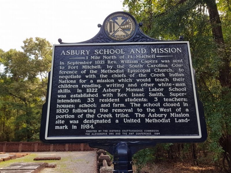
Asbury School and Mission
1 Mile North of Ft. Mitchell
Photographed by J. Makali Bruton, June 30, 2018
1. Asbury School and Mission Marker, recently restored
Erected 1984 by The Historic Chattahoochee Commission, The Alexandria UMC and The AWF Conference.
Topics and series. This historical marker is listed in these topic lists: Education • Indigenous Peoples and Communities • Religion & Religious Structures • Settlements & Settlers. In addition, it is included in the United Methodist Church Historic Sites series list. A significant historical month for this entry is September 1821.
Location. 32° 20.82′ N, 85° 1.146′ W. Marker is in Fort Mitchell, Alabama, in Russell County. It can
this page online

Regionally, this marker is in Greater Columbus. It is also in the American South, specifically in the Deep South, and in the Black Belt. Globally, it is in North America, a Gulf of Mexico state, the Western Hemisphere, the Western World, and the Anglosphere. Historically, it finds itself in what was once the territory of the Mississippian Culture, one of the Confederate States of America, and the Antebellum South.
Other nearby markers. At least 8 other markers are within walking distance of this marker: John Crowell (here, next to this marker); James Cantey (here, next to this marker); Fort Mitchell Military Cemetery (about 300 feet away, measured in a direct line); Fort Mitchell (about 600 feet away); United States Indian Trading Post (about 600 feet
Photographed by Mark Hilton, February 16, 2024
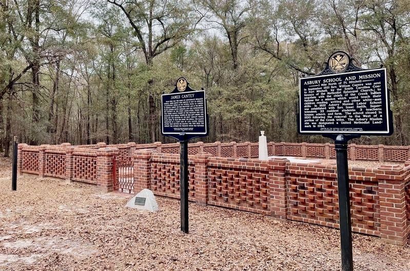
2. Asbury School and Mission Marker (on right).
Also see . . . Fort Mitchell in the Encyclopedia of Alabama. (Submitted on January 1, 2010, by Timothy Carr of Birmingham, Alabama.)
Credits. This page was last revised on February 16, 2024. It was originally submitted on January 1, 2010, by Timothy Carr of Birmingham, Alabama. This page has been viewed 4,064 times since then and 161 times this year. Photos: 1. submitted on July 10, 2018, by J. Makali Bruton of Washington, District of Columbia. 2. submitted on February 16, 2024, by Mark Hilton of Montgomery, Alabama. • Kevin W. was the editor who published this page.
