
Port Perry in Durham Region, Ontario — Central Canada (North America)
Port Perry Lawn Bowling Club

Photographed by Cosmos Mariner, June 2, 2024
1. Port Perry Lawn Bowling Club Marker
Lawn bowling became popular sport in the early 1900s but it wasn't until July 1908 that a lawn bowling club was established in Port Perry. George Gerrow was the first president of the 20 member club.
A year after forming the club, they purchased this piece of land on Queen Street in preparation for a new lawn bowling facility. A cement wall was constructed along the street in 1910 and the following year the club installed electric lights.
Exactly when the club house was built has not been determined, although in June 1937 the lawn bowling club announced a remodelling and expansion of the original facility.
The Port Perry Lawn Bowling Club was honoured in 1953 when a member of their club, Merlin Letcher, was elected president of the Provincial Lawn Bowling Association of Ontario.
Plans got underway in late 1979 to move the club to larger quarters, but it was five years before the club received a $25,000 Wintario grant which made it possible.
A two-acre site on Old Simcoe Road was purchased in 1984 and the official opening of the new Port Perry Lawn Bowling Club took place in August 1986.
Erected by Township of Scugog.
this page online
Topics. This historical marker is listed in these topic lists: Architecture • Parks & Recreational Areas • Sports. A significant historical month for this entry is July 1908.
Location. 44° 6.245′ N, 78° 56.777′ W. Marker is in Port Perry, Ontario, in Durham Region. It is on Queen Street just west of John Street, on the right when traveling west. The marker is located along the sidewalk on the south side of Reflection Park. Touch for map. Marker is at or near this postal address: 279 Queen Street, Port Perry ON L9L 1B9, Canada. Touch for directions.

Regionally, this marker is in Greater Toronto, specifically on the Golden Horseshoe, in the York, Durham and Headwaters Area, and in the Toronto Metropolitan Area. It is also in Central Canada. Globally, it is in North America, on the Great Lakes, in the Western Hemisphere, in the Western World, and in the Anglosphere. Historically, it finds itself in what was once a British colony, the Viceroyalty of New France, the Haudenosaunee (Iroquois) Confederacy, and Rupert’s Land.
Other nearby markers. At least 8 other markers are within walking distance of this marker: Scugog War Memorial Library
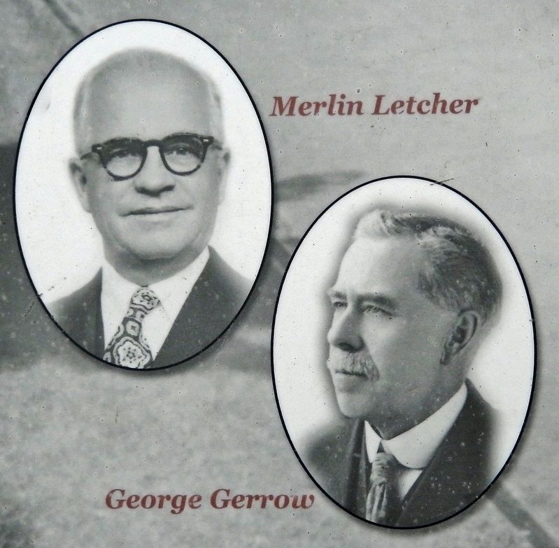
2. Marker detail: Merlin Letcher & George Gerrow
Also see . . .
1. Port Perry Lawn Bowling Club.
Excerpt: The Port Perry Lawn Bowling Club, located in the heart of the town, offers a serene and relaxing environment for members to enjoy this traditional sport. With well-maintained greens and a welcoming community, the club is the perfect place to spend a leisurely afternoon honing your bowling skills. The club provides instruction for beginners and opportunities for both casual play and competitive leagues, making it an ideal destination for players of all levels of experience.(Submitted on November 21, 2024, by Cosmos Mariner of Cape Canaveral, Florida.)
2. Port Perry Lawn Bowling Club (YouTube).
Photographed by Cosmos Mariner, June 2, 2024
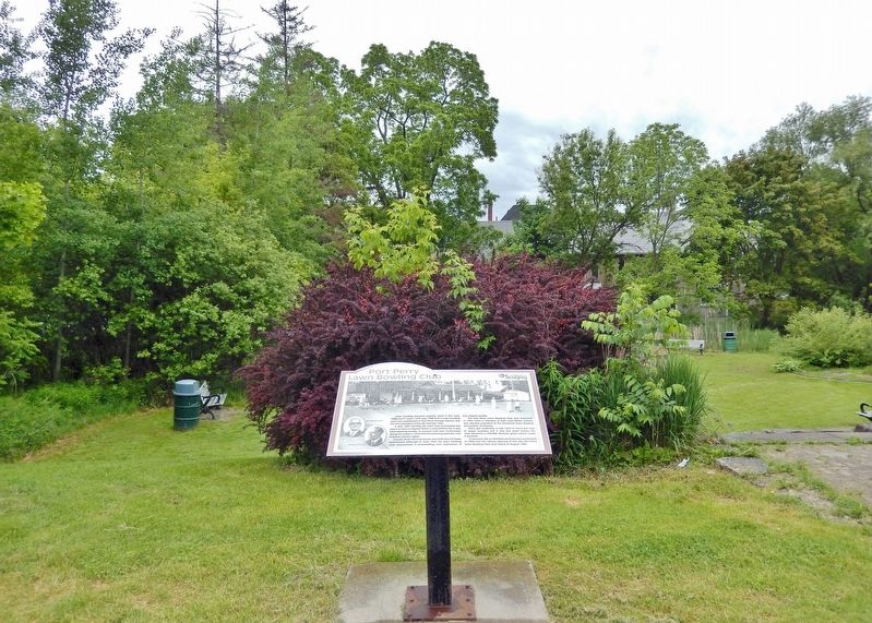
3. Port Perry Lawn Bowling Club Marker
Looking north from Queen Street; Reflection Park is in the background.
Credits. This page was last revised on November 22, 2024. It was originally submitted on November 20, 2024, by Cosmos Mariner of Cape Canaveral, Florida. This page has been viewed 120 times since then and 13 times this year. Photos: 1, 2, 3. submitted on November 21, 2024, by Cosmos Mariner of Cape Canaveral, Florida.
