Near Dell in Beaverhead County, Montana — The American West (Mountains)
The Montana-Utah Road
Photographed by Barry Swackhamer, May 12, 2018
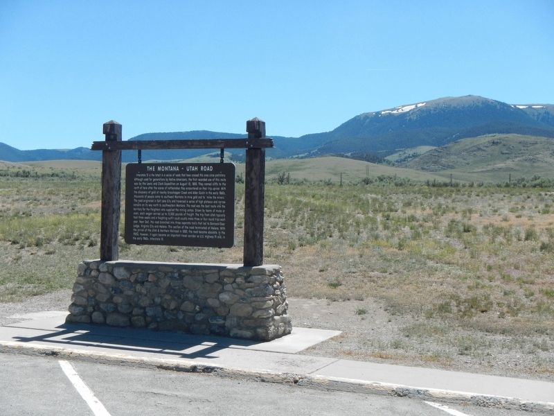
1. The Montana-Utah Road Marker
Inscription.
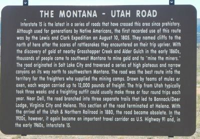
Interstate 15 is the latest in a series of roads that have traversed this area since prehistory. Although used for generations by Native Americans, the first recorded use of this route was by the Lewis and Clark Expedition on August 10, 1805. They named cliffs to the north of here after the scores of rattlesnakes they encountered on their trip upriver. With the discovery of gold at nearby Grasshopper Creek and Alder Gulch in the early 1860s, thousands of people came to southwest Montana to mine gold and to "mine the miners." The road originated in Corinne, Utah and traversed a series of high plateaus and narrow canyons on its way north to southwestern Montana. The road was the best route into the territory for the freighters who supplied the mining camps. Drawn by teams of mules or oxen, each wagon carried up to 12,000 pounds of freight. The trip from Utah typically took three weeks and a freighting outfit could usually make three or four round trips each year. Near Dell, the Montana-Utah Road branched into three separate trails that led to Bannack/Deer Lodge, Virginia City and Helena. This section of the road terminated
Click or scan to see this page online
at Helena. With the arrival of the Utah & Northern Railroad in 1880, the Montana-Utah Road became obsolete. In the 1920s, however, it again became an important travel corridor as U.S. Highway 91 and, in the early 1960s, as Interstate 15.
Erected by Montana Department of Transportation.
Topics. This historical marker is listed in this topic list: Roads & Vehicles.
Location. 44° 51.132′ N, 112° 47.802′ W. Marker is near Dell, Montana, in Beaverhead County. It is on Interstate 15 at milepost 35 near Red Rock Road. Touch for map. Marker is in this post office area: Dillon MT 59725, United States of America. Touch for directions.
Regionally, this marker is in andspecifically outhwest Montana, in Gold West Country, in Mining Country. It is also in the American Mountain West and in the Lewis & Clark Corridor. Globally, it is in North America, the Rocky Mountains, the Western Hemisphere, the Western World, and the Anglosphere. Historically, it finds itself in what was once Rupert’s Land and also the Louisiana Purchase.
Other nearby markers. At least 8 other markers are
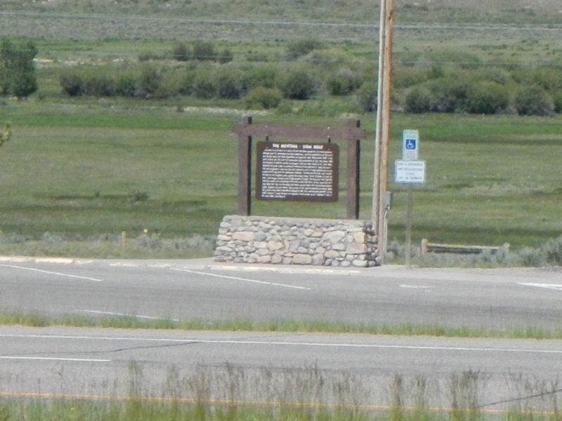
More about this marker. This marker is located at the Southbound Red Rock Rest Area off of Interstate 15. There is a duplicated marker at the Northbound rest area.
Photographed by Barry Swackhamer, May 12, 2018
3. Duplicate Montana-Utah Road Marker across the freeway
Credits. This page was last revised on November 21, 2024. It was originally submitted on October 7, 2018, by Barry Swackhamer of Brentwood, California. This page has been viewed 2,792 times since then and 233 times this year. Last updated on November 21, 2024, by Carl Gordon Moore Jr. of North East, Maryland. Photos:1, 2, 3. submitted on October 7, 2018, by Barry Swackhamer of Brentwood, California. • Bill Pfingsten was the editor who published this page.