North Murderkill Hundred in Rising Sun-Lebanon in Kent County, Delaware — The American Northeast (Mid-Atlantic)
Banning Meeting House
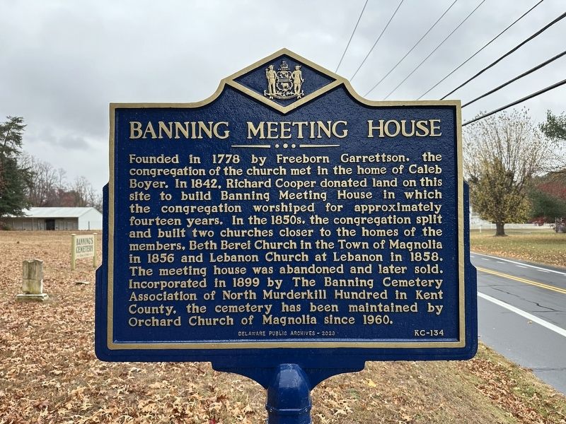
Photographed by Pete Skillman, November 22, 2024
1. Banning Meeting House Marker
Erected 2023 by Delaware Public Archives. (Marker Number KC-134.)
Topics and series. This historical marker is listed in these topic lists: Cemeteries & Burial Sites • Religion & Religious Structures. In addition, it is included in the Delaware Public Archives series list. A significant historical year for this entry is 1778.
Location. 39° 5.381′ N, 75° 29.834′ W. Marker is in Rising Sun-Lebanon, Delaware, in Kent County. It is in North Murderkill Hundred. It is
this page online

Regionally, this marker is in the American Mid-Atlantic, on the Delmarva Peninsula, and on the Eastern Seaboard. Globally, it is in the North Atlantic Region, North America, the Western Hemisphere, the Western World, and the Anglosphere. Historically, it finds itself in what was once New Netherland, one of the original Thirteen Colonies, and the Antebellum South.
Other nearby markers. At least 8 other markers are within 3 miles of this marker, measured as the crow flies: Warner Mifflin 1745-1798 (approx. 1.4 miles away); Murderkill/Motherkiln Friends Meeting (approx. 1.4 miles away); Star Hill A.M.E. Church (approx. 2.2 miles away); Camden (approx. 2.7 miles away); The Dickinsons in Delaware (approx. 2.7 miles away); Toward a Future Union (approx. 2.7 miles away); The St. Jones River: Why the Mansion Faces South (approx. 2.7 miles away); Wolf Creek - A River Changes Course (approx. 2.7 miles away).
Other
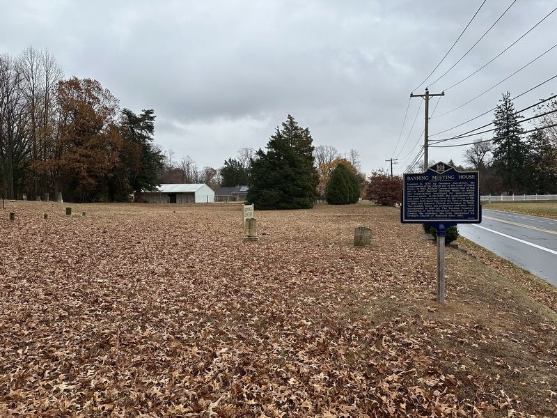
Photographed by Pete Skillman, November 22, 2024
2. Banning Meeting House Marker - wide view
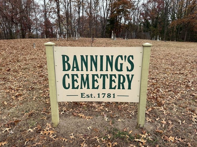
Photographed by Pete Skillman, November 22, 2024
3. Banning Meeting House Marker
A large sign marking the cemetery is nearby.
Credits. This page was last revised on May 15, 2026. It was originally submitted on November 22, 2024, by Pete Skillman of Wilmington, Delaware. This page has been viewed 384 times since then and 32 times this year. Photos: 1, 2, 3. submitted on November 22, 2024, by Pete Skillman of Wilmington, Delaware.
