Mill Creek Hundred in Hockessin in New Castle County, Delaware — The American Northeast (Mid-Atlantic)
Deer Hunting
Station 9
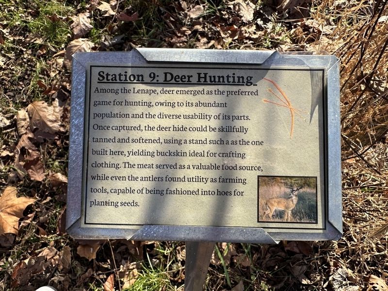
Photographed by Pete Skillman, November 16, 2024
1. Deer Hunting Marker
Erected by Ashland Nature Center.
Topics. This historical marker is listed in these topic lists: Animals • Indigenous Peoples and Communities.
Location. 39° 47.903′ N, 75° 39.679′ W. Marker is in Hockessin, Delaware, in New Castle County. It is in Mill Creek Hundred. It can be reached from Barley Mill Road north of Brackenville Road, on the left when traveling north. Touch for map. Marker is at or near this postal address: 3511 Barley Mill Rd, Hockessin DE 19707, United States of America. Touch for directions.

Regionally, this marker is in Greater Wilmington and in Greater Philadelphia. It is also in the American
this page online
Other nearby markers. At least 8 other markers are within walking distance of this marker: The Black Walnut Tree (a few steps from this marker); Spice Bush (within shouting distance of this marker); The Fishing Weir (about 400 feet away, measured in a direct line); The Longhouse (about 500 feet away); Where are the Lenape Now? (about 600 feet away); The Marsh and Cattails (about 600 feet away); The Red Clay Creek (about 800 feet away); The Black Cherry Tree (approx. 0.2 miles away). Touch for a list and map of all markers in Hockessin.
More about this marker. This marker is part of the Lenni Lenape Trail at Ashland Nature Center.
Also see . . . Ashland Nature Center. (Submitted on November 16, 2024, by Pete Skillman of Wilmington, Delaware.)
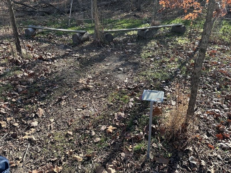
Photographed by Pete Skillman, November 16, 2024
2. Deer Hunting Marker - wide view
Credits. This page was last revised on June 5, 2026. It was originally submitted on November 16, 2024, by Pete Skillman of Wilmington, Delaware. This page has been viewed 149 times since then and 16 times this year. Last updated on November 22, 2024, by Carl Gordon Moore Jr. of North East, Maryland. Photos: 1, 2. submitted on November 16, 2024, by Pete Skillman of Wilmington, Delaware. • Devry Becker Jones was the editor who published this page.
